

Swamplot’s Daily Demolition Report lists buildings that received City of Houston demolition permits the previous weekday.
Sooner or later, all things must come to an end:
***
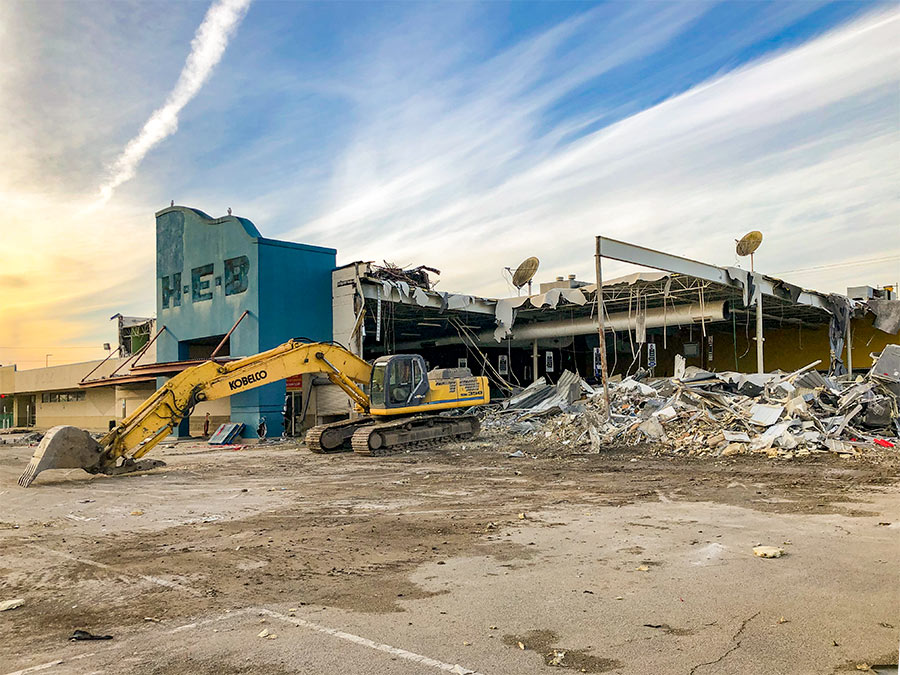
Commercial Structures
- Hoffman Apartments, 3901 Hoffman St. 77026 (Kashmere Gardens; Bldgs. 1—26)
- The Georgian Apartments, 2511 Willowick Rd. 77027 (Royden Oaks; previously on Swamplot)
- The Georgian Apartments, 3827 Wickersham Ln. 77027 (Royden Oaks; previously on Swamplot)
- The Georgian Apartments, 3829 Wickersham Ln. 77027 (Royden Oaks; previously on Swamplot)
- The Georgian Apartments, 3831 Wickersham Ln. 77027 (Royden Oaks; previously on Swamplot)
- The Georgian Apartments, 3833 Wickersham Ln. 77027 (Royden Oaks; previously on Swamplot)
- The Georgian Apartments, 3835 Wickersham Ln. 77027 (Royden Oaks; previously on Swamplot)
- The Georgian Apartments, 3837 Wickersham Ln. 77027 (Royden Oaks; previously on Swamplot)
Residences
- 6103 Queenswood Ln. 77008 (Timergrove Manor; photos)
- 1119 E. 27th St. 77009 (Sunset Heights; photos)
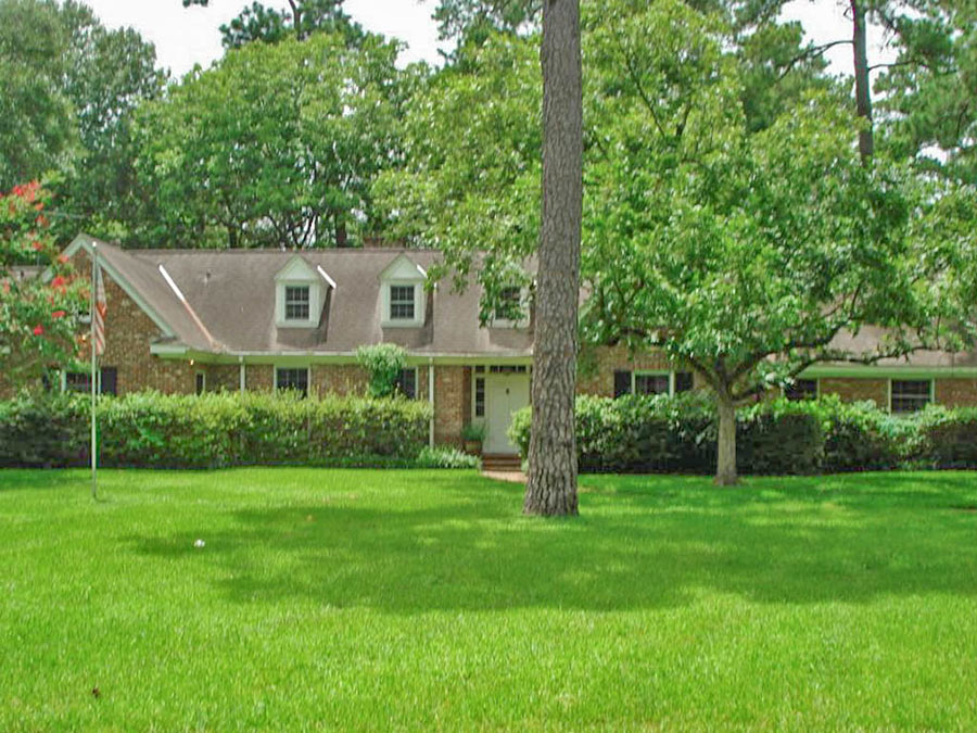
- 3101 Aberdeen Way 77025 (Southern Oaks; photos)
- 4035 Mischire Dr. 77025 (Woodshire; photos)
- 4046 Durness Way 77025 (Ayrshire)
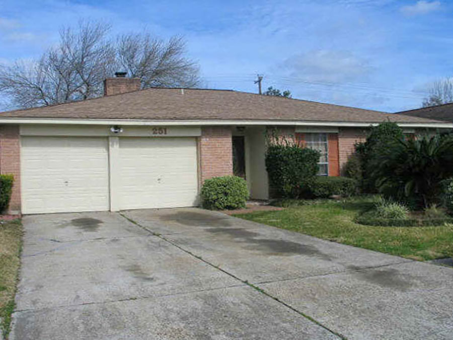
- 4050 Durness Way 77025 (Ayrshire; photos)
- 5862 Southington St. 77033 (Southcrest)
- 7327 Guildford Rd. 77074 (Sharpstown)
- 1040 South Ln. 77088 (Lincoln City)
Photo of 4050 Durness Way: HAR
Does anyone have a map of recent Houston area demos? Swamplot once published a nice one….in 2013. One may hypothesize that the most flooded areas will have the most demos. Hypotheses are meant to be tested.
@Gisgo A map would be cool. I’ve been tracking demos in my parent’s neighborhood post-Harvey using the daily demolition report. 33 homes have been demolished in their subdivision and the two surrounding subdivisions (Linkwood, Woodside, Woodshire) since Harvey hit last year.