

- Downtown’s Harris County Criminal Courthouse Could Be Closed for at Least 8 Months [KHOU]
- Residents File Class Action Lawsuit Blaming Flooding on Government Mismanagement of Addicks and Barker Reservoirs [Courthouse News]
- Houston Was Hours Away from Having a Drinking Water Crisis [CBS News]
- Groups Demand Answers About Harvey’s Impact on San Jacinto River Waste Pits Site [Houston Chronicle]
- Some 7,500 Harvey Evacuees Have Sought Shelter at State Parks [Houston Public Media]
- Commuters To Endure Traffic Congestion Potentially for Weeks as Roads Reopen [Houston Chronicle]
- City Estimates It Will Collect 8 Million Cubic Yards of Harvey-Related Waste [Houston Chronicle]
- The Scene Cleaning Up in Kashmere Gardens [LA Times]
- Video: After Harvey, Texas Homeowners Fighting Mold [AP]
- How To Safely Re-enter Flooded Homes [Click2Houston]
- Meyerland Considers Risks of Rebuilding After 3 Floods in 3 Years [Wall Street Journal]
- Houston’s Relaxed Land-Use Regulations Could Be an Advantage During Rebuilding [CityLab]
- Metro’s Role in Helping Houston Recover [CityLab]
- Two Houstons Emerge from Harvey Aftermath: One Wet, One Dry [AP]
- The Lessons Learned from Houston for Other Flood-Prone Cities [New York Times]
- Houston’s Growth Created the Perfect Flood Conditions [New York Times]
- Why Houston Flooded During Hurricane Harvey, According to Climate Change Experts [Texas Monthly]
- How Harvey Might Affect Houston’s Food Producers [Houston Chronicle]
- Questioning Now Whether So Many Public Dollars Should Have Been Spent on New Stadiums Instead of Houston’s Dams [The Washington Post ($)]
- Houston Flooding Pushed the Earth’s Crust Down 2 Centimeters [Digg]
- Texas Real Estate Commission Extends Licenses Statewide After Harvey [HBJ ($)]
- Satellite Images of Houston Show Before-and-After Impact from Harvey [HBJ]
- Houston Was Built on a Stubborn Defiance of Nature [Texas Observer]
- Harris County Planners Predicted a Storm Like Harvey More Than 20 Years Ago [Dallas News]
- Tillman Fertitta To Buy the Houston Rockets in $2.2B Deal [Houston Chronicle; previously on Swamplot]
- Goode Company Restaurants Opens First Location Outside Houston’s City Limits, in Shenandoah [HBJ]
Photo of Cinco Ranch: Adam Brackman
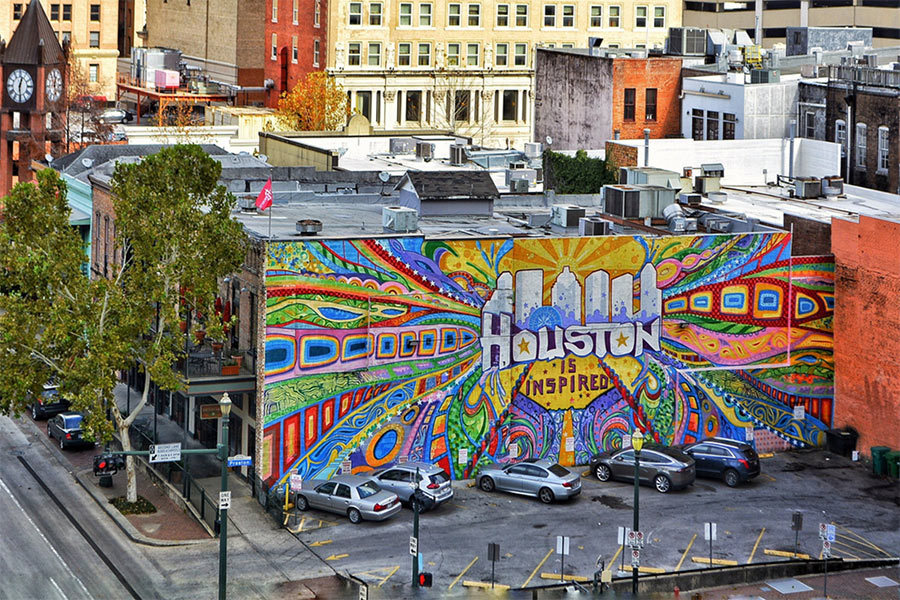
Headlines
Re: Meyerland Considers Risks of Rebuilding After 3 Floods in 3 Years
Remember, these are so-called “100-year floods”. Meaning we will get wiped out again in only 2 years! Just being silly..
Who knows where to find the best detailed satellite imagery of the flooding at it’s worst (energy corridor specifically)?
.
Saw a link on here from last week or so that I saved, but particularly interested in the energy corridor and a link with images for each day as things progressed.
.
Saw this was going to be incorporated on google earth somewhere, that correct?
The lawsuit on behalf of property owners along Buffalo Bayou was probably inevitable, especially since, even if you have flood insurance, the $250k cap on payouts won’t rebuild some of these very expensive homes. However, it sounds like they’re suing the wrong people.
It wasn’t HCFCD or CoH that decided to release water from Barker and Addicks. That decision was made by the Corps of Engineers. Unfortunately for the plaintiffs, it was almost certainly the right one. Water was coming out of those reservoirs one way or another. Even with the releases, the levels in the reservoirs continued to increase, and water eventually started coming out from the spillways. These spillways aren’t something that’s opened or closed; they exist to ensure that any uncontrolled outflows occur in a predictable way. Otherwise, there’s a risk of water flowing over the top of the earthen embankment, resulting in erosion and potential catastrophic failure.
So even if water has never been released intentionally, roughly the same amount of water eventually would have made its way over the spillways, which are lower in height than the rest of the dam, causing similar amounts of flooding.
I think an interesting solution would be to dig a large underground aqueduct with a TBM, similar to the water supply aqueduct that they recently finished for NYC. It would go all the way from the Barker and Addicks reservoirs and bypass all bayous, perhaps even taking some of their load along the way. It might actually be cheaper than buying out all the houses along Braes and Buffalo to deepen and widen them. And certainly a lot quicker with all the eminent domain legal fights that that would entail.
@commonsense
You idea sounds great, but likely won’t work …. there is a little something called ‘hydraulics’ that would make the project impractical. The NY water tunnel you cited uses a significant drop in elevation from the source point to move the water thru gravity while there is only a small drop in elevation from the dams to Galveston Bay. This means the water would have to be pumped to be effective by several YUGE pumps that could break down in a storm). If the water level in the bay is elevated from a storm surge/ flooding that would act as an additional impediment to water movement. Still, I applaud your suggestion …
Interesting that so many (thousands??) of displaced people are in parks? If they were displaced, it means they were paying a mortgage or paying rent. Thus, unless they also lost their jobs due to the flood, why wouldn’t they just go and rent somewhere else? Maybe the people in parks are people who were living in units but not paying rent (just a guess)?
.
We opened up 10 units right away to offer them to people that were flooded out. Later we were able to shuffle around and raise that number to 20 (we focused on making our ‘all bills paid’ units available first as they’re better for short term demand as people don’t have to screw around with connecting utilities). I think we had less than a dozen people take us up on that offer (yesterday we decided to make those units part of our normal rental pool again).
.
Anyway, I’m seeing more “for rent” signs now than I did before the storm. Likely unflooded housing trying to ‘take advantage’ of a pop in demand. So it’s not like there is no where to go and the good news is we don’t have 1000s of people that have no where they can go. While we’ve seen a small demand bump, I was surprised we didn’t see more. Now I now why. People are all in the parks.
.
(PS, we stay pretty full most of the time so we don’t have a need for more people. Thus no desire to post any company info. So I’m not complaining, just being a curious observer)
@ joel: It’s already on Google Earth for much of the Houston area, but datasets appear to be limited to a select few occasions when the European Space Agency did flyovers with their Earth-observing satellites. You’re also out of luck if there was cloud cover. You can also go directly to the space agency’s website and download massive whopping image files at random, seeing as how there’s no index posted, but that’s just being masochistic.
WR is probably correct that an undergound aqueduct probably won’t resolve the situation.
However, this storm has made it pretty clear that having both Barker AND Addicks draining 100% into Buffalo Bayou may not be ideal. An addition channel that would allow USACE to divert some of the Barker outflow to Brays Bayou would allow for some flexibility.
While Brays DID flood during Harvey, the water receded very quickly, with the water back within its banks and falling quickly while Buffalo Bayou was still rising.
i wonder how closely the flooding overlays with the 100 and 500 year layers of this map:
http://www.harriscountyfemt.org/
it’d be cool if they could update it with the boundaries of allison and harvey but i realize its really hard to know exactly how deep water got because of bottlenecks and pooling and stuff.
If you look at the animations in the NY Times article (“Houston’s Growth Created . . .”) it is pretty obvious what needs to happen on the west side of the city. There needs to be a second line of defense past where all the new development has gone in west of the reservoirs. We basically need Addicks/Barker 2.0 out in Katy. That would help take the pressure of Addicks and Baker and provide protection for all the new development out west. Of course, that will never happen because developers want that land and no one is willing to put up real money to do big game changing flood control projects.
joel,
https://storms.ngs.noaa.gov/storms/harvey/index.html
This link is to all flow aerial imagery post Harvey. Google Earth has only taken a subset of this imagery from 8/30. The top right of the map has an expandable menu that lists all the days images were flown.
Angostura,
What you are proposing was part of the original plan.
There was to be 2 more reservoirs similar to Addicks and Barker. One of them was to be White Oak Bayou (inside current Beltway 8). The other was to be on Brays south southeast of the current Barker Reservoir.
The original plan had channels connecting the reservoirs on the back side so when one is overwhelmed, it could off load water into another reservoir.
Funding and changing priorities after WWII killed these additional projects.
@HEBisbetterthanKroger it’s not a flood that happens once every hundred years, it’s a flood generated by a rainstorm that has a 1% chance of happening every year. Would you be so surprised if you flipped heads on a quarter 3x in a row?