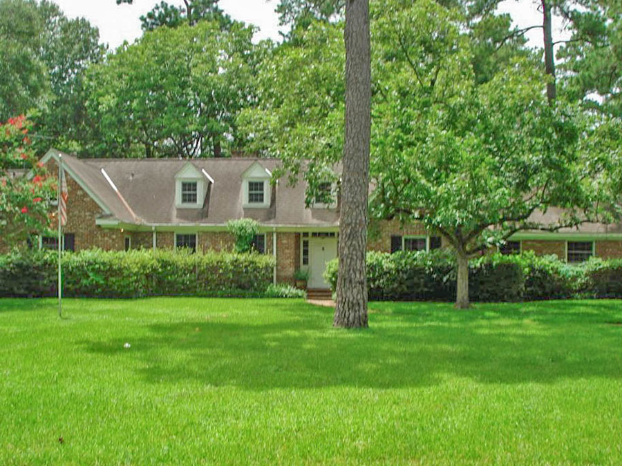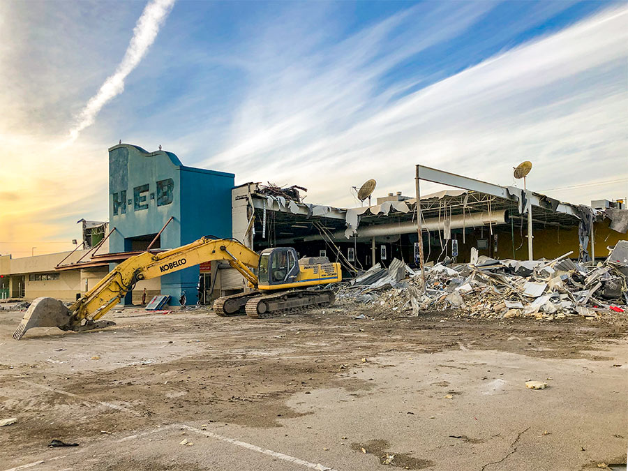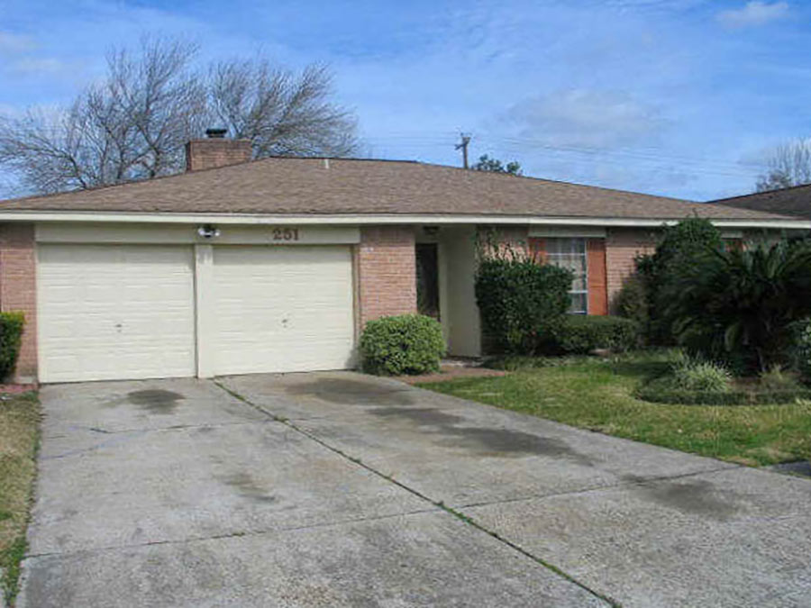
Swamplot’s Daily Demolition Report lists buildings that received City of Houston demolition permits the previous weekday.
An introduction to the demolition arts, in 14 Houston addresses:
***
Commercial Structures
- Sam’s Club Gasoline Station, 1615 South Loop West 77054 (2 structures)
Residences
- 2216 Arabelle St. 77007 (Cottage Grove; new construction by BB Residential Group; photos)
- 612 E. 24th St. 77008 (Sunset Heights; tires, building material, trash)
- 1519 Herkimer St. 77008 (Houston Heights; garage only; photos)
- 2607 Terry St. 77009 (G.C. Davis)
- 1733 Viking Dr. 77018 (Oak Forest)
- 2301 Woodhead St. 77019 (Plainview; photos)
- 3805 Mainer St. 77021 (South End Sunnyside)
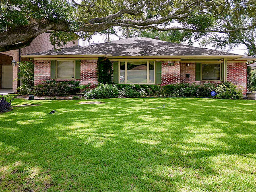
- 3715 Grennoch Ln. 77025 (Braes Heights; photos)
- 4114 Blue Bonnet Blvd. 77025 (Ayrshire; photos)
- 9311 Braeburn Glen Blvd. 77074 (Braeburn Glen)
- 14547 Oak Bend Dr. 77079 (Ashford Forest; photos)
- 14714 Carolcrest St. 77079 (Westchester; photos)
- 7214 Deep Forest Dr. 77088 (Inwood Forest; photos)
Photo of 3715 Grennoch Ln.: HAR


Re: 9311 Braeburn Glen Blvd.: I wonder why Google Street View doesn’t cover the area enclosed by S. Gessner, Southwest Fwy., and Braes Bayou. It contains several blocks of houses.
Can whole neighborhoods opt out of Google Street View?
@Big Tex, seems you’ve wondered that before. There were some interesting comments about the neighborhood attached to a previous Swamplot article.