
- Randalls Distribution Center in Northwest Houston Up To Be Sold or Leased [Houston Chronicle]
- Ellington Airport’s New Space-Traffic-Ready Air Traffic Control Tower Breaks Ground [HBJ]
- Barbara Jordan HS for Careers To Start Construction Soon on Replacement Campus [Houston Chronicle]
- Reliant Energy Unveils New Smart Home in the Heights [HBJ]
- Bolivar Peninsula’s Rollover Pass May Eventually Be Bought by Galveston County and Filled In [Houston Chronicle; previously on Swamplot]
- Texas Land Commissioner Urges Trump To Include Ike Dike in Infrastructure Bill [Houston Chronicle; previously on Swamplot]
- Asian Immigrants Outpacing Native-Born Americans in Home Ownership in Houston, Finds ULI Report [Realty News Report]
- Denver-Area Home Searches Popular in California, Chicago, and Houston, Finds Redfin [The Denver Post]
- City To Remove ‘Upsetting’ Flood Gauge Signs Along North Braeswood Blvd. in Meyerland and Robindell [Click2Houston]
- Use of Poison on Feral Hogs in Texas on Hold for Now [The Texas Tribune; previously on Swamplot]
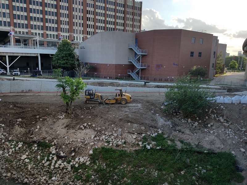
Photo of UH-Downtown hike & bike path extension: Marc Longoria via Swamplot Flickr Pool
Headlines


Those Meyerland residents are wimps. They should drive north and take a look at the Shepherd railway underpass just north of 34th Street. Those brand new flood gauge markers top out at 15 feet!
RE: flood gauges–These were placed in somewhat ridiculous places. Yes those areas of Braes Heights and Robindell flooded, but in order for the gauges to be useful (on a relatively flat street), you have to be able to see them. If those sections flood, your car would flood out before you ever get to the signs.
Goes in the category of be careful what you ask for because you just might get it.
@flooding article
their property values should come down. the incentive to keep building in some of these areas needs to be taken away.
@ gapa: Actually, a reminder of how flood-prone an area is should depress land values in an otherwise desirable area, make renovation of existing housing stock a less attractive option, and make new construction (which would entail the elevation of all enclosed living area being above FEMA’s base flood elevation) more viable — not less.