Swamplot’s Daily Demolition Report lists buildings that received City of Houston demolition permits the previous weekday.
Keep your eyes on the demolitions, and your feet on the ground.
***
Commercial Structures
- Apartments, 104 W. 12th St. 77008 (Houston Heights; building A)
Residences
- 202 Glenwood Dr. 77007 (Glen Cove; new construction by Unicus Developments; photos)
- 515 W. 25th St. 77008 (Houston Heights; photos)
- 519 W. 25th St. 77008 (Houston Heights; new construction by Titan Urban Development)
- 521 W. 25th St. 77008 (Houston Heights)
- 535 W. 25th St. 77008 (Houston Heights)
- 2015 Lou Ellen Ln. 77018 (Beinhorn)
- 1638 Viking Dr. 77018 (Oak Forest)
- 210 Garrotsville St. 77022 (Carrington Place; photos)
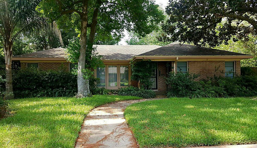
- 4002 Colquitt St. 77027 (Lynn Park; photos)
- 10218 Willowgrove Dr. 77035 (Willow Meadows)
- 14839 Bramblewood Dr. 77079 (Nottingham Forest)
- 311 Kickerillo Dr. 77079 (Nottingham Forest)
Photo of 4002 Colquitt St.: HAR


Willowgrove is a beautiful street, and sadly, I think we’re going to see several homes come down akin to what we saw & are seeing again in Meyerland (I believe there was another one yesterday). It’s predominately 1960s single-story ranch homes, many custom designed and some of them oversized vs. the rest of neighborhood, below a canopy of oaks that drape the street. It’s terribly sad that what it was before is just gone now. Willowgrove backs up to one of the feeder ravines that breached when the bayou did, and homes on both sides of it — Cliffwood and Williowgrove — took a massive hit compared to the surrounding streets that only had street flooding. The cap on flood insurance, if homeowners had it, wouldn’t cover the value of those homes. I’ve had neighbors ask me, and I genuinely do not know — are those concrete ravines/mini-bayous supposed to drain/connect to Willow Water Hole at some point? Was that already supposed to have happened? If so, what was the delay?