

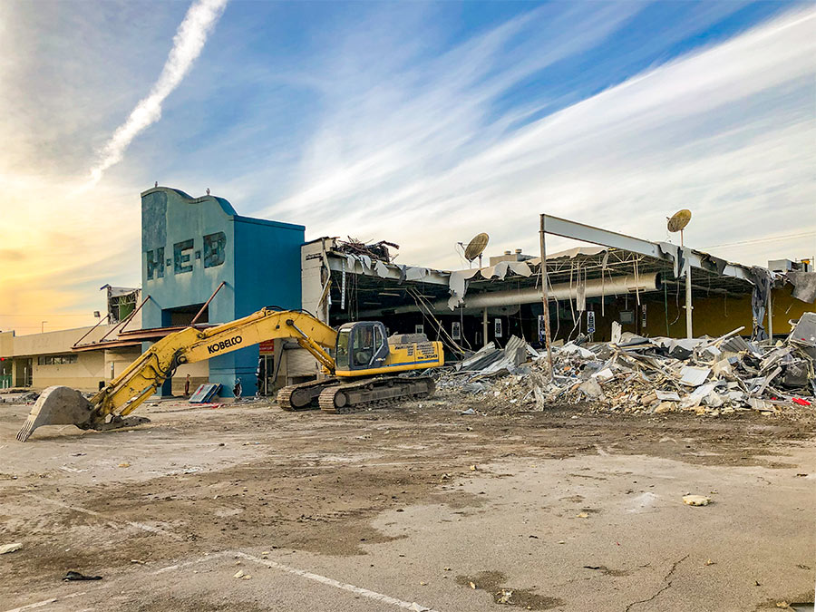
Swamplot’s Daily Demolition Report lists buildings that received City of Houston demolition permits the previous weekday.
Once we have reached the highest there is only one certain result.
***
Residences
- 2602 Berry St. 77004 (Smith Furniture Co.; photos)
- 3607 Live Oak St. 77004 (Smith Furniture Co.)
- 5611 Kansas St. 77007 (Cottage Grove; photos)
- 6510 Haskell St. 77007 (Camp Logan; photos)
- 1239 W. 23rd St. 77008 (Shady Acres; more info)
- 3306 Merrick St. 77025 (Southern Oaks)
- 3638 Tartan Ln. 77025 (Braes Heights; photos)
- 4063 Durness Way 77025 (Ayrshire)
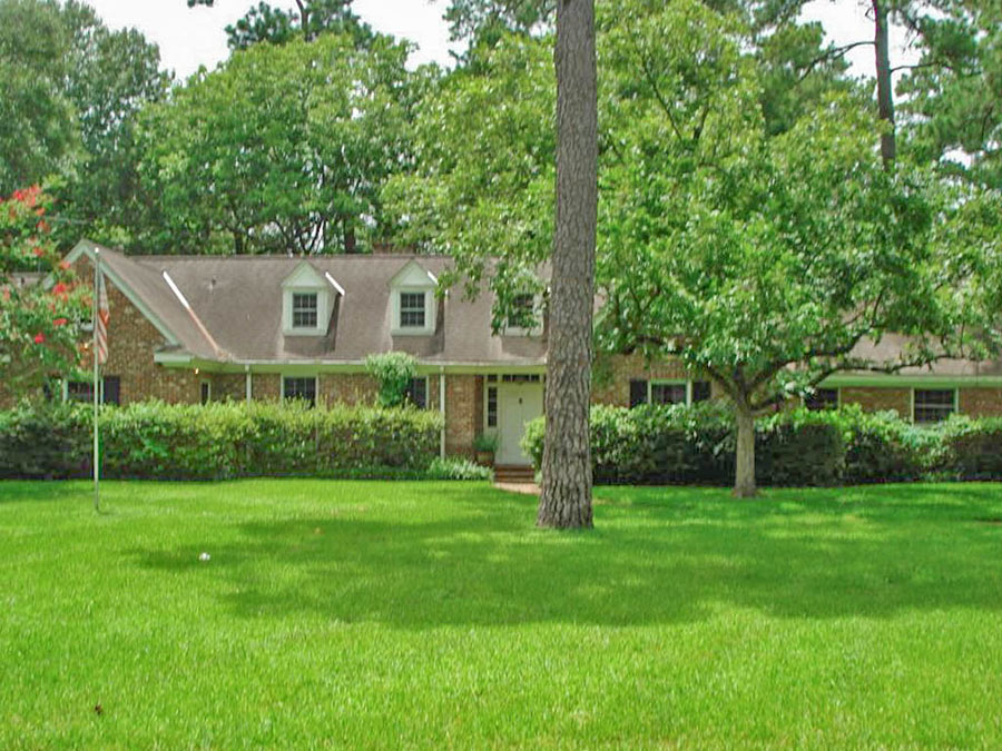
- 10042 Inwood Dr. 77042 (Briargrove Park; photos)
- 1410 Caywood Ln. 77055 (Shadyvilla Annex; photos)
- 1414 Caywood Ln. 77055 (Shadyvilla Annex; photos)
- 5666 Olympia Dr. 77056 (Briarcroft; photos)
- 13069 High Star Dr. 77072 (Crown Colony West; new construction by E.H.L. Construction and Painting)
- 4943 Yarwell Dr. 77096 (Meyerland; photos)
Photo of 10042 Inwood Dr.: HAR
Never understood the City of Houston thinking of street names (i.e. Inwood, Chevy Chase, T.C. Jester et al) that start and stop repeatedly. Were they ever one continuous ribbon of asphalt?
@limestone,
I think the hands down winner in that regard is Ella Lee Lane.
@ limestone
To understand Houston’s street map / naming process, one just needs to look back in time and see how Houston as a metropolis is really an agglomeration of housing developments. Check out some old Houston street maps from the 70’s and earlier. Those urban inner Loop neighborhoods that we all love, The Heights, River Oaks, Bellaire, West U all inside the Loop and urban today, but 70 + years ago…. well they were in the country, and even the Loop did not exist until the 60’s! So when you see all the disconnected streets, think different developments and developers with no zoning and minimal regulation (and a CoH Building Dept that could be bought off to look the other way) did what was best for their profit and sales exclusivity; not what makes the most sense transportation wise on a regional or super neighborhood basis.
The chaos of the Market at its best (or worst) depending on your political bent…
Just my $0.02 understanding…worth exactly what ya paid for it….
Keep’n the shady in Shady Acres ya’ll.