- A Roundup of Explanations for the Heights’ Strange Alcohol Boundaries [Off the Kuff]
- Bike Trail and Sidewalk Improvements That Would Help the Coming Grocers Supply Redevelopment [Off the Kuff; previously on Swamplot]
- Partially-Demoed Astrodome Included on List of ‘Important Buildings We Lost in 2013’ [Atlantic Cities]
- Milken Institute Ranks Houston Among Top 10 ‘Performing’ Cities in the Country, Behind Austin, Dallas [Culturemap]
- Added Security Cameras Can Also Beef Up Houston’s Traffic Monitoring [The Highwayman]
- George Observatory in Brazos Bend State Park Trying To Raise $80K for Repairs [KUHF]
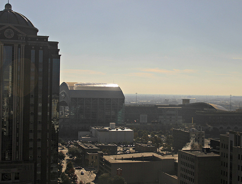
Photo of downtown: Russell Hancock via Swamplot Flickr Pool
Headlines


Mr Kuffner apparently did not even look closely at his own map. The Heights dry area follows mostly the original town limits of the Houston Heights. As such, the eastern border runs along the back lot lines of the homes on the eastern side of Oxford Street. At no point did the Heights extend to Studewood. Therefore, at no point were the properties on Studewood included in the dry area. If one were to look closely at the HCAD maps, one would see that both Onion Creek and Berryhill are on properties located east of the original Houston Heights border, and therefore legally wet without benefit of grandfathering.
Off the Kuff from 2013? Really? That is old news.
.
This is not about HEB only. It is about the potential of bungalows in an unrestricted neighborhood becoming package stores.
.
The real news is that a PAC, initially clandestinely funded with tens of thousands of dollars by HEB is railroading the Heights where there are only voluntary deed restrictions.
.
Unlike Norhill, Woodland Heights, river Oaks etc. not every home is deed restricted. The TABC representative at the Heights Association meeting on this topic two weeks ago was very clear that business interests are waiting like vultures to turn Heights bungalows into corner stores.
Hi Dry Heights Supporter! Looks like you’ve stumbled into a 2013 headlines post. Here’s our latest on the dry zone election: http://swamplot.com/tag/heights-dry-zone/
And here’s today’s headlines: http://swamplot.com/tag/topic-headlines/