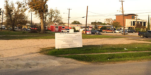
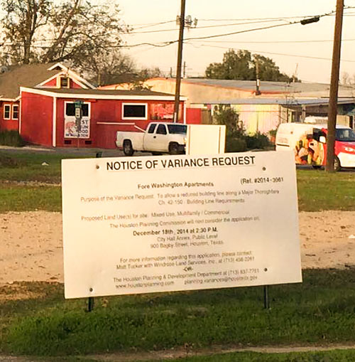
A reader sends in a pic of this variance request sign and vacant lot, possibly heralding the advent of another apartment complex in the Brunner Addition block bounded by N. Durham Dr. and Sandman St. and Center St. and Nett St., in the immediate environs of Soma Sushi, Bethel Church, Woodrow’s Heights and the Esperanza School.
Proposed land use? Mixed-use, multifamily and commercial.
***
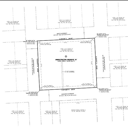
A subdivision plat the developers Washington Shepherd Partners Ltd. submitted to the city last month indicates that the proposed development would spell doom for that well-kept 1912 house with the two-story balcony at the corner of Center St. and Sandman St. that most recently served as a Nationwide Insurance office.
Washington Shepherd Partners is also listed as the owner of the house, whose official address is 4920 Center.
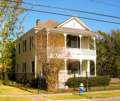
Photos: Swamplot inbox (lot and sign); Loopnet (4920 Center)


Is there a current version of the map that shows all of Houston’s multifamily developments (existing and under construction)?
@Rodrigo
http://devmap.io/cities/houston/developments
Luminare: Wow, that’s pretty cool. I tried to find a few “AH HA! WHAT ABOUT THIS ONE!?” And sure enough, they had it.
@Luminare I was actually thinking of the Chronicle map that showed up here a while back, but yours is an excellent find, thanks!
http://blog.chron.com/primeproperty/2014/08/multifamily-construction-projects-spread-over-houston-region/