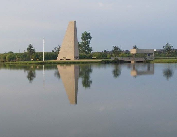
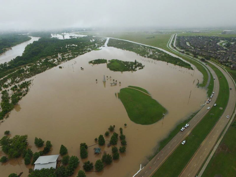
A fresh shot shows the veteran’s memorial at Sugar Land Memorial Park last weekend, which has been relatively high and dry since its brief closure following all that June flooding along the Brazos. The park is right alongside the river channel (southeast of the 59 crossing, where University and Commonwealth boulevards meet), and is designed to protect and serve the surrounding neighborhoods by storing excess floodwater in a pinch. The memorial is also designed to showcase tilt-up concrete construction methods (and was the focus of the Tilt Up Concrete Association’s annual tilt-up-related do-gooding project in 2013). Here’s an aerial view from early June from the Sugar Land Parks & Recreation folks, showing exactly why this year’s Memorial Day event at the park was cancelled (and why the neighboring Pawm Springs Dog Park, in the foreground, was closed):
***
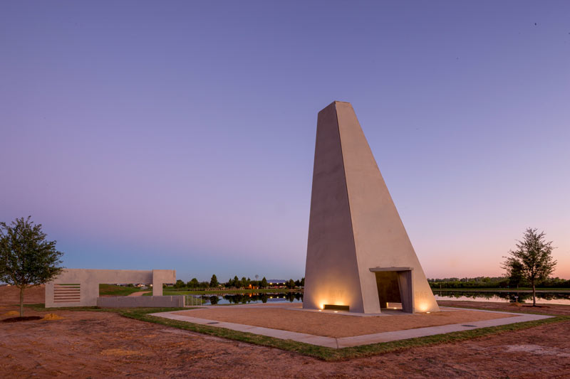
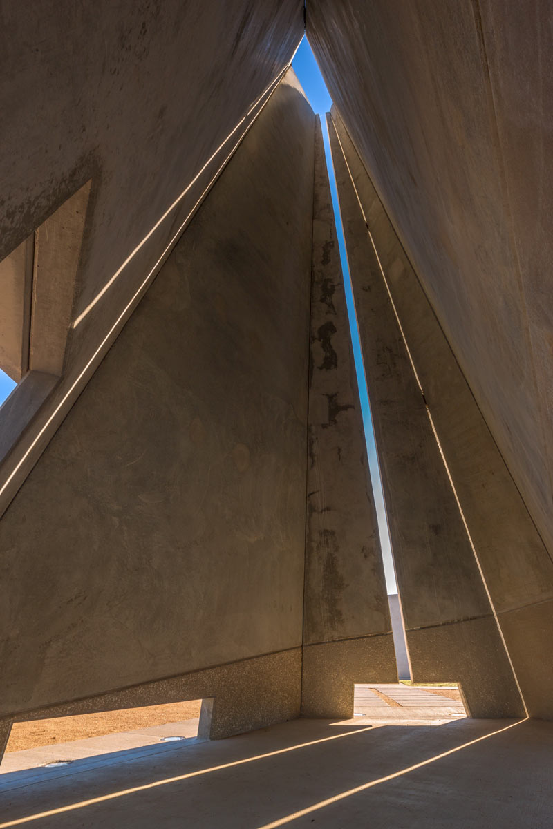
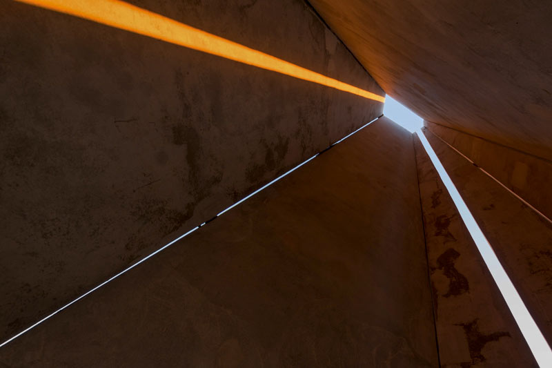
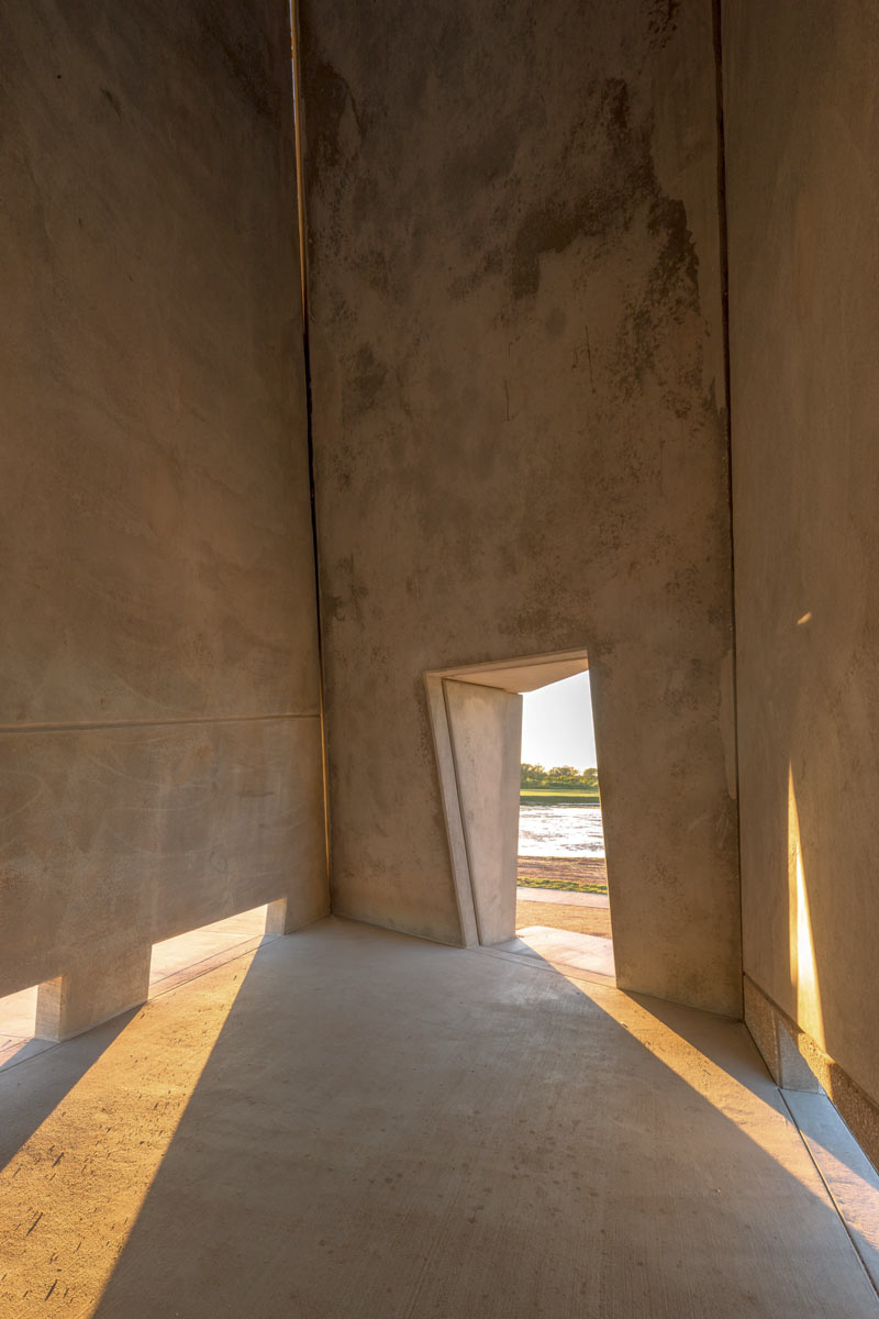
Below are some inside-and-outside closeups of the structure from 2013, shortly after the monument’s 29-day construction period wrapped up (but before the service branch labels were applied to the base of the tower):
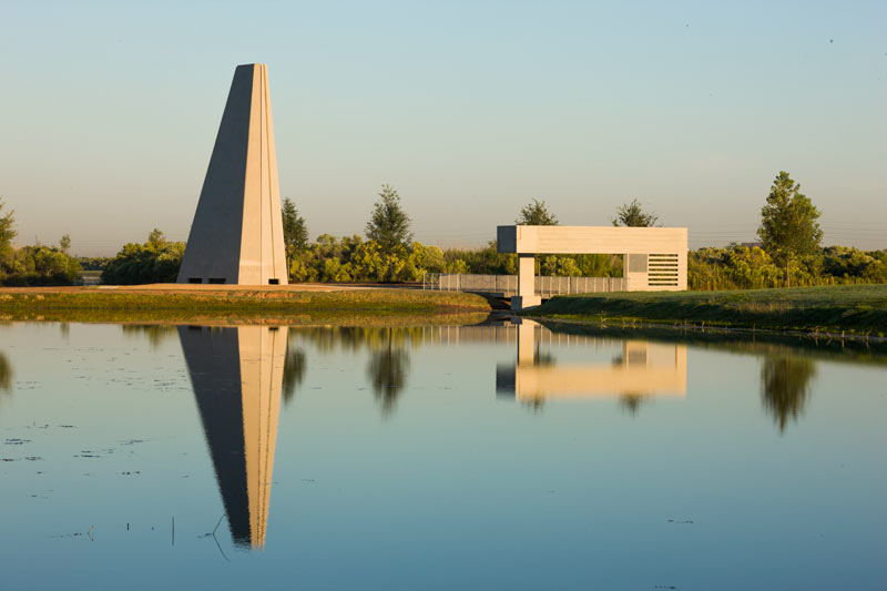
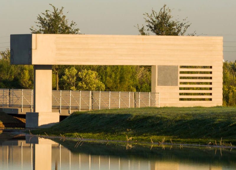
A rep from Powers Brown Architecture tells Swamplot that the entire monument was built using various tilt-up concrete techniques. A stripey cantilevered panel with a minimalist flag impression forms a gate at the start of the bridge to a small island:
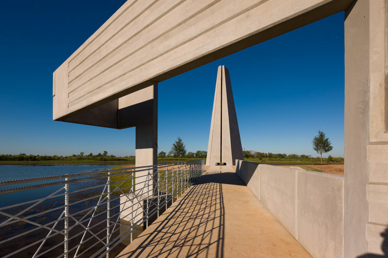
The tower has only one main entrance around the back, unless you’re willing to squeeze:
- Sugar Land Memorial Park and Brazos River Corridor [City of Sugar Land]
- Previously on Swamplot: What the Brazos River Looks Like When It Shatters All Previous Flood Gauge Records
Photos: Mitchell Albright (top), Sugar Land Parks & Recreation (second), Mark Johnson Photography (all others)



Ugh. A bunch of solid grey concrete baking in the Texas sun. Was this commissioned by an architect, or a structural engineer?
^ If you don’t like it, don’t look at it.