
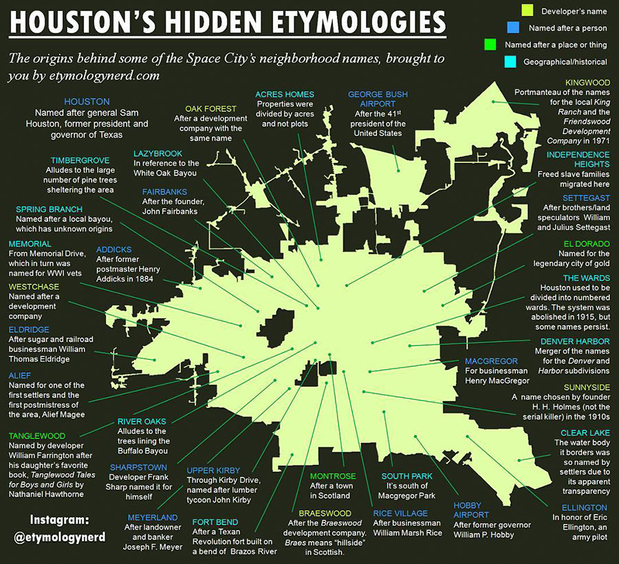
THE NEW ONLINE HOME OF HOUSTON’S MAP TOP TEN  Zip Code maps, super neighborhood maps, crime maps, city boundary maps — if there’s a city-produced map of Houston you’re looking for, you’ll find it at the planning dept.’s just-unveiled My City Maps and Apps page. The page is peppered with (mostly working) links to the city’s main GIS My City map viewer (newly updated with 2010 aerial photos) and other services such as the still-in-beta, still Internet-Explorer-only electronic Development Review Cycle system for tracking platting, variance, and development applications. [Planning Dept.]
that map is awesome. thanks for this post.
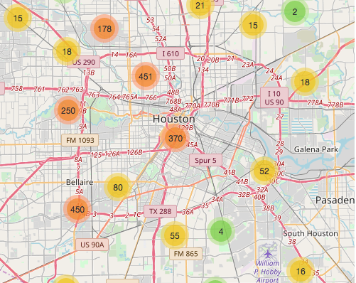
A nice collation of maps, and I look forward to more features being added. For example, the crime map would benefit from a ‘find my beat’ tool; as it is, determining your police beat is pretty laborious. Nevertheless, a valuable site.