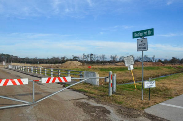
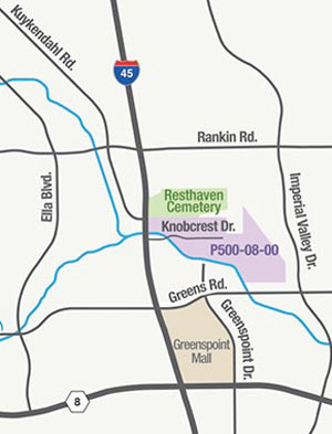
 Just south of the Earthman Resthaven Funeral Home and Cemetery on I-45 — and just north of Greens Bayou — the Harris County Flood Control District is in the process of digging up more than 2 million cubic feet of soil from the Glen Forest Stormwater Detention Basin-to-be. (That’s the purple shaded area in the map shown here, right upstream from the cluster of bayou-side apartment complexes that flooded on Tax Day and helped spur the pre-dawn conversion of Greenspoint Mall into an emergency shelter.) If the name “Glen Forest†strikes you as a bit mid-century-suburban-neighborhood, that’s because it is: the 160-acre site is named after the sixties-era Glen Forest subdivision formerly constructed on the property. The neighborhood was purchased and demolished as part of HCFCD’s buyout program in the early 2000’s, but the roadways and signs had mostly stuck around, at times serving as a convenient backdrop for unsanctioned motor sports, as demonstrated in the video below:
***
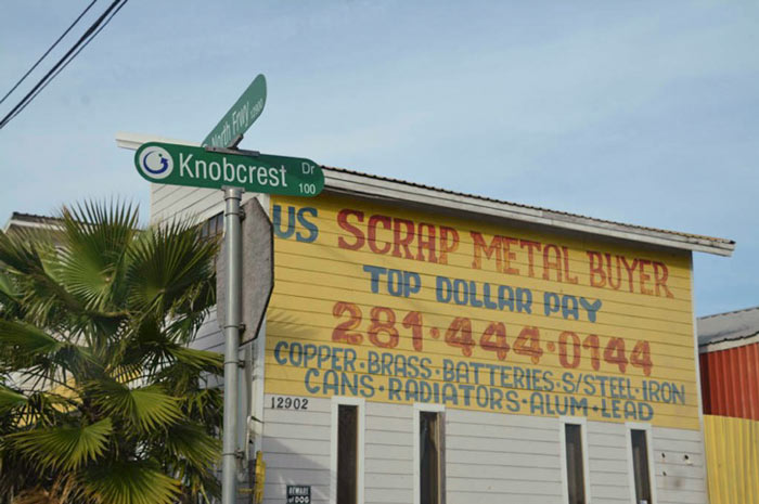
The 3 interconnecting basins planned for the Glen Forest project are designed to hold approximately 434.2 million gallons (that’s about 1,333 acre-feet) of rainwater and potential bayou overflow. You can still explore the neighborhood via Google Streetview in its post-demolition-pre-excavation state; anyone still hanging onto hope of moving to the vanished subdivision might look into buying out the currently for sale scrapyard that adjoins the dig site along the I-45 feeder:
- Glen Forest Stormwater Detention Basin [Harris County Flood Control District]
- 12902 North Fwy. [HAR]
- Previously on Swamplot:Â A Dry Interlude at Greenspoint Mall and Emergency Flood Shelter
Images: Sam Schon (photos), HCFCD (map of project area)
Video:Â MotorMavens



here is the block book if you wanna see the original layout:
http://books.tax.hctx.net/v083/AE1997_83-2_0042.jpg
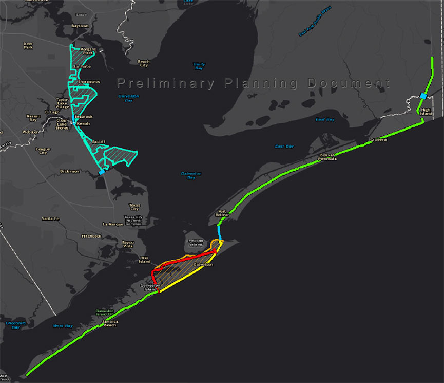
It will be nice when that segment of bike trail is actually part of a larger regional system:
http://greensbayou.org/greens-bayou-2/master-plan/