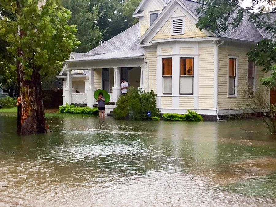
THE HEIGHTS HISTORIC DISTRICTS’ NEW HEIGHTS  The public comment period for the latest (and presumably final) draft of the design guidelines for the Houston Heights’s 3 historic districts ends today. The latest version of the 223-page document dates from August and covers a range of issues important to the historic districts, including proposed standards for construction and renovation — from roof pitches and “character defining elements” to maximum allowable foundation height (30 inches from natural elevation for new construction and additions) — but does not appear to include any mention of flooding. The guidelines, once adopted, would be used by the Houston Archeological and Historical Commission in its determinations of what proposed building projects would be allowed. [Planning & Development Dept.; previously on Swamplot] Photo of home at 8th St. and Arlington St., in Houston Heights Historic District South, during Harvey: Swamplot inbox


Weird. Everyone in this website says the heights has no flooding problem.
Builders filled in the natural ravine on 8th between Oxford and Beverly years ago. The water has no where to go. One block north and south of this area were nearly dry. Thanks City Inspectors! !