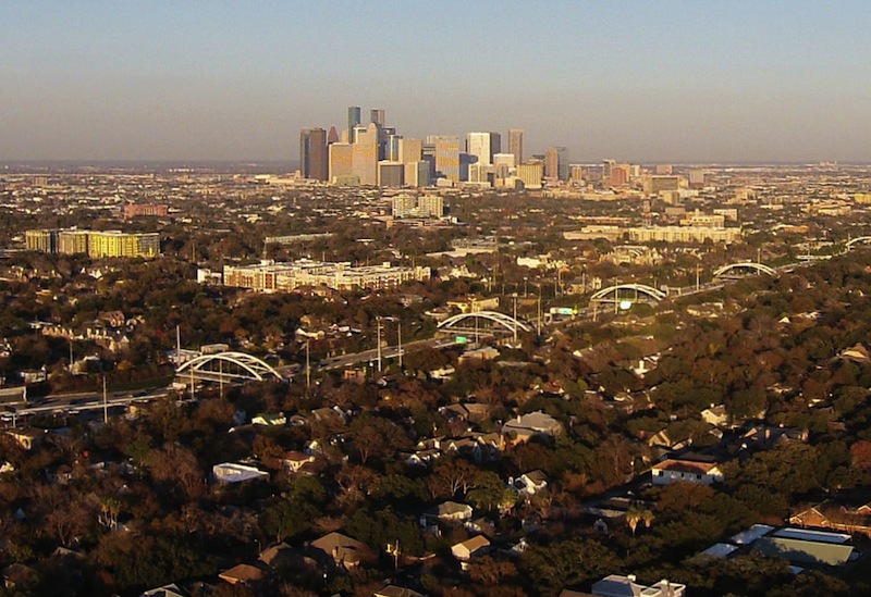
FINDING CHEAP HOMES AT THE 20 MILE COMMUTER SWEET SPOT  Data type Scott Davis tells Paul Takahashi this week that the average commute distance among Houstonians with a $265,000 home is 30.5 miles, according to his company’s real-estate database. The middle 2 thirds of that price group makes a slog of anywhere between 15 and 47 miles to get to work; Davis says some folks in that range drive as far as 60 miles. He does note to Takahashi, however, that the homes closer in — say, within 15 or 20 miles of a major employment hub — tend to sell much faster; HAR even rolled out a tool last year to allow searches for housing by commute time. [HBJ] Photo: Russell Hancock via Swamplot Flickr Pool


I live just outside of the loop on the Southwest side. Hard to explain to my fellow Houstonians where I live, unless they actually know where Willow Meadows is. I usually just say “sort of between Meyerland and Reliant”. Anyway, I’ve got a ten minute commute to the Galleria. If you go one mile north to the other side of the loop, you’re in Linkwood and everything is 2-3X what I paid for my house. Anyway, this is welcome news to me and confirms what I have been hoping, which is that being close to the Med Center means that the housing slump won’t have affected my area too much.
From looking at the posted map it appears the “sweet spot” is everywhere in the metro area, not including houseboats in Galveston Bay.
Good to know (sarcasm)
“the average commute distance among Houstonians with a $265,000 home is 30.5 miles”
.
Is that one-way or round-trip? That sounds a little crazy for a one-way distance. That’s farther from downtown than Dickinson, Baytown, Kingwood, Spring, Cypress, Katy, and Richmond. Rosharon, Mont Belvieu, and The Woodlands are just outside that distance. Tomball is a little farther because there’s not a freeway all the way in.
.
Presumably if one were inclined to buy a house in the suburbs, one would choose the suburb closest to one’s workplace. Are all of those people commuting from one far-flung suburb to a different one on the opposite side of downtown? Or are those actually RT distances? The original article doesn’t make that clear.
My commute is 14.5 miles to the office in the energy corridor, from “sort of between Meyerland and Reliant” as Alex would put it. Also, why is $250k the benchmark for “affordable”?
Like WR said, that map basically covers the whole metro area – so one would have to work hard to NOT be in the sweet spot. And, Google Master has a good point that we don’t know if the 30.5 miles is RT or one-way. One-way would be mindboggling while RT is an improvement (but not desirable in my book).
.
Like Alex, I live close to my work inside the loop: 12 minutes gets it done. No kids so no school ratings needed.
Alex I live in the same area I like it close to everything and low crime.
To be fair, the image Swamplot has chosen and the article are using two different metrics. The image from HAR is a 60 _minute_ commute (in low traffic even), while the article is discussing distances in miles. Commuting time and commuting distance are certainly correlated, but there’s enough variability that a distinction can be made.
Of course, “low traffic period” is irrelevant to the discussion. Show me this map for an 8:30 arrival time and 5 pm departure time related to downtown. Will look a bit different, don’t you think?
Hmmm . . . I’d like to know more about how they came up with these findings. Sure the housing sales data is probably drawn from realtor sources. But how does this company connect this with the homebuyers’ commute distances? Are they doing surveys? Are they gleaning workplace locations from mortgage applications? Are they using aggregated smartphone location tracking (a la Google Maps)? Do they send agents in black SUVs to tail us as we leave our neighborhoods each morning? Inquiring minds want to know.
Thanks for your questions. We used the Census Bureau’s household employment origin destination data to see the distance that people are actually driving to go to work. The pricing data is from our proprietary database of new home construction in Houston. I used $250k and less because that’s the hardest price point to build in Houston right now.
I’m not sure where this graphic came from, but our research shows it’s more like a donut between 15 and 45 miles, with the average distance travelled at 30.5 miles
Thanks for the feedback, folks! We’ve swapped out the image, since it seems to be creating confusion. (The idea was just to show the HAR tool, and to give a back-of-the-envelope idea of what a 60 mile commute might look like for context in the process — back to the drawing board!)
The first finding isn’t surprising at all. Workers change jobs all the time. Married couples may work totally across town from one another. Owning a house is very much unlike renting; you can’t just follow your source of income around the city when it changes (and actually, some sources of income may be precluded from the realm of reality as a result of homeownership). Meanwhile, if housing affordability is a major constraint AND you prioritize access to “good” schools AND you are buying a new home, then…indeed, a 30-minute commute is going to be hard to avoid.
.
The second finding is a bit vague. Does the Energy Corridor count as a major employment center? The Woodlands? The Ship Channel? The Houston market is really decentralized on the one hand, and yet parts of it are highly specialized.
Just like realtors have said for decades:
Drive until you qualify!
I live in Sharpstown and work at University of Houston DOWNTOWN. It is a roughly 16 mile drive, one-way, but takes me a heck of a long time to get there. UHD is located in the worst possible place to be located. But.. my commute is only 4 miles, if I take Metro in. :-)
Sharpstown, on the other hand, is a great locale – easy to get anywhere… except UHD. I can’t understand how ANYONE could be okay with a 30 mile commute – it’s exhausting enough to fight traffic on 59 for 16 miles. Twice that? No effing way…