
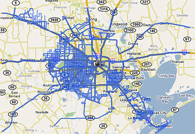
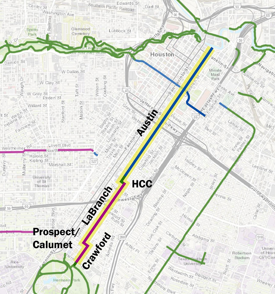
Last week Google rolled out a major update of its Street View feature, adding 13 new cities and a national park, and expanding its coverage in 6 cities . . . including Houston. The map above shows the extent of the Houston street-level photos now available through Google Maps.
Previously, street views from Google Maps were available only from major thoroughfares in the Houston area. Now, they are available on just about every street . . . within the areas marked in blue. South Houston, plus areas west of 290 and 288 outside the Loop are now mapped street by street. But most inside-the-loop neighborhoods are still left out.
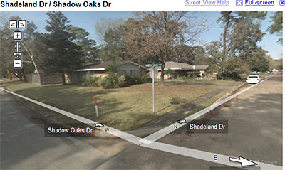
Strangely, this means Google Map addicts can stalk Cypress subdivisions virtually street by street, but views of Southampton are limited to sideways glances from Shepherd and Bissonnet.
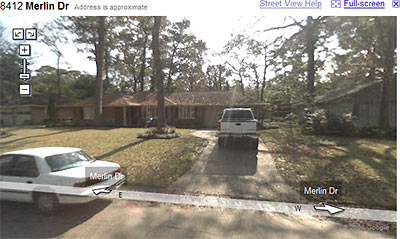
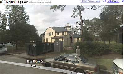
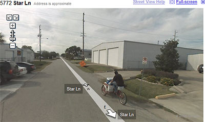
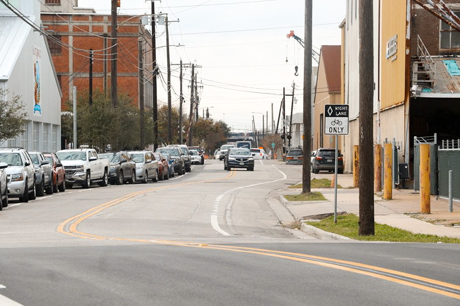
After the jump: a sampling of the new street-level views of westside neighborhoods!
***
- Street View: expanding our horizons [Google Lat Long Blog, via HAIF]
- Google’s Houston Street View: All Your Favorite Parking Lots and Freeways [Swamplot]
