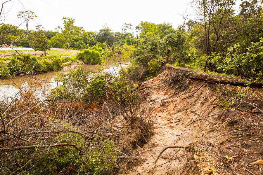
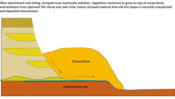
The folks fighting a longstanding battle to prevent the reconfiguration of a section of Buffalo Bayou fronting the southeast corner of Memorial Park and the River Oaks Country Club have posted a remarkable series of images showing how a section of the bayou’s bank at the Hogg Bird Sanctuary responded on its own over the course of 2 years to a soil collapse suffered during the 2015 Memorial Day flood. The geologists behind Save Buffalo Bayou claim that the promoters of the Harris County Flood Control District’s proposed $12 million Memorial Park Demonstration Project they’re trying to stop have mistaken a natural bayou-bank process called vertical slumping (or sloughing) for erosion, and that attempting to stabilize the bayou banks to fix the supposed erosion will leave the area “a wasteland of denuded and weakened banks.”
But you don’t have to buy or even follow the riverine logic the organization steps through in a lengthy article posted to its website earlier this week to appreciate one of the examples of waterway-bank adaptation exhibited there. The first image (at top) shows the immediate aftermath of the Memorial Day storm or 2 years ago on the high bluff facing the bayou at the Hogg Bird Sanctuary in Memorial Park, which stands at the downstream end of the proposed project area. According to the organization, an HCFCD consultant claims that this is one of 4 spots within the bayou area that suffers from severe lateral erosion. But to Save Buffalo Bayou, this isn’t erosion; it’s just a slump, which is what bayous do naturally, and which on their own create the distinctive bluffs on the bayou’s banks. There’s no way to fix a slump, the organization’s geologists say — if left alone it’ll restore itself.
Here’s their photo evidence. The second photo, also from June 2015, shows the slumping — and downed trees:
***
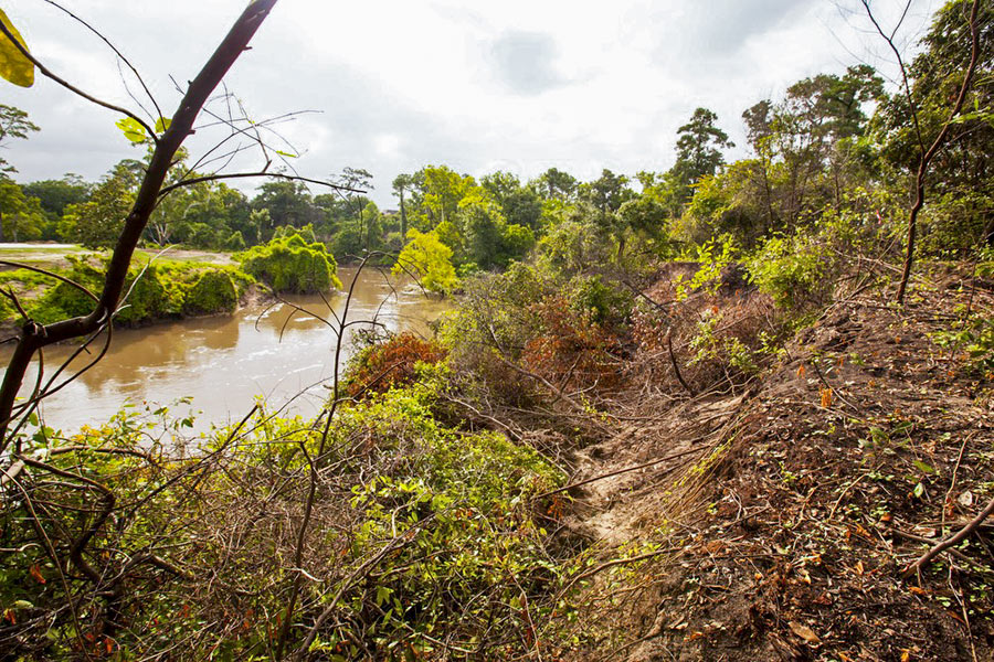
The third photo is from May 9, 2016, after the April 18 Tax Day storm of that year, which resulted in water releases from the Addicks and Barker-Cypress dams upstream:
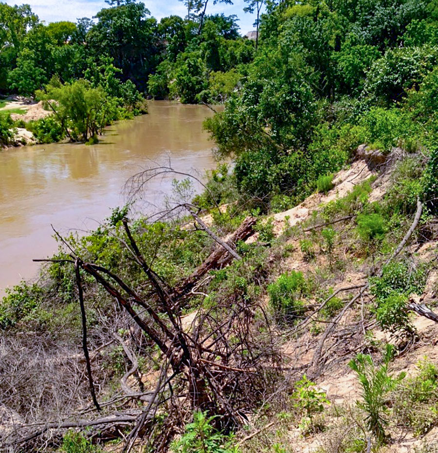
But in this photo of the same bank taken 3 months later, in August of 2016, you can see the foliage has already begun taking over the soil bared by the slump. Vegetation that slid down with the soil to the foot of the bank has by now re-rooted — and begun collecting sediment from the bayou to rebuild the bank:
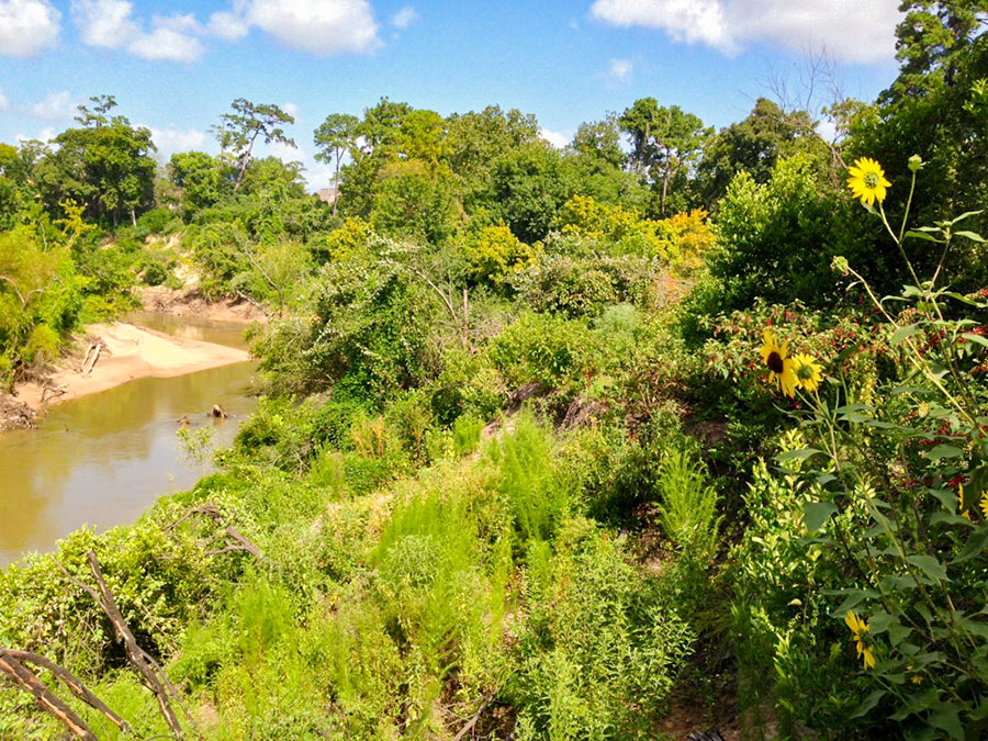
There’s more growth on the same south-facing bank 9 months later, in late April, 2017:
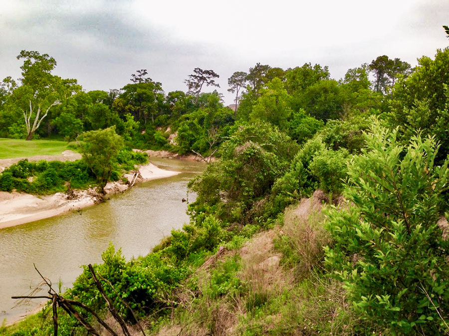
In the most recent photo of the Hogg Bird Sanctuary bluff, taken mid-July of this year, any evidence of the collapse appears to have been almost entirely greened over:
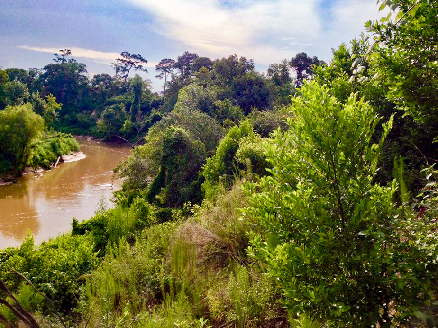
- $12 Million Bayou Project Based on a Mistake [Save Buffalo Bayou]
- Previously on Swamplot:Â Stop Trying To Fix Buffalo Bayou, Says Save Buffalo Bayou;Â The Latest Twists and Turns in the Flood Control District’s Plan to Reshape Buffalo Bayou



… uh and then the “slump block” is eroded in the next big storm which allows more of the bank to become a “slump block” thus the bayou gets wider and wider. I am sure River Oaks golf course and all those multi-million dollar estates just upstream will be happy to contribute their property to more and more greened over “slump block” over time.
I’m no geologist, but if bayous always rebuilt themselves exactly where they were, sediment would never be deposited over vast, flat alluvial plains and there would be no Houston.
Why should taxpayer dollars be spent to save a private exclusive country club’s golf course?
Ah, there’s nothing like a conversation about good old fluvial geomorphology (been wanting to use that in a sentence for a really, really long time).
@superdave FTW
I am a geologist. It’s embarrassing that the city with the largest population of geologists in the world doesn’t know how a river works. Yes, the cut bank side naturally erodes, but the opposite side (the point bar) grows by sediment deposition. Thus the river meanders, but the water channel gets no wider. Rivers, like climate and barrier islands, are very dynamic on geologic timescales. It’s people who can’t think beyond human timescales who want to “fix” these things.
We just need to scrape away ALL of the pesky soil and trees and live on top of the impermeable clay!
In a flat landscape like ours, a river moves like a snake in an advancing S shape. We just need to quit building in that entire swath.
Left alone, the river bottom will stay relatively level through flooding, and the river takes down trees and brush that do grow up. People have always farmed in these areas, though had to always adapt.
Fluvial Geomorphology would be a good name for a band. Seriously, someone didn’t read the article about the vegetation rooting in the slumped area and collecting sediment.