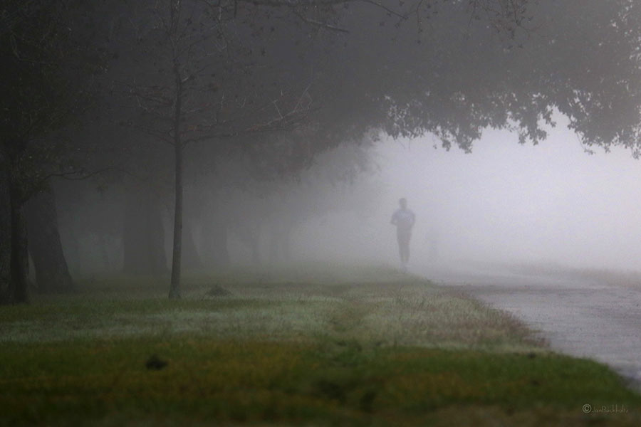
WHAT’S BLOCKING THE BRAYS BAYOU TRAIL  That sign posted just west of Chimney Rock declaring that the Brays Bayou trail “connects 31 miles of uninterrupted, off-street, multi-use trails and greenspace from the Ship Channel to George Bush Park and the Addicks-Barker Reservoir” is more aspirational than accurate at this point, a Houston Parks Board official admits to David Olinger. (“It got ahead of itself, let’s put it that way.”) Olinger set out to walk the supposed marathon-distance-plus continuum, but found it blocked and interrupted by construction zones, an unidentified fork to a neighboring bayou, and dead ends, including some fronting 7-miles-worth of land adjacent to Arthur Storey Park the parks board is still in the process of acquiring: “I tried walking west from Kirkwood and waded into knee-high weeds. I tried walking north on Kirkwood and found no trail. I drove up and down Kirkwood, searching in vain for Arthur Storey Park. Finally I consulted a map — and found the park about 2.5 miles northeast from the westbound Kirkwood dead end.” The Bayou Greenways trail system is expected to connect that length of Brays Bayou by 2020. [Houston Chronicle; previously on Swamplot] Photo of Brays Bayou trail: Jan Buchholtz


“…. multi-use trails and greenspace …”
You people need to read legalese. The trails don’t have to be present for that statement to be true.
Same goes for most politician statements which have lots of outs and “alternative” truths.
oxford comma aside, the answer was that we will have uninterrupted trails by 2020, which is a good thing.
.
they’re pretty darn close to being done on the east side of town.
Author obviously confuses Keegans Bayou trail with Brays Bayou Greenway trail.