

Each of these purple specks — or black holes, depending on your perspective — represents a demolition permit issued by the city in 2012. The planning and development department has posted this and a few other maps online with an overview of demographic data.
After the jump, you can see in more detail the demos inside the Loop from 2012 and 2011, juxtaposed with other maps showing the permits for single- and multi-family construction. You know. For balance:
***

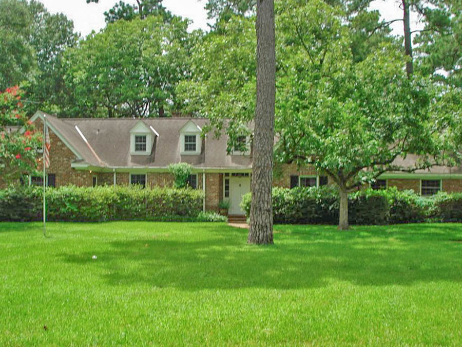
That’s the demo inside the Loop in 2012. Below, for comparison, is 2011:

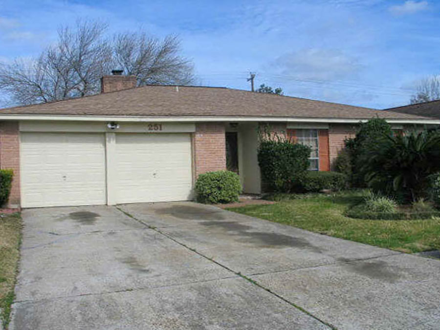
Below: Permits issued in 2012 for single-family construction:

Below: Permits for multi-family construction:

- Demographic Data [City of Houston]
- Previously on Swamplot: Daily Demolition Reports

looks like we need to demo some unincorporated areas sitting in the middle of the city while we’re at it
Ugh…I can see my old street in Oak Forest. Sad.
We’re all aware of what’s been going down in Oak Forest, but it sure stands out when you’ve got graphics.
Garden Oaks/Oak Forest looks like it is taking repeated drone missile attacks. Since most of the Heights neighborhoods are protected historic districts now, I assume these are partial demo permits for garages/additions, etc.?
Those aren’t unincorporated. There are about 8 enclave cities inside the beltway, so that’s what you are seeing.
Spencer Howard:
No, you assume wrong. Most GO and OF action is in the teardown/rebuild end of the market. One day a few weeks ago there were 12 demos listed in OF – for that day. Yikes!
Bellaire and the Memorial villages aren’t unincorporated, just the opposite.
Oh, forgot to mention West University.
Most of the Heights is not Historic, as the area south of 11th st. and north of 20th are free game (with the exception of Woodland Heights/Norhill). Lots and lots of historic homes taken down and replaced with the lovely Garden District-like new Southern Townhomes. Just look at 23rd st at Rutland to get an idea.
RE: Al – My assumption was for the Heights area neighborhoods (Houston Heights, Woodland Heights, Norhill, etc.), not Garden Oaks/Oak Forest which is not historic or worth protecting.
Spencer:
Oh, sorry. Did not realize you were a Heights snob, or I would not have deigned to reply!
(Shuffles back to the wide open spaces of Garden Oaks, the “village within the city”.)
Haha, no, not a Heights snob. Big supporter of the Walmart on Yale. Garden Oaks is a lovely neighborhood in architectural transition :)
Speak for yourself Spencer.
@ Spencer: I quite liked the charm of Oak Forest before it went upmarket, and Garden Oaks even more. The Heights, not as much.
That’s speaking from an aesthetic viewpoint; Oak Forest was and will always be an example of shitty urban planning by comparison with the Heights.
If just one long residential street in the core of each mid-century ticky-tacky neighborhood had been protected, and the owners there given a sum of money for what amounted to a taking from their bundle of property rights, then that would’ve been comforting to me. Beyond that, bring on the wrecking ball; Houston needs that tax base.
Much like those satellite photos that clearly show the demarcation between North and South Korea, the demo permits make it easy to trace the path of TC Jester, as apparently all the demo/new builds are along the left bank of White Oak Bayou.