
")
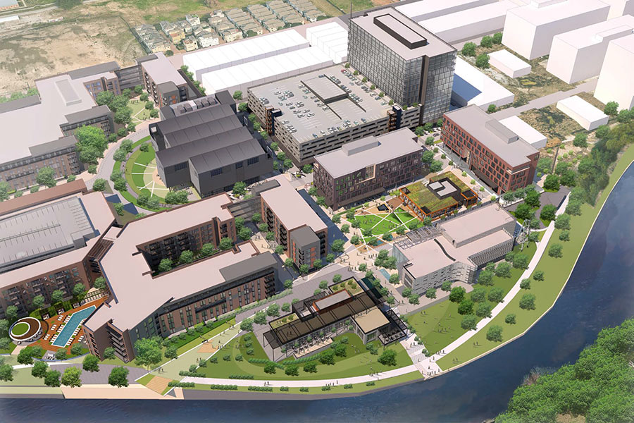
") The Canadian developers behind an on-again-off-again 84-unit condo project planned for a 1.4-acre wooded property at the end of E. 5th St. adjacent to the Heights hike-and-bike trail have withdrawn their variance request to build a private street for a new Emes Place subdivision. But neighborhood opponents of the project, called Viewpoint at the Heights, may like Group LSR’s newest plans less than the ones they had been fighting against. The Planning Department’s Suzy Hartgrove tells the Leader’s Charlotte Aguilar that the developers of the Serento and Piedmont at River Oaks now plan to construct a public street over a bridge and build their own cul de sac. The latest plans make no mention of the size of condo the company is proposing. And if the new design meets city standards, the city’s planning commission wouldn’t have an opportunity to require any site changes on the project when it comes up for approval this Thursday.
The Canadian developers behind an on-again-off-again 84-unit condo project planned for a 1.4-acre wooded property at the end of E. 5th St. adjacent to the Heights hike-and-bike trail have withdrawn their variance request to build a private street for a new Emes Place subdivision. But neighborhood opponents of the project, called Viewpoint at the Heights, may like Group LSR’s newest plans less than the ones they had been fighting against. The Planning Department’s Suzy Hartgrove tells the Leader’s Charlotte Aguilar that the developers of the Serento and Piedmont at River Oaks now plan to construct a public street over a bridge and build their own cul de sac. The latest plans make no mention of the size of condo the company is proposing. And if the new design meets city standards, the city’s planning commission wouldn’t have an opportunity to require any site changes on the project when it comes up for approval this Thursday.
- Developer maneuver may make White Oak Bayou-Heights bike trail condo project tough to control [The Leader]
- Revived condo project upsets Heights residents [Houston Chronicle]
- Viewpoint at the Heights [InnerLoopCondos.com]
- Previously on Swamplot: Viewpoint at the Heights: Back from the Dead?
Photos: Swamplot inbox (site and trail); Charlotte Aguilar/The Leader (variance sign)

Sounds like things work out. No variance, no problem. Open shut case.
Fight it tooth and nail because this project is not needed or wanted and is basically fraud…….the fraud is adding to the inventory of condos Houston never bought and never needed….wake up drones, Houston still has raw space in The Huntington and never sold condos in almost ever so called needed condo building in this town!!!!!!
You have no right to fight it any longer. If they are not asking for a variance then they are within their rights to build it….Because you opposed a reasonable building, I hope they build a 200 unit condo that towers 20 stories, instead of five. Its exactly what you NIMBYS deserve!
Fight what? a legal project withing the building rules, built by private money on private land? Obviously the developer and the financing bank deemed this project necessary and prudent through their due diligence.
Some of the most vocal opponents to this project have benefited from Houston’s lack of zoning. If we had zoning, there would be another avenue to control projects like this. This has NIMBY written all over it.
Personally, I think this is an appropriate project for this site: great views and easy access to hike and bike trail that connects to shopping and entertainment. Besides, the Heights could use some increased density.
Testy a bit, Charles?
“You oppose turning green space in your neighborhood into another generic condo development, so I hope they build the biggest, most ugly condos in the world!”
Pretty sad this is the highest level of discourse that many seem to be capable of these days.
‘Construct a public street over a bridge’ means what exactly? Looking at the backup in the agenda package, it is not clear what has changed, access-wise. The map therein shows ‘future ROW’ that happens to be on private property.
My understanding was that the reason they were asking for the private street variance was because a public street bridge would have required sidewalks and they do not own enough width to put in sidewalks on the bridge. Unless they have managed to do a deal to buy more of the land on either side to fit the sidewalks in I’m not sure what could have changed. Unless they have moved the access back to the North side again of course.
This, I think, is the area in question:
https://maps.google.com/maps?client=ubuntu&channel=fs&q=E.+5th+St&oe=utf-8&ie=UTF-8&ei=GuibUNGoFs6N0QH6z4HoDg&ved=0CAgQ_AUoAA
Probably the condo site is the large wooded segment adjacent to the old RR track that’s now the bike trail. Developer probably wants to extend 5th over a gully to provide access to the site.
The other similarly-situated streets to the south (4 1/2 and 4th) have giant apartment buildings at the end of them (or taking up the whole block). 5th has more surviving old single-family stock than the rest, but not that much. Maybe 5 units?
The other option, it seems, is Fraiser, but that means (1) an new intersection with the trail and (2) much more traffic in the area as it creates a long indirect route to I-10. From 5th you get almost immediately to the highway.
Sorry, guys, 5th makes more sense for traffic, and there’s clearly demand and precedent for dense housing in the area.
I do see one other option on the map: There’s plenty of room along the bayou for a road directly to that site from the Katy feeder. That would work out well for everyone except those apartments that now look out over lawn. But I bet there’s some legal entanglement with that land.
I wonder if the developer has looked into the vacant lot on the corner of Studewood and the I-10 feeder road. It’s been for sale for years, I doubt anyone would fight a condo project there, and besides the freeway, has unobstructed views of downtown.
Building anything new that close to the bayou is just plain stupid. Does anyone remember TS Allison?
Don’t forget the floods prior to Allison that created rivers out of that section of I-10.
The specific years escape me right now but I had several co-workers in the 90s who lost their automobiles and very nearly their lives when the water came up so quickly. Folks were just caught off guard.
So sad to see more and more honeycombs go up!
I am missing the green space and trees. Pretty soon Houston will look just like the old nasty citys in the North that built without thought.
Very sad and I dont even live near these poor people. But I can sympathize.
I hope it gets built. It’s preferable to apartments. We are considering selling our 1929 in the Heights and buying if it has our requirements.