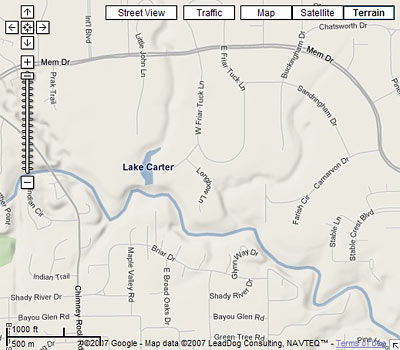
Another week, another round of updates to Google Maps. Sure, there are some fun new capabilities — groups of people can now work together to add items to a single personalized map; thumbnail preview photos of Street View panoramas will now appear in the pop-up balloons for many commercial addresses on major streets. But for Houston, the most exciting new feature is the new Terrain view, which now reveals even to casual internet visitors the exciting topography that makes our local landscape so . . . Houston-like.
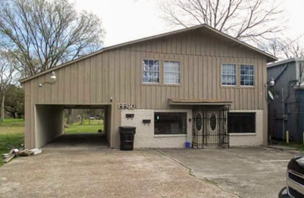
Imagine you’re a Houston newcomer scouting hilltop locations to site your dreamhouse, and want to see what views you might get from a promontory in say, Highland Heights. Simply type in a Highland Heights address into Google Maps — try 1042 Lucky St. 77088 from today’s Daily Demolition Report, for example. Sure, aerial views have been available for a while now, but what if you want to get an idea of the views from this location? Will there be a charming vista to the Cemetery Beautiful Cemetery a few blocks to the north?
With the new Terrain view, Google lets you see: At the top right of every Google map there’s now a button labeled “Terrain.” Click that and the map you’re viewing will show all the hills and level changes in the area — all of them!
Having trouble seeing those elevation differences? Hmmm . . . well, at least it makes those bayous and gullies stand out!


