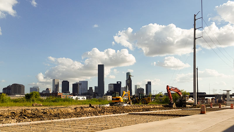
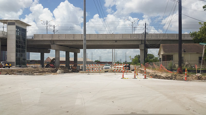
With a row of Downtown towers looking on from the south, 2 lanes are being added to Burnett St., along the northern boundary of the 50-acre site formerly known as the Hardy Rail Yards. The thickening runs between N. Main St. and Hardy St. At the western end of that stretch, next to the Burnett Transit Center stop on the Red Line’s northern extension, a new baby intersection has been born at Freeman St. just in front of the rail overpass, just up a ways from the N. Main tunnel:
***
- Previously on Swamplot: Five of Old Hardy Rail Yard’s 50 Acres To Become a Mostly Affordable Near Northside Apartment Complex
Photos: Swamplot inbox
Grid Growth


Still no word on when they’ll reopen N. Main?
I don’t understand the Burnett Transit Center (the actual bus transit center currently under construction at this site, not the MetroRail station named after it). It’s quite large, but when Metro’s new bus network goes into effect only two buses will stop there (three, if you think of the new Hardy-Kelley and Hardy-Ley routes as distinct).
Off-topic, but I’m a ilttle disappointed to discover the new bus network will discontinue the route down Airline/ Studewood/Studemont/Montrose to TMC. On earlier maps of the proposed network, it appeared as the 56. Now it’s gone. I suppose the idea is to encourage commuters to take one of the east-west routes to the Red Line of the MetroRail, or to the new Heights or Shepherd buses.
@Michael
This map still has it there. It overlaps a bit with the 298 but if you just select 56 it’s there.
http://www.ridemetroapp.org/ismapbasic/#
@Michael metro decided to keep the 56 Airline/Montrose TMC after public input instead of ending the 56 @ Northline Tc and then creating an extend 34 Montrose with better frequency! But your also right about the size of Burnett all the money spent on a huge TC but only the 3 Langley (1 hr freq), 79 Irvington/Little York (1 hr freq), and 51/52 Hardy-LBJ & Hardy-Ley (15 min freq) combo will serve it
@HeyHeyHouston and @Adoile, you’re right! The route now appears on the map again. What a relief. Metro hasn’t put any signage on the existing stops on Studewood to indicate the fate of the route, so I was super confused. Thanks