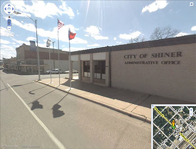
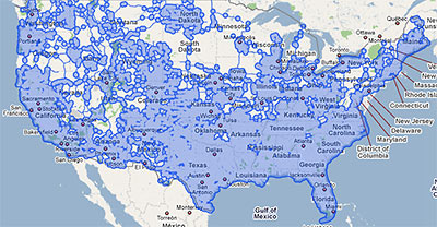
Earlier this week, Google greatly expanded the areas covered by its Street View feature. The expansion means street views in areas way outside of Houston and its surrounding areas are now viewable from within Google Maps. In fact, Google’s new coverage map indicates that pretty much all of Texas (or at least areas near its major roads and highways) now has navigable street images available, excepting a few patches here and there and a couple of wide swaths of land near El Paso.
What about the rest of the country? Oh, there’s some expanded coverage out there too:
***
- Street View: A year in review, and what’s new [Google Blog, via Geek Estate]
- Double the coverage, double the fun [LatLong]
- Previously in Swamplot: Google Now Looking Inside the Loop and Up Your Street


My folks’ house in the outer suburbs of a mid-Atlantic state is still not in street view. The Google car appears to have sped right on down the highway past the entrance to their tiny development.
Like GoogleMaster’s folks, my street is not on Google’s car-dar.
And I noticed (while doing roof reconnaissance to locate this weeks’ NGG, at which I failed because I was sure it was along Buffalo Bayou) quite a number of enclaves & cul-de-sacs are also not on ‘street-view.’
Can a neighborhood somehow opt out of Googlization? Does Google progress based on population? Anybody know?
I LOVE this tool! But, but I also love being out of view…