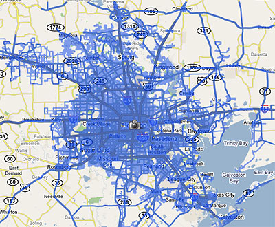
When the Street View feature was first introduced to Houston Google Maps about a year ago, it allowed viewers to follow street-level photos . . . mostly along major thoroughfares. In March, Google added street-level views of residential neighborhoods within a huge swath of West Houston and Pasadena . . . but the update still left out most areas inside the Loop.
This week, a tipster informs us, Google has expanded Street View again, updating its database with photos taken from almost every street inside the Loop . . . and this time including most areas inside the Beltway and beyond as well. The map above shows the extent of the new coverage.
Smile! Photos of your home are likely now on the internet . . . unless you live in a few special areas in town . . .
***
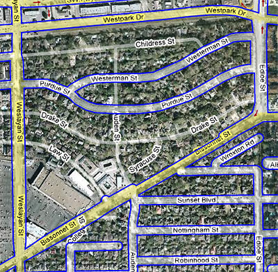
What streets have been left out of Street View? Well, how about this chunk of Sunset Terrace in West U?
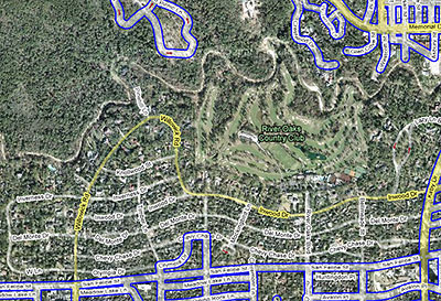
Or the northern reaches of River Oaks?
But why fret about what’s missing, when there’s so much to ogle Google?
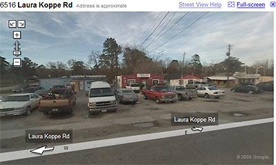
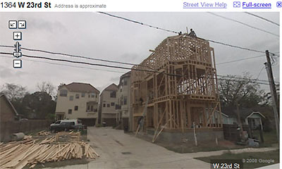
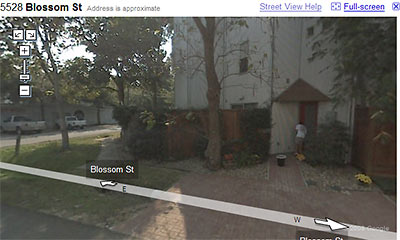
Can you find any more interesting shots around town? Locate other missing neighborhoods? Want to show us pics of your home? Add your links in the comments!
- More streets in more places [Google Lat Long Blog, via Swamplot Inbox]
- Google Street View: In Your Neighborhood, Out of The Loop [Swamplot]
- Google’s Houston Street View: All Your Favorite Parking Lots and Freeways [Swamplot]


sweet! thanks for the tip!
A chunk of Cottage Grove is out too. See the link below.
http://maps.google.com/maps?hl=en&ie=UTF8&ll=29.778961,-95.421174&spn=0.011193,0.027122&z=16&layer=c&cbll=29.782211,-95.428555
My street is mysteriously unmapped — and that’s the way I like it! :D
Hey, there’s my house! I’m famous!
The Google Van came down my street last winter. I was surprised to see my modest Katy shitbox when I looked. Wish I had known! I would have been standing in the driveway waving.
My neighborhood is comprehensively missed. But there is about 1/4 of a block, at which point I imagine our private security service turned them away. Wonder if the property values will increase as a result?