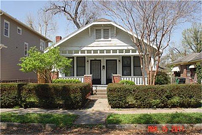
Let the comforting sounds of destruction ring and thump through the streets. Or at least around here:

Let the comforting sounds of destruction ring and thump through the streets. Or at least around here:
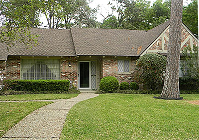
Just exports? No imports? These 7 structures leave their shows about nothing:
Memorial Day comes for these 2 structures:
Down now or soon: These fine specimens of buildinghood.
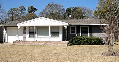
From Tanglewood homes to mobile homes: Simply the best in house-ish hackery.
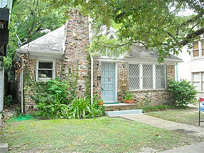
Update: Here you go!
Must be something stuck in the grinder or something: There’s been a delay in getting yesterday’s official permit list from the city. It’ll be posted here as soon as it comes in.
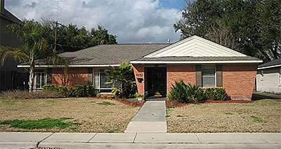
Just about back to normal with Houston’s good ol’ everyday destruction work:
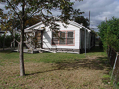
Swamplot’s Daily Demolition Report lists buildings that received City of Houston demolition permits the previous weekday.
A record-breaking list of permits issued just in time for Demolition Day, featuring a massive collection of single-stories on Airport Blvd., right off Sims Bayou.
Where are all the demolitions scheduled to take place Saturday, in Houston’s annual mass celebration of destruction? Reader Ed from Westbury has put together a handy-dandy map using BatchGeo that shows the locations of the buildings targeted by the city’s Neighborhood Protection department that have received demolition permits since last Friday. There should be more than 400 in there. Is your favorite condemned building missing from the map? Ed promises to update it over the weekend with any permits taken out today. Click here to see a larger version.
Map: Ed from Westbury
Just another 50 or so to throw in for good measure:
More dangerous buildings marked for the great Demolition Day this weekend. Plus a few rejects thrown in for good measure.
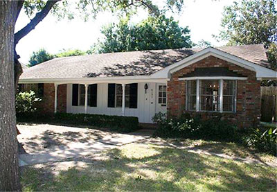
Hundreds of new-destruction listings make this the best Daily Demolition Report week ever — and it’s only Wednesday. So many smash’ems, it’s tough to know where to start.
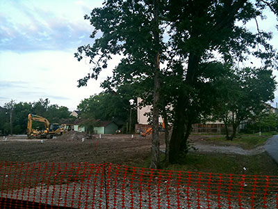
Actual trees are still standing in the Magnolia Grove lot where that live-oak clearance event began last month. What’s left: A little street mustache lining Feagan St., between Snover and Jackson Hill. The reader who sent these photos — and says she appreciates “raw” local real-estate news — wants to know what’s going in.
Update: Ladies and gentlemen, your patience has been rewarded with the following mayhem. (Links below.)
Oh, yes — another biggie today. Your patience, please, while the data is carefully crunched and mangled. All the dangerous-building destruction you so richly deserve, coming up.
Update: They’re here! All sixty-something of them.
Today: So many dangerous buildings, so little time! We’ll fill you in on the list as soon as we’ve got it crunched.