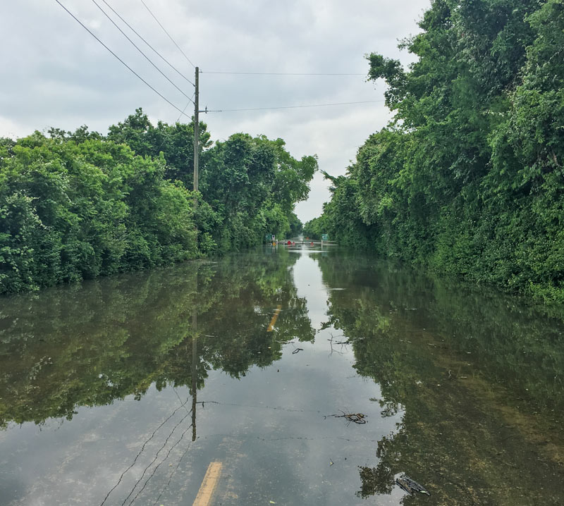
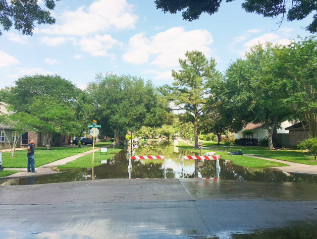
A reader caught the view above during a lunchtime bike ride into the Barker reservoir yesterday. The shot shows the nearly submerged stop signs on the currently-closed road barricade where Barker Clodine Rd. merges into the hike-and-bike trail system running throughout much of the reservoir (which stretches between I-10 and the Westpark Tollway just west of Hwy. 6). The Corps of Engineers has been releasing water from both Barker dam and its sister reservoir Addicks across I-10 since Thursday — but the level behind the dams continued to rise for a few days as additional water drained into the basins from the surrounding watersheds, faster than that water could be safely released downstream into Buffalo Bayou.
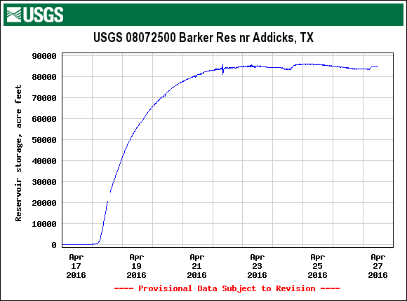
Both Barker and Addicks reservoirs’ levels finally began dropping on Saturday — though both started filling again briefly on Sunday as water from later-in-the-week storms trickled east from the surrounding watersheds. Below is an up-to-date look at Barker reservoir’s change in storage since the Tax Day flood, per USGS measurements:
***
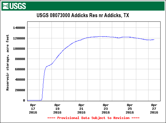
And here’s the storage volume over the same timeframe in the Addicks reservoir:
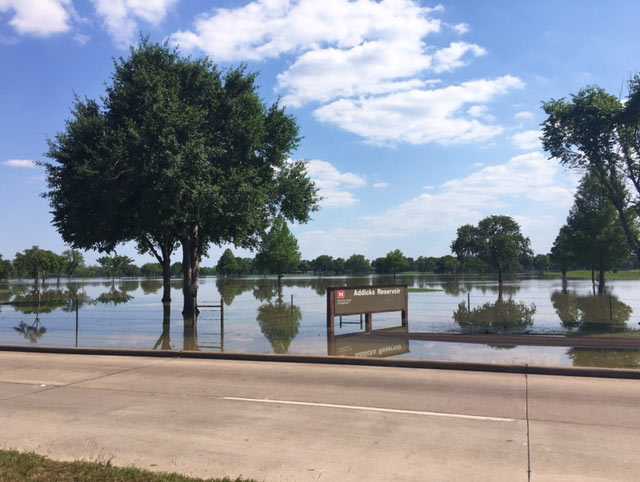
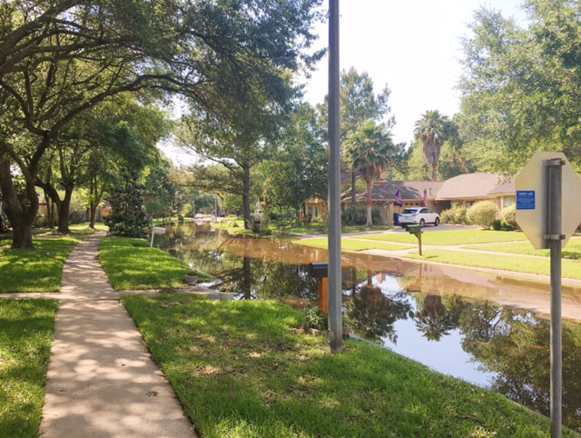
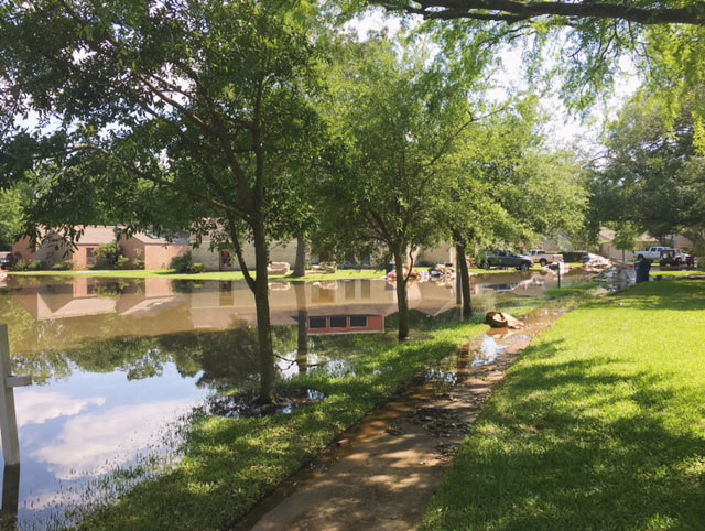
Along the Addicks reservoir’s western fringe, neighborhoods in the Bear Creek Village subdivision were still seeing water over the weekends:
- Previously on Swamplot: Comparing the View from the Drier Edges of Draining-But-Still-Rising Addicks and Barker ReservoirsWhere Water and Wildlife Are Expected To Enter Bear Creek Village as Addicks Rises; City Watching Addicks and Barker Do Their Own Dam Thing; Flooding Keeps Yale St. Bridge Open But Closes Hwy. 6 and 290; A Quick Update on the ‘Extremely High Risk’ Dams Protecting Downtown and Central Houston; Hiding in Plan for West Houston: New Streets Cutting Through George Bush Park, Addicks Reservoir; Turning the Feral Hogs of Barker and Addicks Reservoirs into Pork Chops for the Needy; Last-Ditch Grand Parkway Defense Spotlights Dangerous Conditions at Addicks and Barker Dams;What Happens If You Don’t Garden the Wild
Images: Joe Bielamowicz (top photo), Ben Hill (bottom photos), USGS (water elevation charts)


So the new unit of measurement for H2O abundance is gallons, like milk and gasoline, rather than acre feet? Hmm…. sure makes for big numbers. Why not go to quarts, or to liters to be more metric? Or centi- and mililiters to ramp up the orders of magnitude and take us into the trillions.