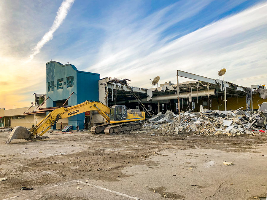
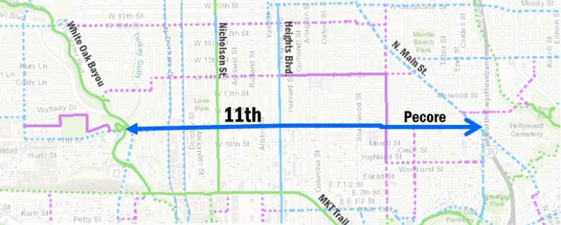
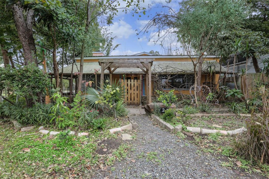
PUTTING THE HEIGHTS BACK IN ITS . . . UH, PLACES  “In their rush to capitalize on the popularity of the district, businesses and developers have awkwardly assumed the mantle of the name ‘Heights,’ even though they’re clearly outside the zone of its accepted borders,” writes Jeff Balke this morning for the Houston Press. Where exactly are those accepted borders? And which variation means what? Balke suggests something between a taxonomical scheme and an etiquette lesson on selecting the proper name for whatever flavor of Heights, Heights-adjacent and Heights-aspiring territory you may be seeking to invoke — from the historic city originally spurring the name, all the way to the fringe territories of Katyville and the Heights Walmart. [Houston Press; previously on Swamplot] Photo: Swamplot inbox


“Historic Heights” runs west to Dian St. according to this article. This would include some of Shady Acres. Does that mean if I’m between Beall and Durham then I can safely say “I’m in the Heights” without getting a look?
I also notice people calling the apartments near NRG Stadium as far away as 610 as “in the Medical Center”.
Heights also extends south of I-10 and White Oak Bayou along Heights Blvd and Yale to Washington Avenue. it included all the industrial zone that the Walmart replaced. Walmart has more claim to the Heights moniker than most new developments that borrow the name.
Every apartment complex inside the loop is located in River Oaks. Thank God they came up with the Upper Kirby name. It was getting ridiculous.
Not to drag things too far off-topic…but how about the Crowne Plaza “Galleria Area”
Whoops, how about the Crowne Plaza “Galleria Area” located at 7611 Katy Freeway? A mere 3.8 miles from the Galleria! Do you think the concierge informs guests about the very direct walking route to the Galleria along the 610 feeder? According to Google Maps, a mere one hour and fifteen minute stroll each way!
Let the hand wringing begin… Love it! If only we had boroughs!
The original plat for the Heights did not include Walmart. The southern border was White Oak bayou except for a thin sliver along Heights Blvd that was bound by Yale St to the west and Harvard to the east. Industrial development where the Walmart currently is located did not come along until the 40s and 50s.
My theory is that they came up with the “Upper Kirby” name as a buffer between River Oaks and Montrose, back when Montrose was a lot scruffier. (Source: Montrose/Upper Kirby/Montrose resident since 1986)
Douchington Avenue is definitely NOT the heights.
Heights creep is to the 2010’s what “River Oaks” creep was to the 1980’s/90’s. Back in the 90’s when I was living in a (moderately crappy) apartment near the corner of Kirby and Westheimer, anything between Buffalo Bayou, the West Loop, US-59 and Montrose might have been referred to as River Oaks. Hell, even the River Oaks Shopping Center isn’t even actually in River Oaks.
“Heights” name creep is nothing new. In the early 1900s the areas surrounding the Heights were developed into the neighborhoods Woodland Heights, Sunset Heights, Independence Heights, etc.