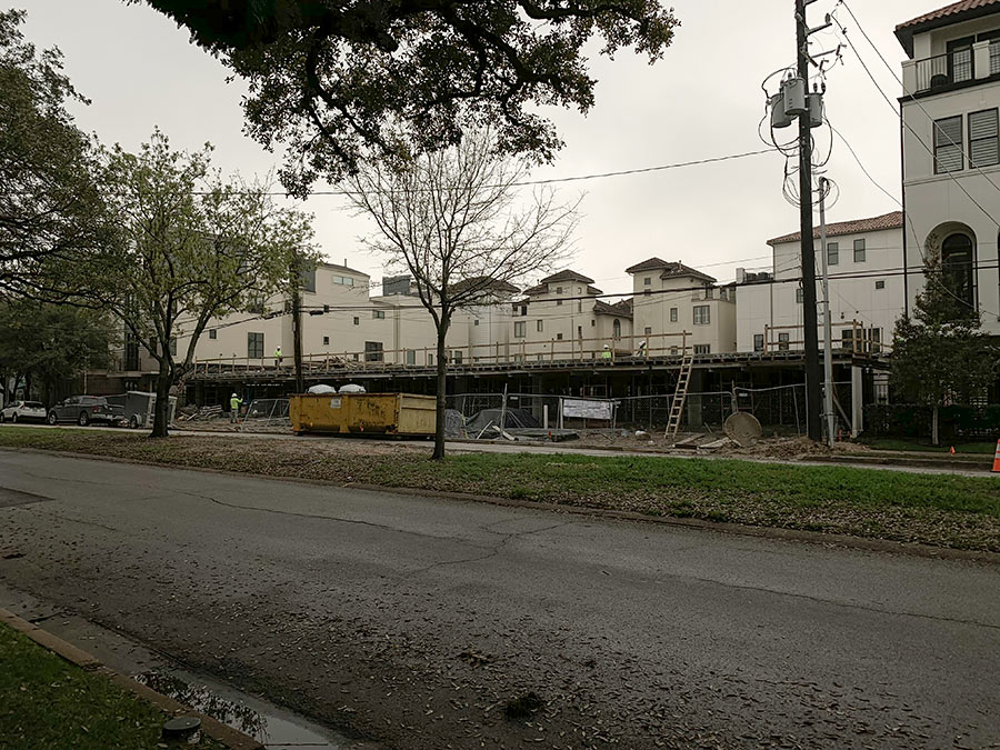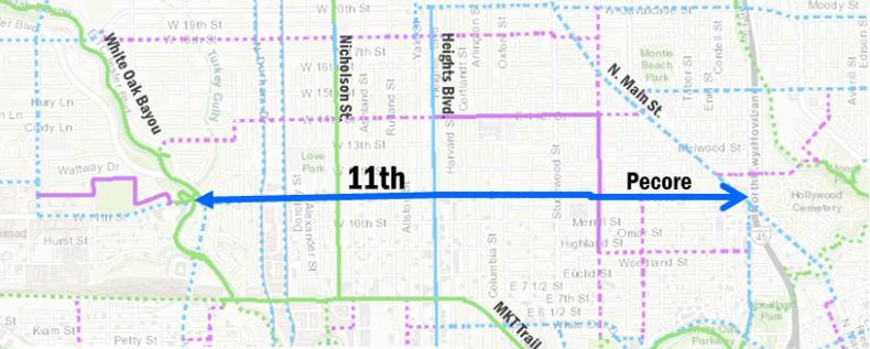
Sent in by a reader: Another view of construction along the new MKT/SP Hike and Bike trail meant to connect the Heights to Downtown bikeways. The photo, taken from around here, shows the scene along Spring St. in the First Ward, a couple blocks west of Houston Ave.
- MKT Rails to Trails [Houston Bikeway Program]
- MKT/SP Rails to Trails Map [City of Houston]
- Heights Hike and Bike Trail: Actual Construction Spotted [Swamplot]


The groundbreaking ceremony was a great event back on December 6. Lots of area biker participated and there was nice showing.
The ultimate goal is to connect this trail to the White Oak Bayou trail that starts at 11th street. Then to extend the White Oak Bayou trail hopefully to BW 8.
This would offer a continuous trail from Jersey Village to Downtown.
A long time coming. I can’t wait to be able to safely ride my bicycle into downtown from East Sunset Heights.
I’m really excited to see construction underway for the bike path on Spring, especially as I’m just a block over on Shearn.
Is there a map to be found online that shows the MKT/SP Hike and Bike trail?
I’m curious how the trail connects with the trails in White Oak Park, as well as into downtown.
@amazingann: For a map, try the second link at the bottom of the article above. You can also find more information on all the planned Houston Bikeway Projects on this page.