With water levels on Buffalo Bayou around Shepherd Dr. now forecast to recede, this drone video of one stretch of the waterway — taken yesterday during a lull in the rains — may turn out to be one of the best views available of the extent of flooding at the northwest corner of Montrose. A few video highlights, still visible above the floodwaters: The top floor of The Dunlavy, high above the now-complete-subsumed Lost Lake; the fuzzy treetop semi-circles formed by the twin stands of crape myrtles at Waugh Dr.; the Waugh Dr. bridge itself, now looking like a causeway; and the patterned grounds of the Beth Yeshurun Cemetery.
Video:Â Evan Mallett


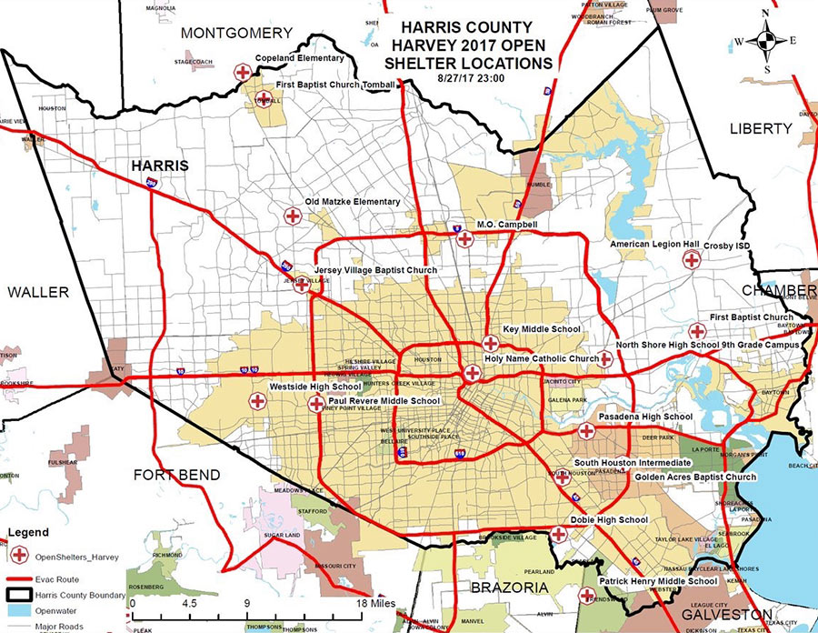 A few places you can hunt for shelters open now, whether you’re hunting for family or friends, looking for a volunteer opportunity, or have suddenly discovered your area is now under an evacuation order (as parts of Conroe and Missouri City found themselves this morning, following orders for Bay City and parts of Ft. Bend County and Rosenberg yesterday):
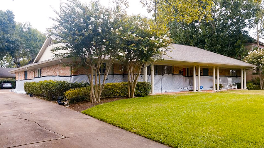 What kind of person would pay close to $5,000 to have 18,000 pounds of sandbags delivered and installed in a low stack in front of a 5-ft.-high waterproofing barrier surrounding her home? The owner of a Meyerland single-story 4-bedroom (pictured above) 1 block south of Brays Bayou that flooded “for the first time” in the Memorial Day deluge of 2015 (according to a real estate listing of that year) and then twice more in the past year or so. “
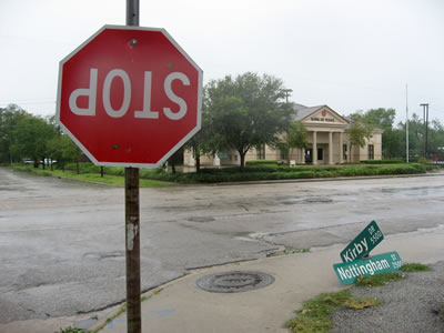 Houston’s first hurricane of the smartphone-carry era is almost upon us. Plus, at least a few of you will have drones at the ready this time (once the winds subside, of course). It all adds up to a grand possibility: Houston’s best-documented storm aftermath ever. Whichever direction you end up hunkering this long weekend, stay safe! But when the hazards recede and you venture out to see what’s up in or around your neighborhood, snap some pics or vids of notable sights and
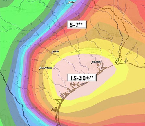
 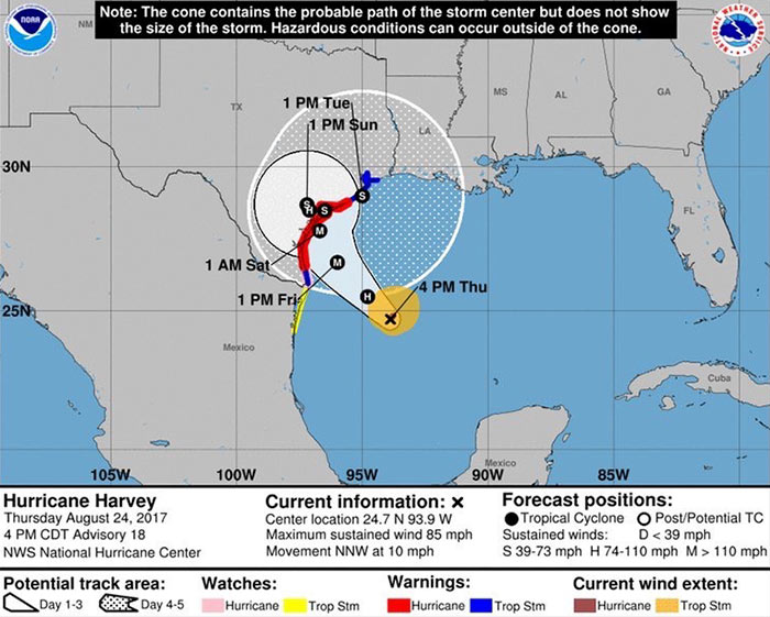 A Hurricane Harvey shown veering slightly further to the east than previous reports suggested is now expected to reach the Texas coast late Friday night or early Saturday morning as close as 125 miles southwest of Houston — with a rating at the high end of Category 3. But