
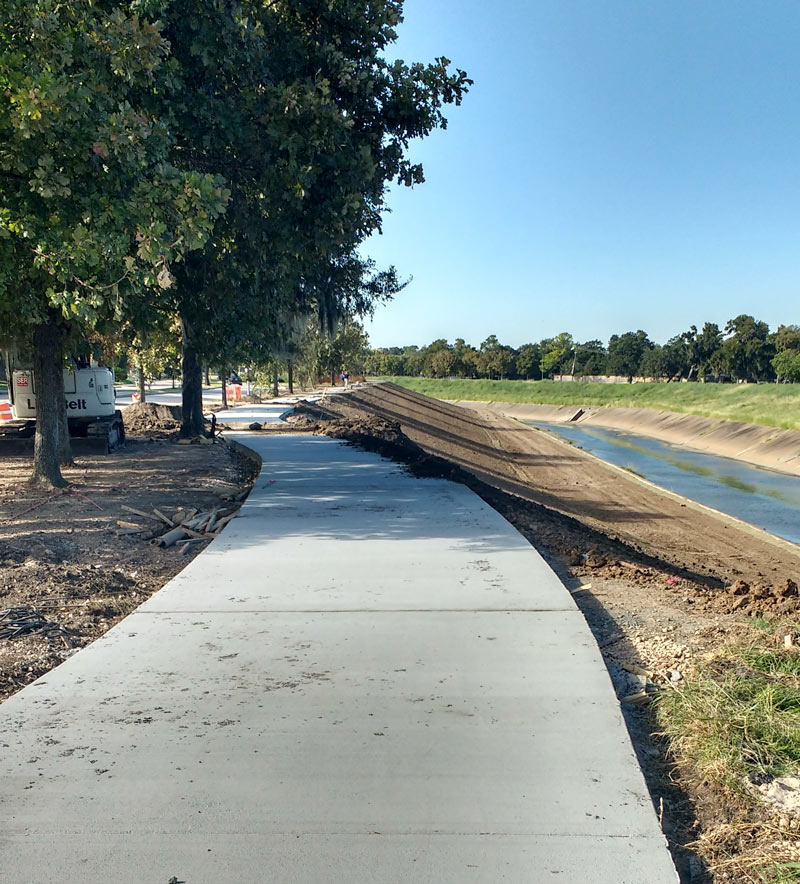
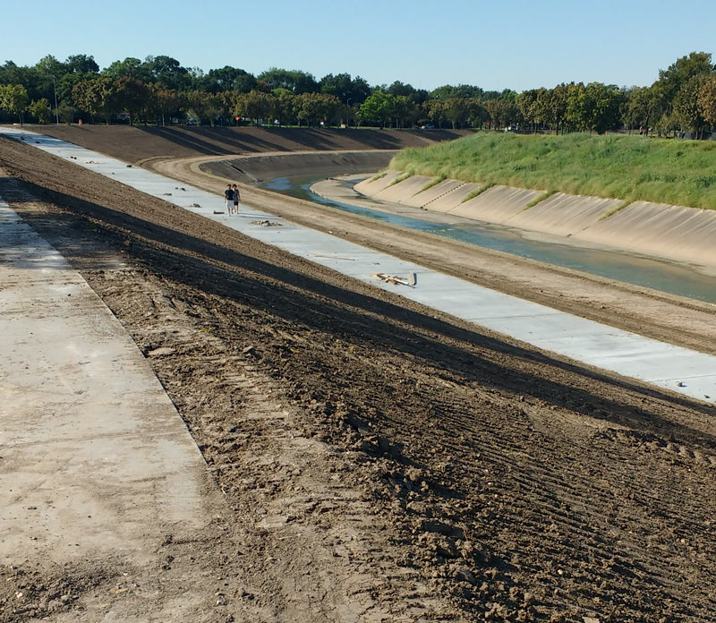
A mobile reader sends some fresh shots of not-quite-green-yet redone greenway along Brays Bayou, looking west from Buffalo Spdway. along S. Braeswood Blvd. The Harris County flood control folks have been widening this section of the channelized stream this fall as they work their way through the Project Brays checklist; the stretch seen above and below is about 2 miles downstream of some of those more submersion-prone areas of Meyerland near the Brays crossing under 610.
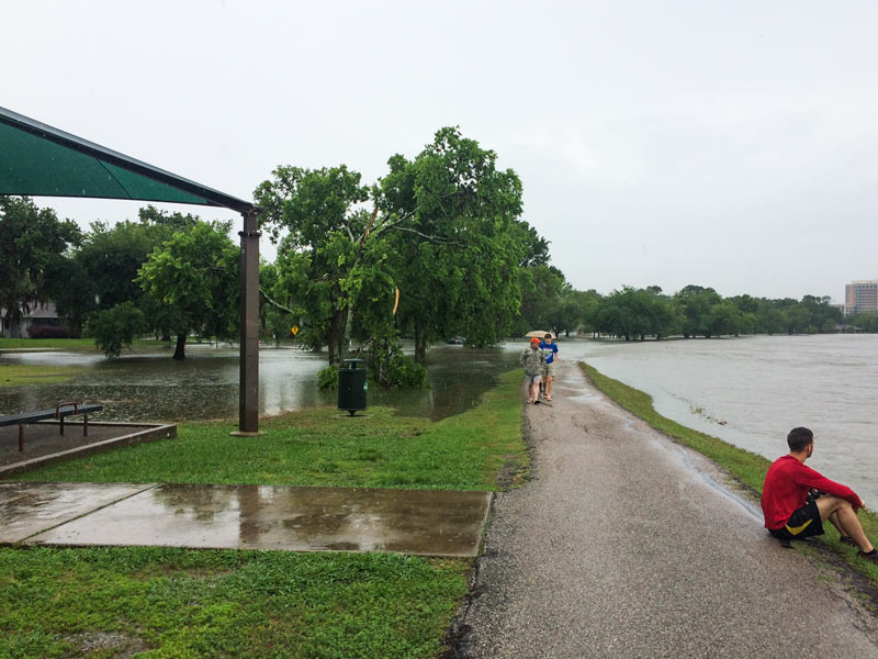
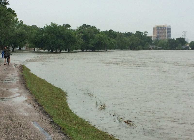
The new trail is a fair bit wider and smoother than the one it’s replacing — for some soggy comparison, here’s a view of the trail from around noon on Tax Day, just up past the next bend near where Ilona Ln. meets S. Braeswood:
***
That’s the Brazos Towers at Bayou Manor retirement midrise visible past Stella Link on the right, posing with some electrical transmission towers:
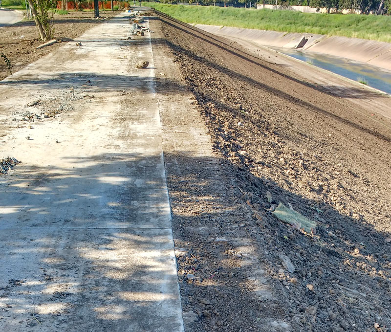
A reader reports that the section of replacement trail is nearly finished between Buffalo Spdwy. and Bevlyn Dr.:
- Brays Bayou Greenway [Houston Parks Board]
- Previously on Swamplot:Â Shots of Brays Bayou Stretching Out along S. Braeswood Dr.;Â A Wider Bayou and a Bridge Switcheroo Along O.S.T.;Â More Ponds, Hugging Bayous;Â Brays Bayou Flood Control Landscape: Eldridge Hillside Sheep
Photos: Swamplot inbox

Many trees were extracted for this project, but none were major, and they can be replaced (if possible). Some of the excavation seems pretty close to the roadway, so I hope the engineer’s calculations are correct.
I’m glad to see a report on what’s going on with the trail. I’ve seen them tearing up large sections near Kirby and Braeswood in the last few months.
.
And, I’m glad to see that they are taking the opportunity to install a wider path. I’m a bit mixed on the concrete: more durable than the previous asphalt but harder on joints. I’ll still be happy when it is reopen.
Wolf: for the sake of your joints, and for the sake of my sanity as a cyclist using these trails, I wish they’d put in separate crushed rock trails for walkers/joggers, and then make it clear with signs that non-cyclists should stick to the gravel.
(A lot of cities call trails like this “Multiple Use Pathways”, or MUPs for short. I saw a post on a cycling forum once say the MUP actually stands for “Many Unaware Pedestrians”.)
I have heard that they have to make the trails wide enough for light emergency vehicles when improving/adding trails on the Bayou. That is why they are using concrete instead of asphalt. Also, crushed granite paths washout easily and are very expensive both to install and maintain. Maybe if the Kinders find a few mil between the couch cushions they could pay to install rubberized track like they did along the Katy Trail in Dallas.
Crushed gravel salesmen don’t have the connections (*cough* prostitutes *cough*) that the concrete salesmen have. Have you seen the concrete complex down at 90A and Holmes Rd.? All that concrete has to go somewhere! There aren’t enough slab foundations being poured these days…
So happy to hear of the widening and near completion of the trail. Got a new bike and anxious to take her down the road a few extra miles.
they’re also doing work on this bayou down by UH, it will extend the trail past MacGreggor park and connect with parts already completed farther downstream.
.
I think when that’s done it will be the longest uninterrupted trail along a bayou in Houston?
Unless it had been a levey, I with they would spend the $$$ they dished out in concrete on making the bayou deeper.