11/15/17 10:15am

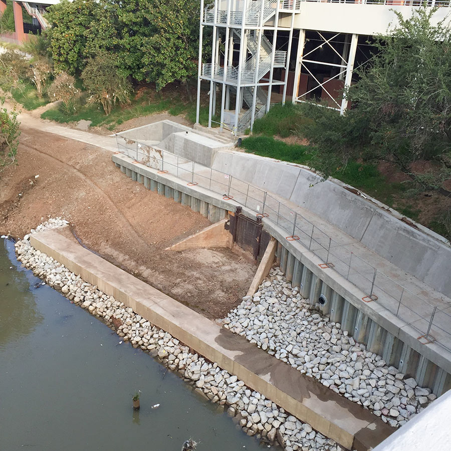
Construction is almost complete on a missing link between the bike paths lining Buffalo Bayou Park and the Heights Hike and Bike Trail, according to passer-by Christopher Andrews — who snapped the above photo from the southern span of the Main St. bridge, looking towards the back of the UH–Downtown campus. The purple curve just north of Allen’s Landing marked on the map below is the segment of the bayou trail that’s in the works. You can see where that portion will intersect the Heights trail, marked below in gray, after it crosses White Oak Bayou’s southerly meander to the east of UHD:

CONTINUE READING THIS STORY

Downtown Link
03/29/17 9:30am

Houston Heights Run Resembling the Shape of Texas

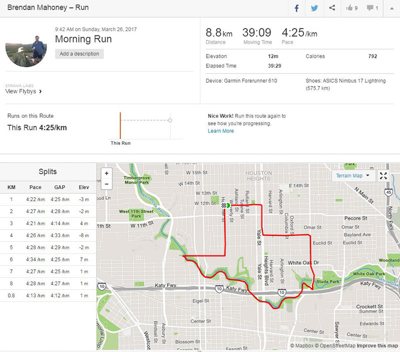
Swamplot reader Brendan Mahoney, an Aussie transplant, writes in to report a discovery he and his running partner made just a few weeks ago while out on a run in the Heights area: “The new 2 mile section of the White Oak Bayou Greenway that opened recently looks like the great state of Texas.” Mahoney’s kinda-familiar path (and split times) are visible in the screenshot of his running app, above. Here’s a closeup:

CONTINUE READING THIS STORY

Heights Lone Star-ish Lap
10/21/16 1:30pm

Trail construction along White Oak Bayou near Leonel Castillo Community Center, 2101 South St, Near Northside, Houston, 77009

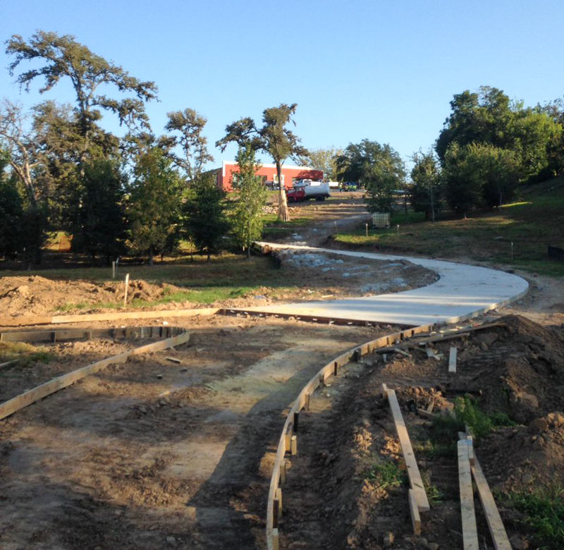
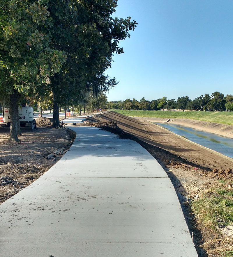
A reader caught some shots last week of the current trailblazing going on between the Leonel Castillo Community Center and the White Oak Bayou greenway trail in Near Northside. The new connector should hit the path roughly between the south end of the building and the nearby Thomas Street Health Center HIV-slash-AIDS service building, just north of where the Heights hike-and-bike trail crosses over the bayou and under the Hogan St. bridge to merge with the White Oak trail on the way into Downtown:

CONTINUE READING THIS STORY

Closing Distance to Downtown
10/13/16 11:00am

Brays Bayou from Buffalo Speedway to Bevelyn, Linkwood, Houston, 77025

A mobile reader sends some fresh shots of not-quite-green-yet redone greenway along Brays Bayou, looking west from Buffalo Spdway. along S. Braeswood Blvd. The Harris County flood control folks have been widening this section of the channelized stream this fall as they work their way through the Project Brays checklist; the stretch seen above and below is about 2 miles downstream of some of those more submersion-prone areas of Meyerland near the Brays crossing under 610.

The new trail is a fair bit wider and smoother than the one it’s replacing — for some soggy comparison, here’s a view of the trail from around noon on Tax Day, just up past the next bend near where Ilona Ln. meets S. Braeswood:

CONTINUE READING THIS STORY

Widening Greenways and Waterways
11/11/14 2:30pm

surge-sign-removal-heights

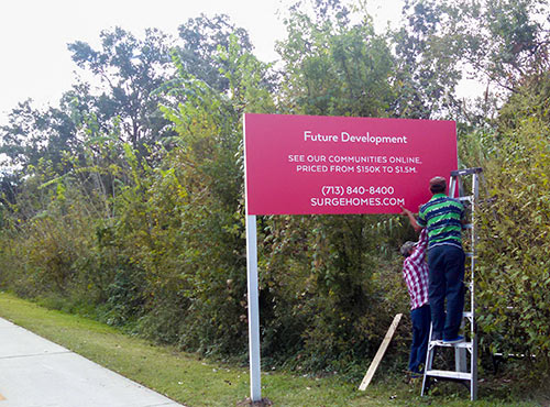
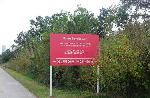
Over the weekend  Surge Homes removed the sign promising “future development” along the Heights Hike-and-Bike Trail. Workers took the recently-installed bike-scaled billboard Saturday morning. It appears that the sign had been squatting on a public right-of-way.

Around the same time, the newly-created Surge Homes released lots of new information for the trailside colony. Surge is run by the same principals involved with Canada’s Group LSR who closed on the property in 2004. Sporadic attempts to develop the site have so far borne no fruit.

Aerial views show that the project would take quite a bite out of the pocket forest currently on the site; access would come via a lengthened E. 5th St., not a trail-crossing extension of Frasier St., as in an earlier proposal.

CONTINUE READING THIS STORY

Surge Homes Pullback
11/07/14 10:00am

surge-homes-sign-emes-place

Here’s the sign that a reader says went up earlier this week along the south side of the Heights hike-and-bike trail just south of the Freeland Historic District, at the ends of Frasier St. and E. 5th 1/2 St. Does the promise of “future development” mean that another developer is taking a turn trying to develop the 1.4-acre parcel of land where a proposed 80-plus-unit condo project known variously as Emes Place or Viewpoint at the Heights stirred up a fair amount of neighborhood opposition when it was last in the news a couple of years ago?

CONTINUE READING THIS STORY

Surge!
12/09/13 3:15pm

2008-shearn-01

2008-shearn-06

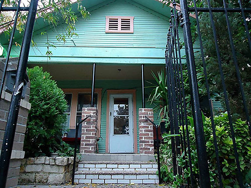
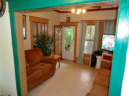
It measures only 768 sq. ft., but a brightly painted 1930 home trims out its few rooms and doles them out in squared-off 12-ft. increments. The aquatic property is in the Shearn subdivison, located a block south of the Heights Hike-and-Bike trail and up the street from the back of Crockett Elementary’s campus. (Spring Street Studios is also nearby.) The little cottage’s entirety would likely fit inside the footprint of one of the towering townhome units cropping up nearby; waves of redevelopment are drawing nearer. Over the weekend, the property’s relisting by a new agency dropped the price to $224,000;  an initial listing in August 2013 got the ball rolling at $237,900. Will a wrecking ball be next?

CONTINUE READING THIS STORY

A Little House That Might