Here’s a commandeerable after-and-before flooding shot, taken from a drone hovering 300 ft. above Hwy. 6 just north of the Barker Reservoir spillway. Move the slider at the bottom of the image to toggle slowly between the 2 views, taken Thursday, August 24th (on the right, not long before the arrival of Hurricane Harvey) and Tuesday, August 29th (on the left, after stormwater filled the reservoir and the flooded the area). You can also rotate and zoom the image with your pointing device or finger.
In the initial view, the camera is facing straight down Addicks-Howell Rd.; the wider Hwy. 6 appears to veer off to the left. Addicks-Howell marks the entrance to Fleetwood, the adjacent neighborhood. Rotate the view 180 degrees to see the spillway.
Houston visualization firm Reality Imaging & Mapping Technologies took the panoramic images and stitched them together to create the immersive and zoomable view, which can also be experienced as a VR image. Click here to view the image in its own browser window.
Image: Reality Imaging & Mapping Technologies


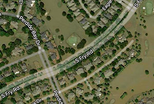
 “Google Maps has outed us as a city that floods,” laments meteorologist Brooks Garner, giving voice to would-be sellers of flooded homes worried that recent soggy aerial views will remain in the mapping system for years: “It should be said that legally, home owners must disclose if their home has ever flooded (or even if their property has flooded, while their actual house stayed dry). While that’s defeating enough to have to do, words are less influencing to a buyer’s decision than seeing an actual image of the inundated neighborhood. It arguably gives the impression that the water is still that high. . . .