
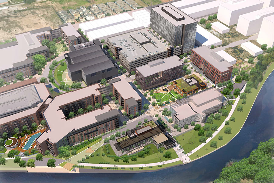
THE ALLEN’S LATEST MIXED-USE MAP NIXES THE PEDESTRIAN BRIDGE ACROSS ALLEN PKWY.  Remember that pedestrian bridge that previous maps and renderings for The Allen showed crossing Allen Pkwy. in order to link the planned development to Buffalo Bayou Park? Well, it appears to be gone now: New marketing materials put out by Transwestern include no indication of it whatsoever. (Earlier versions of the map above had shown it plugging into the building labeled 1, a lowrise retail structure.) All 6 acres of the site — between Allen Parkway Village and the Federal Reserve building — remain vacant right now, except for a tiny portion near the southwest corner where a newly-poured concrete foundation has given rise to a yet-unidentified wood-framed structure over the past couple of days. [Transwestern (PDF) via HAIF; previously on Swamplot] Map: Transwestern
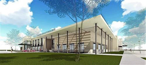
The building they’re putting up now looks like it has the same basic shape as the southeast corner of that Building 6, which doesn’t seem to be mentioned in the brochure. My guess, they built a partial foundation for the apartment building (it had a crapton of footer beams, so was way overdesigned for a little structure), and they’re using this as a sales building. Once they’re ready to build there, probably a phase II or III, they’ll knock it down.
More “value engineered†garbage in prime spots.
Now if they would just demo Allan Parkway Village put something useful there that would be a really nice area, and a lot less theft.