

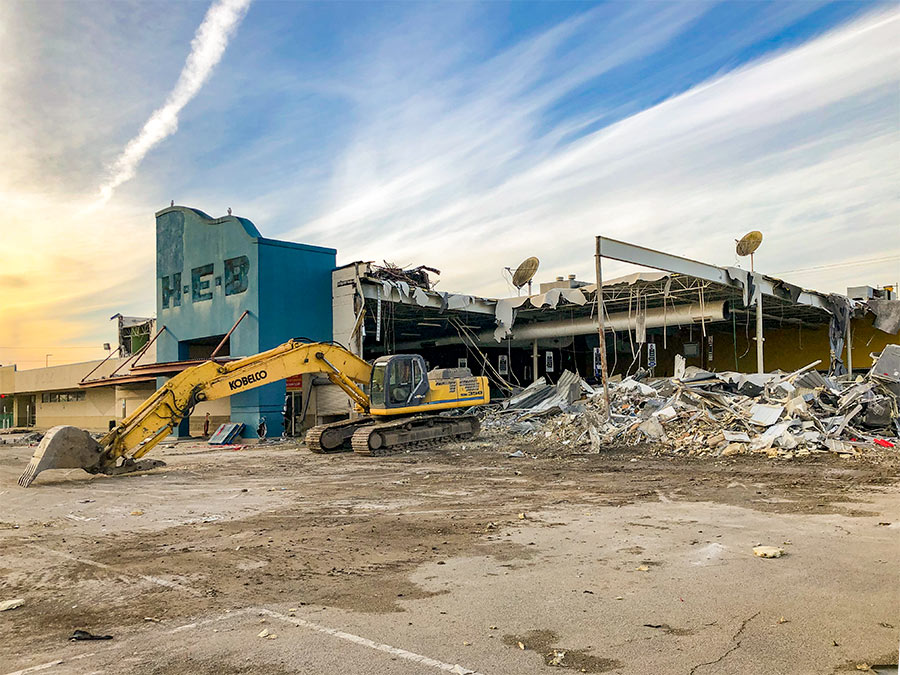
Lauren Meyers, archivist of would-be Houston, digs up an earlier plan for a building at 4500 Bissonnet, on the corner of Mulberry St. in Bellaire. That’s the vacant property long in the possession of legendarily delinquent Wilshire Village landlord Jay H. Cohen, where Matt Dilick, the man who now apparently controls it, is planning to build a 2ish-story stucco mild-West meets retail-Tuscan strip center and sell off the rest of the land.
Back in 1946, Cohen’s father, who had developed the Wilshire Village Apartments on West Alabama and Dunlavy 6 years earlier, planned a 122-home subdivision on the 30-acre strip between Avenue A (now Newcastle St.) and Mulberry St. with a partner. And at the southern end of the property, facing Richmond Rd. (now Bissonnet St.), a sweeping, low-slung modern structure spanning Howard St.: the Mulberry Manor Community Center, designed by Houston architects Lloyd & Morgan.
Meyers quotes a Houston Chronicle report from September 1, 1946:
***
The proposed community center, which would cost $250,000, will be constructed provided the city of Bellaire adopts a zoning ordinance which would allow commercial construction in the area. The fight over the zoning plan recently provoked widespread strife within Bellaire’s city council. The ordinance will be voted upon September 7. . . .
The proposed community center would include spaces for a super market, general store, auto agency, beauty shop, electrical appliance store, and other stores. It has been designed as a Western modern type, and the over-all design resembles an airplane with one wing clipped off – that is, the bird’s eye view of it. Planners of the project say they are hopeful of completion of the entire project in about seven months.

- Mulberry Manor [arch-ive]
- On Bissonnet near Newcastle: More Pieces of the Wilshire Village Package [Swamplot]
- Wilshire Village coverage [Swamplot]
Lloyd & Morgan rendering of Mulberry Manor Community Center and map: Arch-ive.org [license]

Look at that sweeping, modern, multi-use plan from 50 years ago!
Holy-moly-linoleum, I love historic archives.
Does anyone know the when and why of Richmond Road being re-named Bissonnet? I have seen it labeled “Richmond Road” on some old plat maps.
1946, huh? Well, it would be time to tear it down anyway….
I believe that today’s Bissonnet originally was named (Old) Richmond Road because it led toward Richmond, Texas. Similar to how the stretch of North Main beyond the city limits at Boundary was called Montgomery Road — it was the route to Montgomery.
Thanks Ms Brooke for weighing in. Anybody have any recollection of when the name was changed? Seems like it was called Richmond Rd as recently as the 1950’s. I ma curious because that is an awfully large well travelled artery to get a name change
From J.R. Gonzales’ estimable Bayou City History pages, http://blogs.chron.com/bayoucityhistory/ …
http://www.gshtx.org/en/photos/v/868
(Souperman comments, “To maybe help any searches and to give readers a better mental picture of things… according to pre-Southwest Freeway maps, Richmond Road is better known as Bissonnet today (as it was the road to/from Richmond) coming from the southwest into town until it reached just north of West University and veered northward to join where the current Richmond Avenue is. Bissonnet continued eastward from where Richmond Road branched north.”)
So it sounds like ‘they’ opted to rationalize the name grid by giving Edloe a continuous stretch including the N-S segment of Old Richmond; Bissonnet (name still uncharacterized) a continuous trend westward; and Richmond the capacity not to be odd running E-W parallel with Old Richmond.
http://rktoday.blogspot.com/2009_04_25_archive.html says that the name was Old Richmond into 1961 at least, and a first guess is that the impetus for the name change was either the Southwest Freeway’s completion through there in 1962 or Schnitzer’s beginning of Greenway Plaza soon thereafter.
It appears that the name was changed in parts, beginning in the early 1960s with the construction of the Southwest Freeway. From TexasFreeway.com:
1961 map showing beginning of Southwest Freeway, with Richmond Rd both in Bellaire and to the west.
1965 map showing Southwest Freeway completed down to Sugar Land, intersecting US 90. Richmond Rd. has been renamed to Bissonnet Ave. inside Bellaire and Houston city limits, but is still Richmond Rd. to the west.
Looking at some topo and street maps, here’s what I found (and I know that some maps left out roads or failed to show them completely, so this is by no means the end all be all):
1915: Bissonnet started at Montrose Blvd. and headed west until it curved to the SW around “Poor Farm.”
1935: Same as above, but no name for the acreage out there.
1955: This maps show Bissonnet starting at Graustark and heading west until Edloe, where it changes to Richmond Rd.
1965: Bissonet runs from S Main to “Stafford Riceville School Rd.” which is present day Gessner. West of Gessner it’s Richmond Rd.
1967: entirely Bissonnet
This was the letter that I sent to Gringo’s. It would be the best thing that happened to Bellaire since the Trolley cameif they would put one on this property.
To Whom It May Concern;
Have or would you consider opening a restaurant in Bellaire, Texas? I have wanted to build a Gringo’s in Bellaire or somewhere near the area for over 7 years. There is a restaurant that I’m sure you might have heard of called Jax’s grill. It does unbelievable business in Bellaire. Bellaireians eat this place up. The food is good but nothing in comparison to Gringo’s. There really are no mexican food restaurants besides Los Tios and Escalantes in Meyerland. Los Tios restaurant is always packed but the quality of the food has gone down the drain since Skeeters bought them out. I would like to hear your side to this matter and hear some suggestions.
I wish I could help to finance this dream of mine.