Tag: Braeswood Place
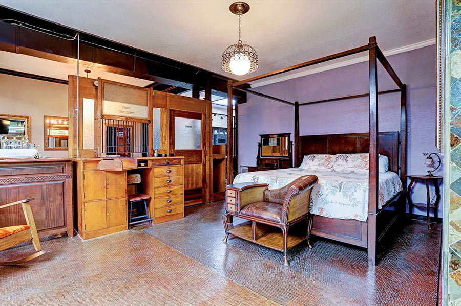
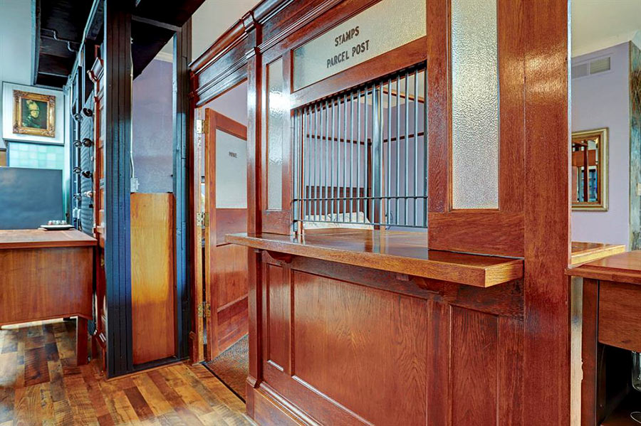
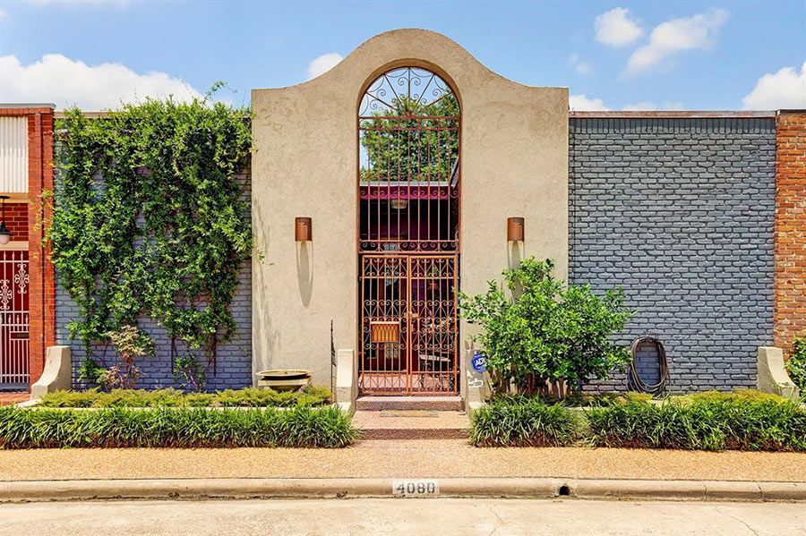
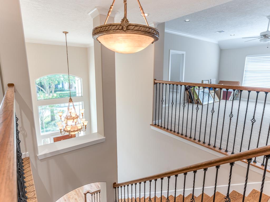
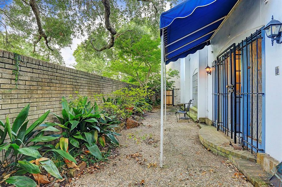
Step up here for stamps 4080 Breakwood Dr., a 2-bed, 2-bath structure in the block-long row of townhomes that sits between Lakeland and Fordshire drives, just off the South Loop West. Not many interior walls divide the open space you step into upon entering the house, and the one that does is done up as the service counter you’d find in an old post office.
On its employees-only side, the previous owners finished the bedroom floor with pennies. Here’s a closer up view of their investment:
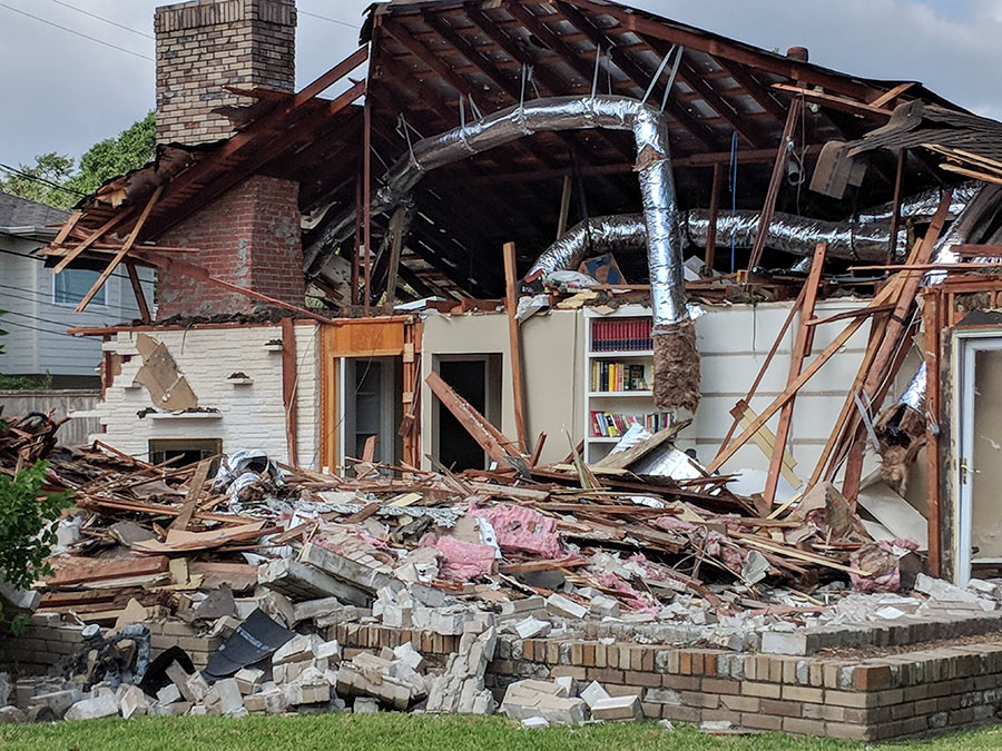
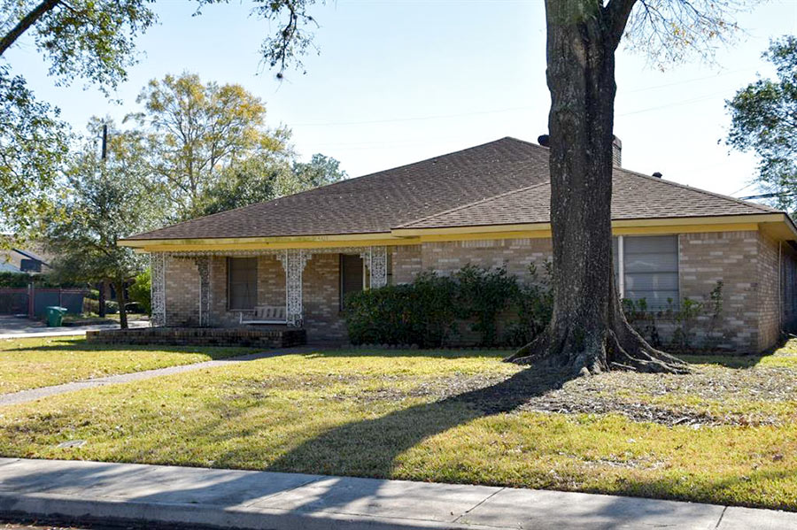
If you look carefully at the photo above, you’ll see books are still on the shelf at 4103 Falkirk Ln., shown in the middle of its demolition last week. Work left an open-air reference section fronting the street from the fifth-of-an-acre parcel 2 blocks north of N. Braeswood. $500,000 is the asking price for the property, which hit the market last December. Since then, its across-the-street neighbor was also torn down, leaving a vacancy of the same size at 4102. Both houses went up in the early ’50s.
- 4103 Falkirk [HAR]
- Previously on Swamplot: Daily Demolition Report: Dow and Out; Daily Demolition Report: Janak Junked
Photo of demolition: Swamplox inbox
COMMENT OF THE DAY RUNNER-UP: A SOGGY MOD FOR GRABS IN BRAESWOOD 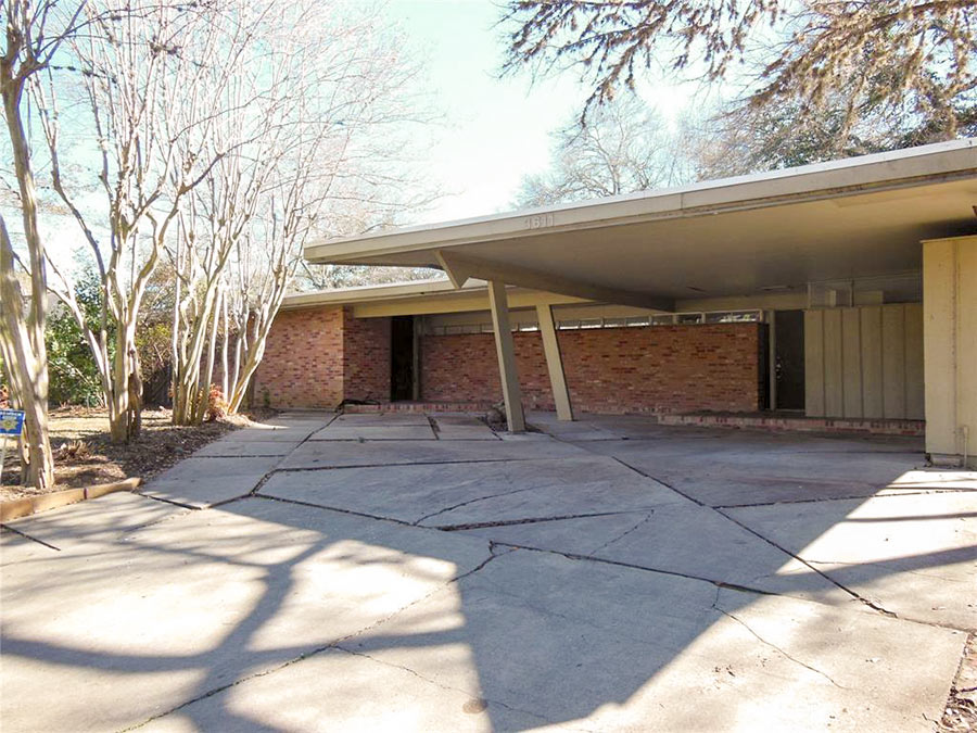 “For what it’s worth, my house flooded. I’m selling as is and would be thrilled for the free publicity.” [Joe, commenting on Houston Home Listing Photo of the Day: The Halfway House] Photo of 3611 N. Braeswood Blvd.: HAR
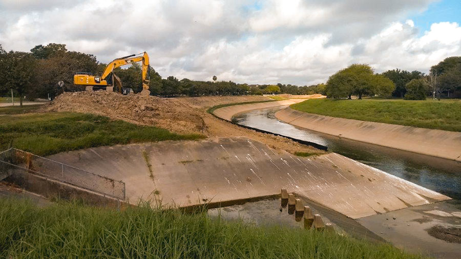
It’s coming a little late for many homes in Meyerland, but excavation crews are once again at work widening the segment of Brays Bayou just downstream of that flooded neighborhood. Work on the segment between Buffalo Speedway and S. Rice Ave. began this past summer. The widening is a part of the decade-plus-old Project Brays, begun before but accelerated as a result of flooding during Tropical Storm Allison in 2001.
Water levels on the bayou have returned to a manageable level; this photo, sent in by a Swamplot reader, shows an excavator at work on its south bank just west of the inlet between Timberside Dr. and Bevlyn Dr.
Photo: Swamplot inbox
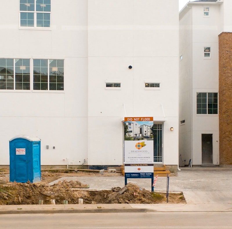
 Popular yet again in Houston: The DID NOT FLOOD sign topper. Here’s a new one spotted by wandering photographer Joshua House in front of the Covington Builders 4-story townhome development at 3821 N. Braeswood Blvd., one block north of Brays Bayou and a couple blocks east of Stella Link.
Where have you spotted signs like these in Harvey’s aftermath? Please send pics and coordinates to us. Swamplot wants to know what DID NOT FLOOD.
- 3821 N. Braeswood Blvd. [HAR]
Photo: Joshua House
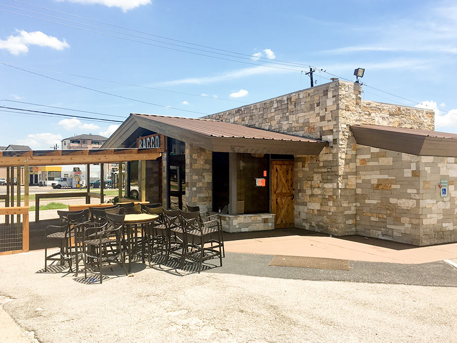
All construction work appears to have stopped, a reader notes, on the transformation of the former Pilgrim Cleaners and (later) Shriners Hospital clothing donation drop-off building at 4005 N. Braeswood into a second location of the Bacco wine bar. (The building, at the corner of Stella Link, backs up to Brays Bayou.) A red tag from city’s floodplain management office sticky-noted to the window beside the front door and dated July 3 gives a hint as to why: “Remodeling without floodplain permit in the floodplain,” it reads. On the next line, it adds another bit of advice: “Need electrical, plumbing, and structural permits as well.”
- Previously on Swamplot:Â Sixties Ex-Dry Cleaning Spot To Be Made Over as a Brays-Side Wine Bar
Photo: Swamplot inbox
- 3641 Deal St. [HAR]
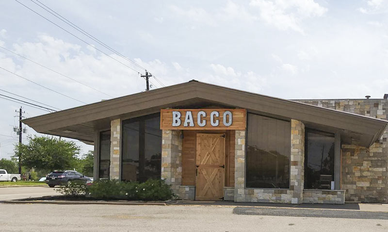
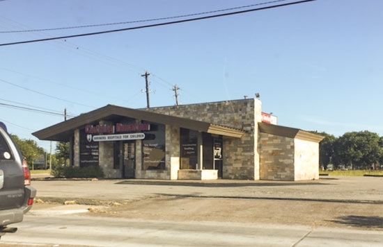 The Bacco folks appear to be moving right along with the makeover of that little freestanding Shriner’s Hospital clothing donation center building along Brays Bayou northwest of Stella Link Rd., a few readers note. The donation center signage (shown in the second photo) has now been fully swapped out for the wine bar’s logo and entryway stylings, and the bar says it’ll be working on an outdoor deck soon, now that internal rearrangements have mostly wrapped up. The new look has so far maintained the stone skin that the building picked up around 2013, before the then-empty retail shell picked up senior care consultant Care Locators as a tenant; before that, the Pilgrim Cleaners had opted for a more flat color scheme (shown below in an old listing photo without much in the way of windows, either):
COMMENT OF THE DAY: WILL THE BAYOU CITY PLEASE START ACTING LIKE IT?  “Is the new business going to incorporate the bayou, or keep its back turned to it? Would be nice to see the trend continue of businesses along the bayous turning around and accepting the existence of a recreational green belt and trail network in its backyard, rather than using that as the side for the dumpsters.” [Superdave, commenting on Sixties Ex-Dry Cleaning Spot To Be Made Over as a Brays-Side Wine Bar] Photo of Brays Bayou at Stella Link Rd.: Frank Karbarz
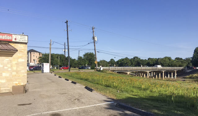
 The scenic view from behind the former Pilgrim Cleaners building at 4005 N. Braeswood Blvd. will reportedly belong soon to a second location of West University-adjacent wine lounge Bacco. The 1966 building (northwest of the Stella Link Rd. bridge over Brays Bayou) operated as a dry cleaner prior to its conversion to a clothing donation drop spot for the Shriner’s Hospital for Children.  Ralph Bivins notes this week in Realty News Report that the location may encourage traffic from Bayou Greenway hikers and bikers; a reader’s photos from the scene show that the trail on the north side of the bayou in this section is still sporting the au naturel look, though the trail on the south side is fully paved:
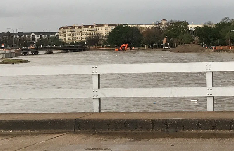
If you have information regarding the whereabouts of the cheery orange digging machine spotted yesterday morning dipping its tracks into a brimming Brays Bayou, a concerned reader would like to hear it — the shot above is his last sighting of the machine, taken from the Main St. bridge. “When I looked today, it was gone. Any idea what happened to it?” 24 hours, of course, is plenty of time for someone to have taken the excavator somewhere warm to dry off, so no reason to assume anything particularly unfortunate transpired; the photo was taken around 8:30, a little over an hour after the water had begun to recede from its early morning crest, according to the Harris County Flood Control gauge readings at the Main St. bridge:
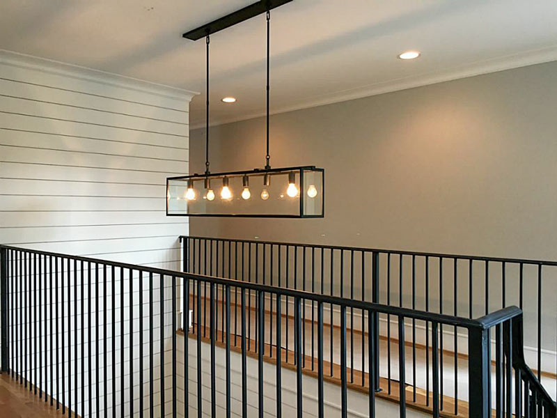
- 3733 Turnberry Cir. [HAR]
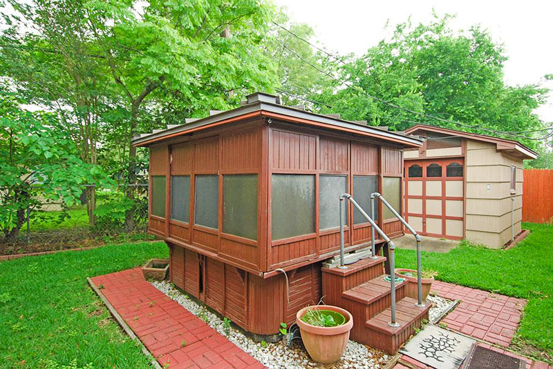
- 3018 Conway St. [HAR]


