Swamplot’s Daily Demolition Report lists buildings that received City of Houston demolition permits the previous weekday.
Rolling these off — for newer models:

Swamplot’s Daily Demolition Report lists buildings that received City of Houston demolition permits the previous weekday.
Rolling these off — for newer models:
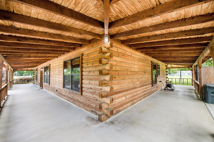
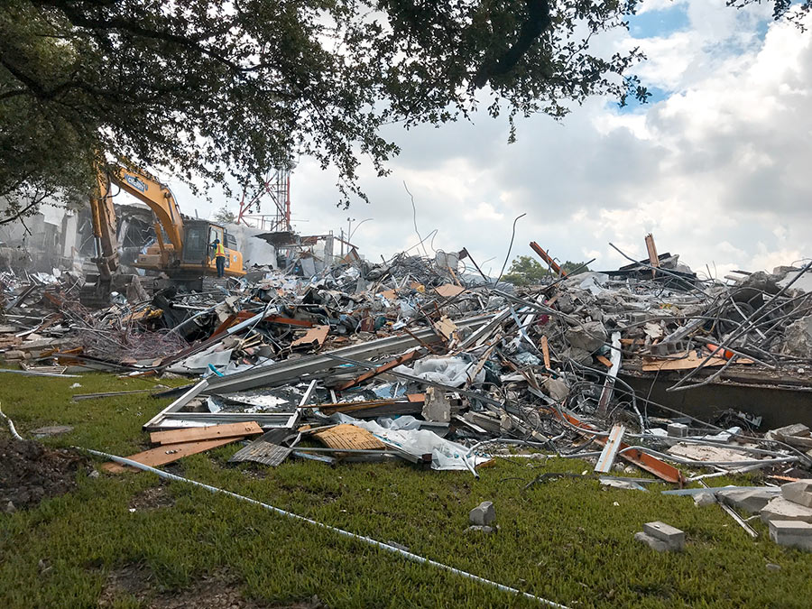
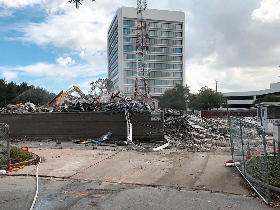
This just in: Photos from a Swamplot reader show the wreckage at KHOU’s 58-year-old Buffalo Bayou–side headquarters, abandoned since staff fled it for Houston Public Media’s less flood-prone Elgin St. newsroom shortly after Harvey. Following a few days of demolition, the building at 1945 Allen Pkwy has been almost entirely leveled.
The second photo above shows the Service Corporation International building looming over the dead news building. An entity connected to SCI — a national funeral home business — recently acquired KHOU’s former 3.2-acre spot.
KHOU’s antenna — stripped of its lettering since February — is now the only thing that fronts the neighboring tower’s west side:
Here’s the rundown of all the locations where vehicles injured (purple) or killed (black) cyclists and pedestrians in 2016 and 2017. Transit-focused organization LINK Houston used TxDOT reports to create the map, which plots out 85 percent of all the 641 major walk-and-bike crashes that occurred within city limits during those 2 years. (Locations for 15 percent couldn’t be nailed down.) Of all those collisions, just under a fifth involved bikers; the rest impacted pedestrians. Click on a dot to reveal more about the specific accident that happened at that location.
Even more data shows up here on the full-screen map, which tallies up demographics like the ages, races, and genders of those hit as you move around different neighborhoods. Citywide, one of the brightest constellations is an elbow-shaped one that stretches from Montrose through Midtown and into Downtown — where 22 crashes occurred over the last 2 years. But despite its dimmer glow, Sharpstown had the highest hit rate of any Houston neighborhood: 29. Throughout the entire city, 158 people were killed and 389 were injured.
Map: LINK Houston
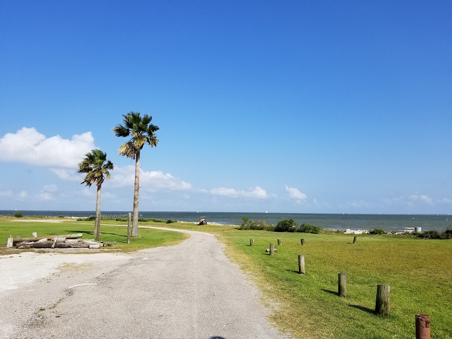
Photo of Seascape Park: Marc Longoria via Swamplot Flickr Pool
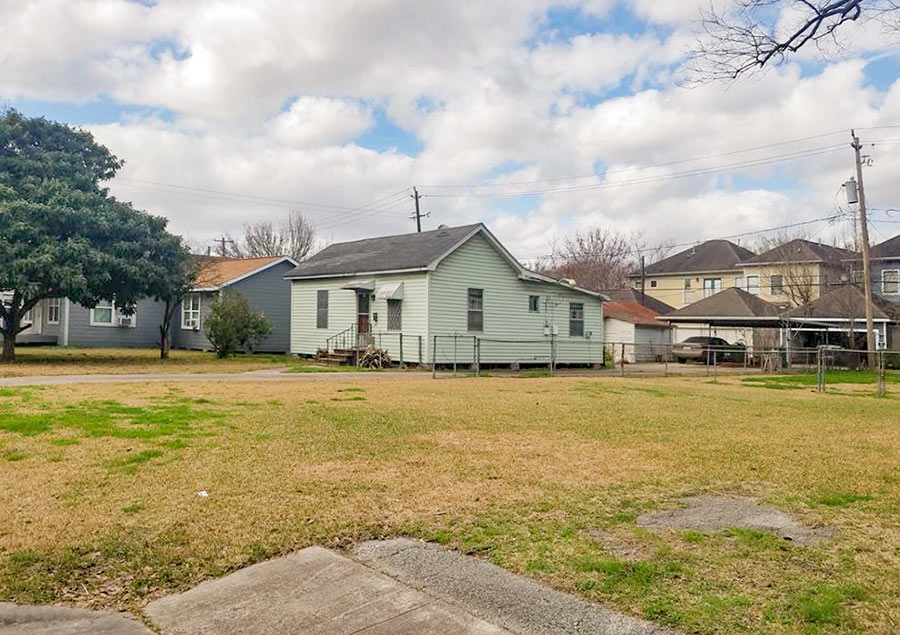
Swamplot’s Daily Demolition Report lists buildings that received City of Houston demolition permits the previous weekday.
Your double-top-secret private briefing on mysterious local building disappearances:
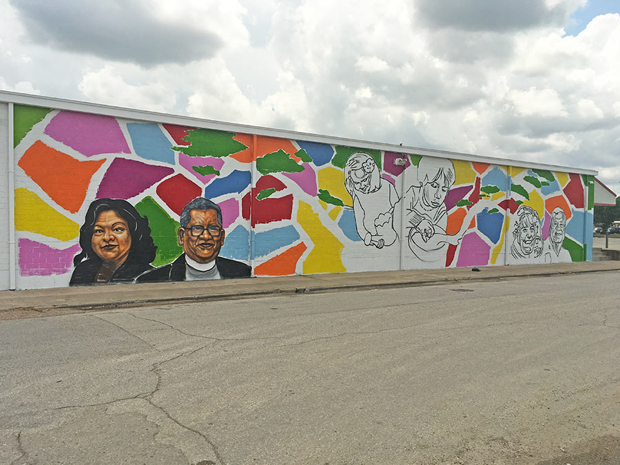
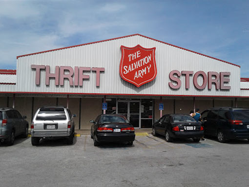
Longtime Gulfton activist Tammy Rodriguez’s likeness is now fully rendered in the mural above, as well as that of Pastor Alejandro Montes, to her right. The pair makes up one third of the population now flanking the Salvation Army store’s west side along Ashcroft Dr. off Bissonnet, a block east of Hillcroft Ave. Chicago-based artist Rahmaan Statik (who got some design inspiration from students at Braeburn Elementary School) plans to have the work complete for an unveiling ceremony this Saturday.
It’s one in a set of 3 murals that public art organization UP Art Studio has planned for each side of the thrift store building — except for the south face, pictured above — as part of a project dubbed “Growing a Brighter Tomorrow in Gulfton.”
Work on the east side began with this preparatory whitewashing:
WHAT IT WOULD TAKE TO BRING SECURITY CHECKPOINTS TO YOUR NEIGHBORHOOD SCHOOL  Following up on Lt. Gov. Dan Patrick’s suggestion of hardening security at Texas schools, Texas Monthly’s R.G. Ratcliffe does the math: “The price of walk-through metal detectors range, in general, from about $3,500 to $5,000 each. There are more than 9,100 public school and charter school campuses in Texas. If metal detectors cost $4,000 each, then the total price tag for equipping the state school buildings would run about $36.4 million.” The problem: that accounting only budgets in one metal detector per campus. Last week, Patrick argued for limiting the ways in and out of Texas’ schools because “There aren’t enough people to put a guard at every entrance and exit.” But, notes Ratcliffe, even New York-style frisk points at each door wouldn’t have defended against other school shooting tactics, like those of Adam Lanza, who “shot out a window made of tempered glass” to get inside the locked Sandy Hook Elementary School. When police arrived at that building, their only option was to bust open a window themselves to enter, momentarily delaying their response to the massacre — which “took about eleven minutes.” [Texas Monthly] Photo: Santa Fe ISD
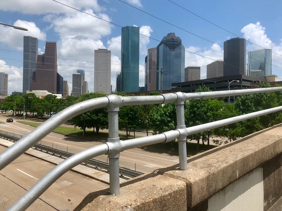
Photo of Memorial Drive: Russell Hancock via Swamplot Flickr Pool
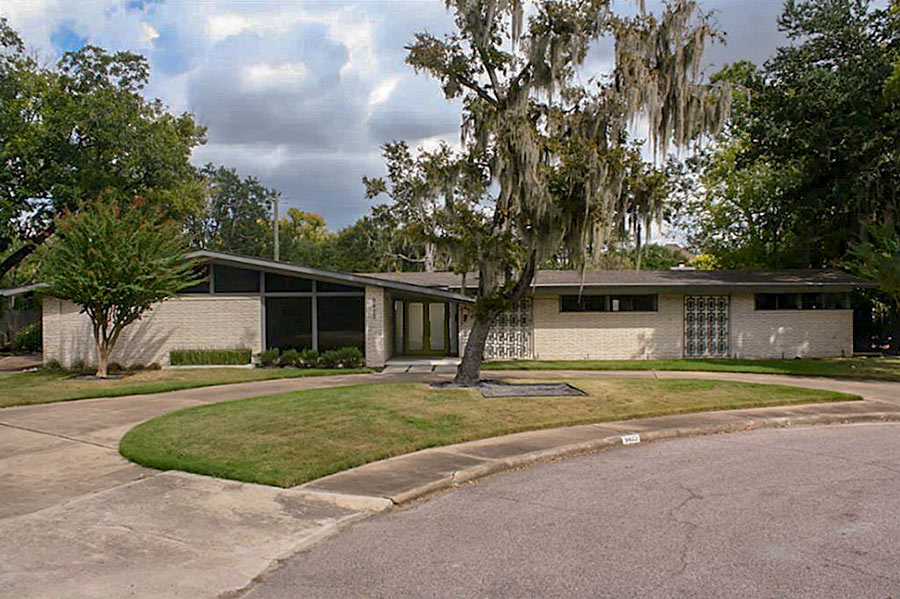
Swamplot’s Daily Demolition Report lists buildings that received City of Houston demolition permits the previous weekday.
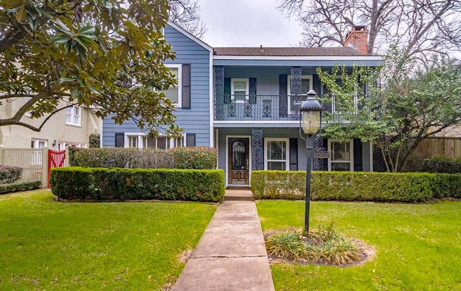
What do we know about these departing abodes?
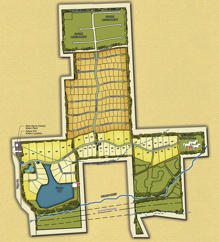
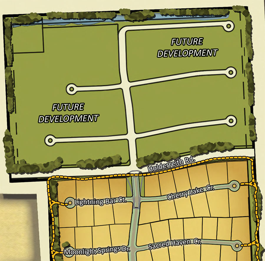
On Houston’s city planning agenda this week: a variance request from Caldwell Communities which seeks permission to forgo building a public north-south street through its planned Willowcreek Ranch neighborhood just north of the Grand Pkwy. in Tomball. Caldwell’s plans currently call for the neighborhood to include just one longitudinal road — a short, private street dubbed Three Bars Trl. It intersects Holderrieth Rd. — an existing public street — at the spot shown in more detail above, the boundary between what’s being developed now and a northern parcel set aside for future building. Because Holderrieth’s 2 nearest junctions with other public streets are currently about a mile-and-a-quarter apart from each other (more than double the city maximum), Caldwell — in building along the road — would be required to create one within its own property.
The reasoning it gives for why it shouldn’t have to: “A public street connection north from Holderrieth is infeasible due to the location of a tributary of Willow Creek,” the development’s namesake. The tributary includes a swath of 100-year-floodplain, shaded lighter blue in the map below:
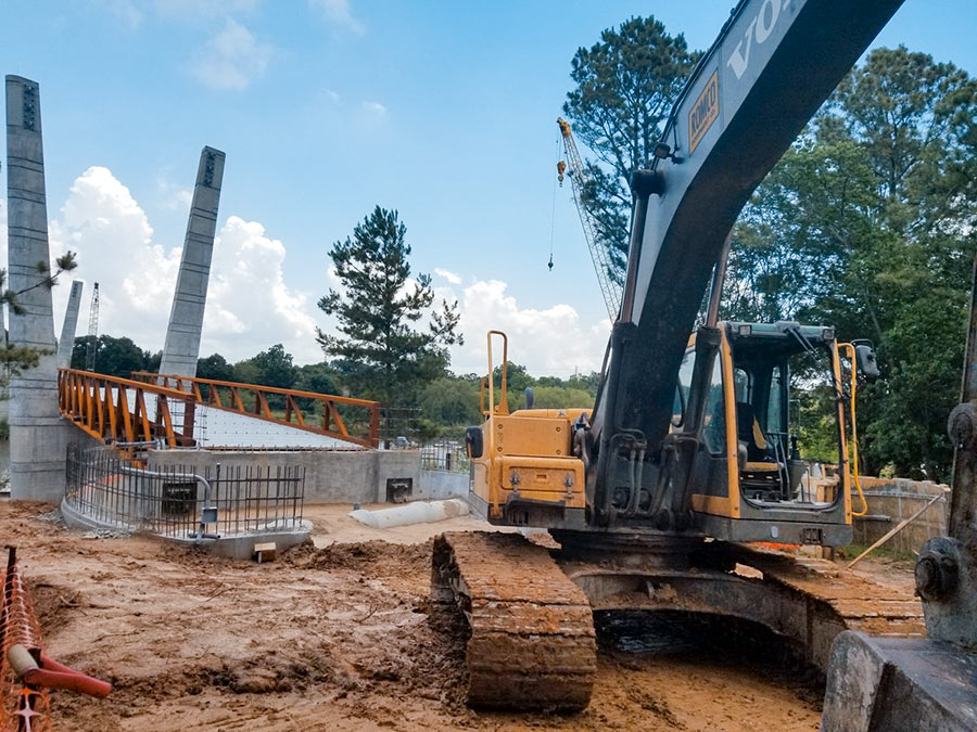
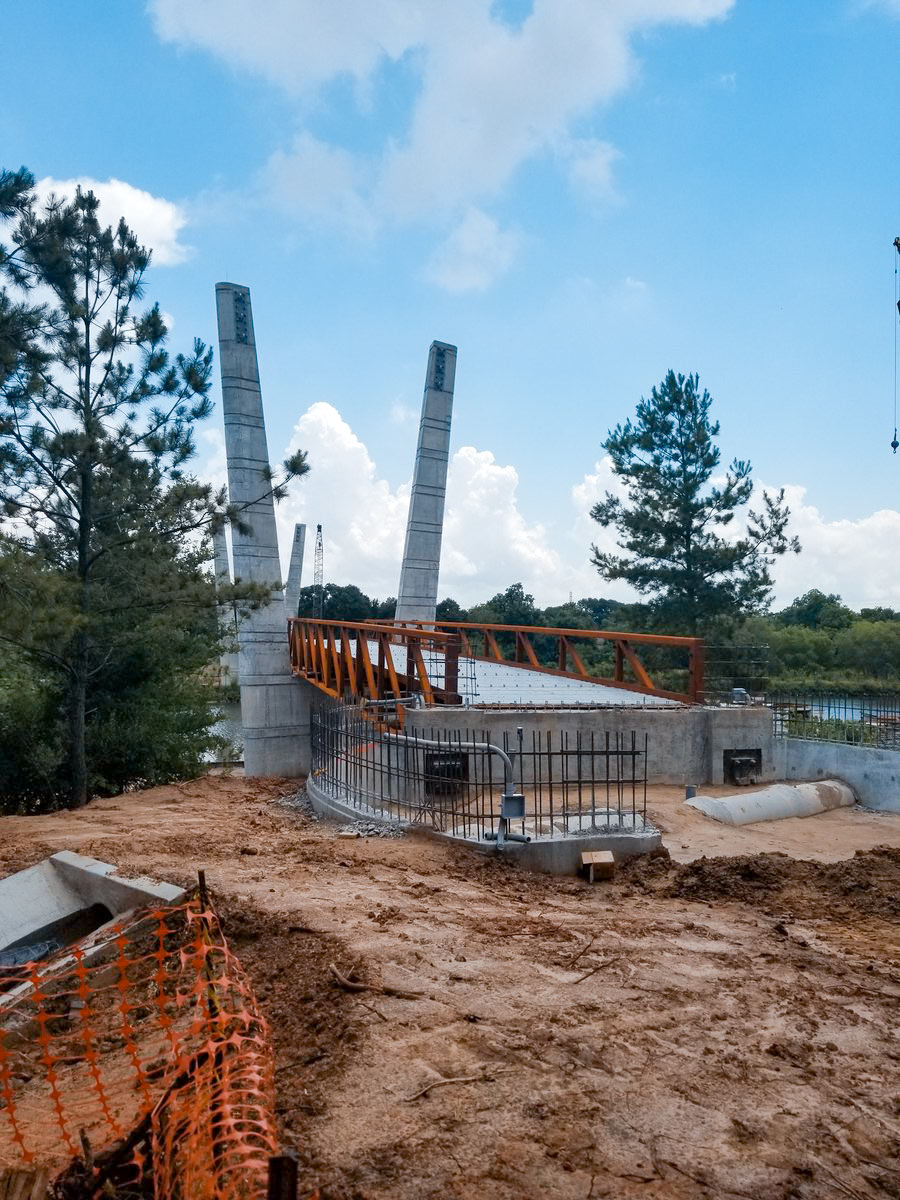
Construction on the new pedestrian bridge going up across Brays Bayou in Mason Park is heading into its 14th month. When it’s done, the 16-ft.-wide, 485-ft.-long structure will provide a link between the north section of the park off S. 7th St., and its southern portion — currently the only part of the 104-acre green space with access to the Brays Bayou Greenway Trail.
The bridge’s landing point on the south side will overshoot the trail by a bit though, as shown in the rendering below:
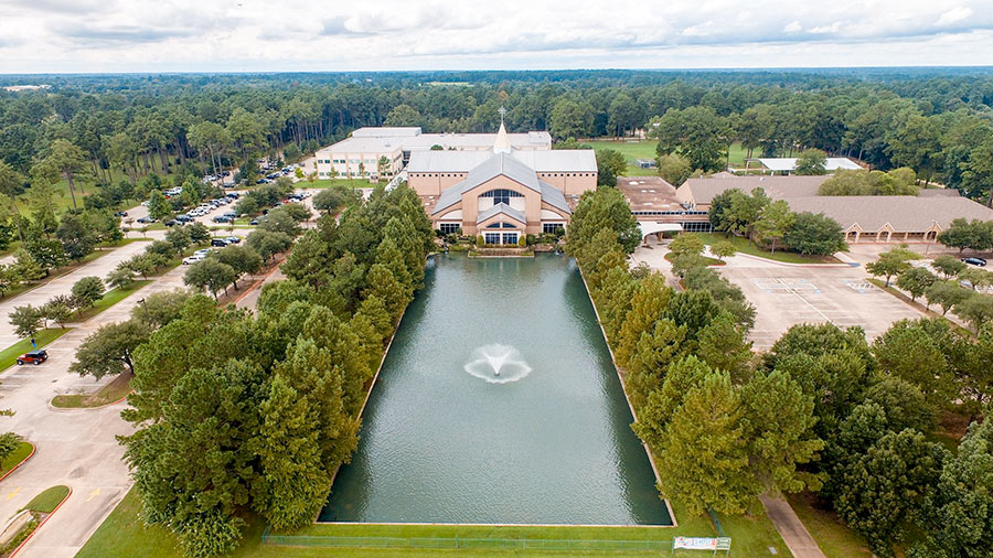
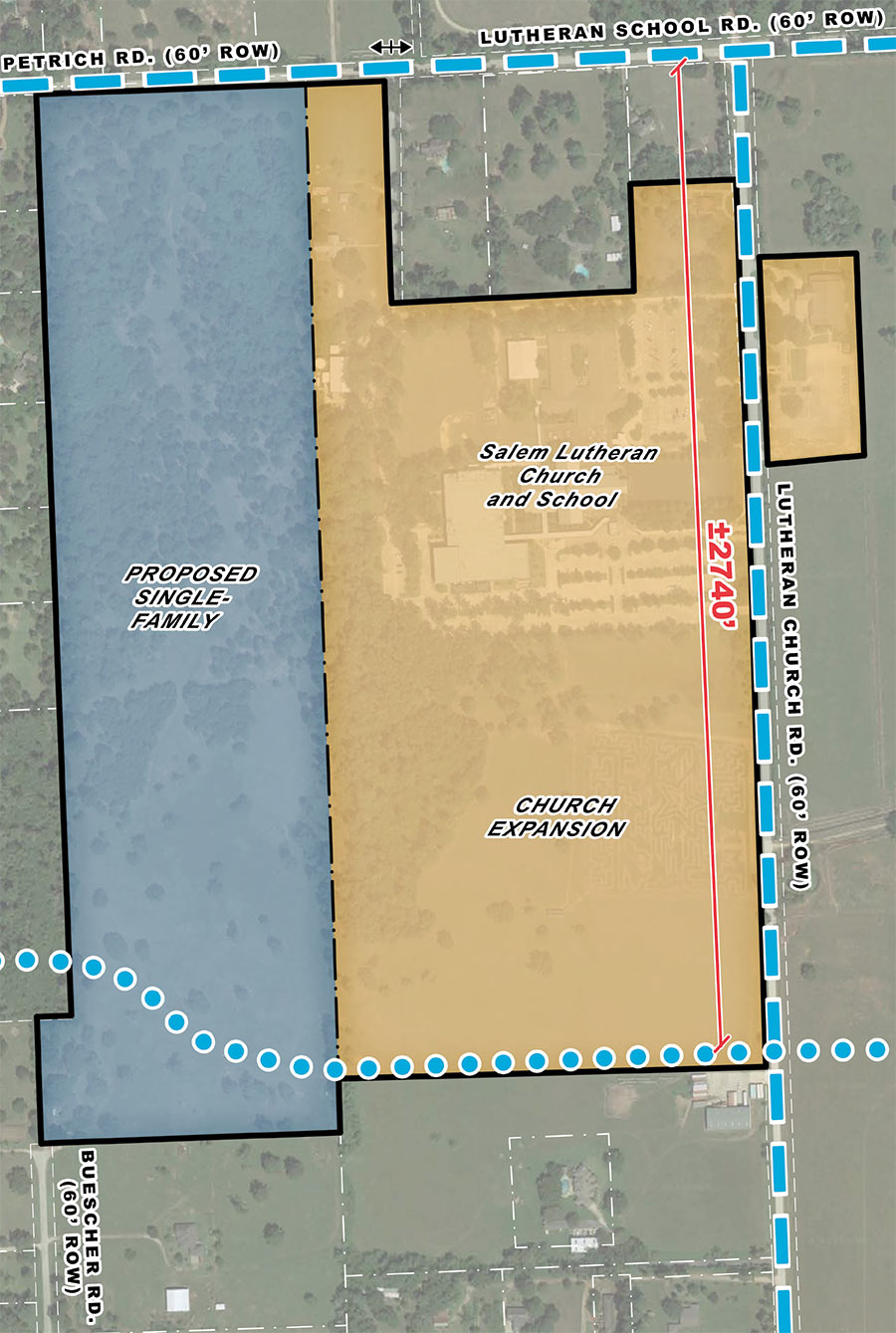
Salem Lutheran Church has plans to expand its current religious and pre-K–8 school campus, which sits just over 2 miles west of Hwy. 249 in Tomball. The idea: to develop roughly 100 acres adjacent to its existing facilities, adding new school structures and landscaping behind the pond-front church building shown in the photo at top, taken from above Lutheran Church Rd. The parking lot pictured on the left would also be enlarged, and a new complex of athletic fields would abut it to the south.
The master plan also includes not only these additions, but also a 73-lot residential area to the far west: