
And people say Houston’s bike lanes don’t get any use! The next time someone gives you that line, there’s no need to bicker. Instead, just invite them out for a beer at Saint Arnold’s new-ish brewing cathedral off I-10. On the way there, you’ll spot the new bike lanes running adjacent to the brewery on both sides of Lyons Ave. And if the conditions in the one on the eastbound side of the street are anything like those shown in the photo above, then congratulations: It should be clear who’s right.
If, however, parked car traffic appears sparse on the day you stop by, there’s only one possible reason why: New signs must have been installed, prohibiting parking in the bike lane. As long as no ordinance exists to ban bike lane parking outright, such signage is the city’s only recourse to outlaw it.
Further east along Lyons, work to add new 6-ft. bike lanes to both sides of the street is underway and — at Jensen Dr. — has already been completed:

 “Remove the freeway configuration of Memorial Dr. from Shepherd to Downtown. An urban street is all that is needed here since this mid-century design was prior to I-10 and was the original route for Katy-bound suburbanites. The bayou is now the destination — not a place to flee at break-neck speeds. Besides, the freeway configuration is useless as it ends prior to Memorial Park. The configuration has exceeded its useful life and is actually in very poor condition. Reasonable thought to an improved alternative is preferred and hopefully includes more park space.” [


 “. . . Metro and the City of Houston should close Main St. to vehicle traffic and make it a bike/pedestrian lane. It’s terribly confusing and extremely slow compared to the lanes next to it and causes more harm than good. People love to hate on bike lanes, but I bet all the haters avoid driving on Main like the plague already.” [
 “I recently moved back to Houston after living in Colorado for a few years. I still find myself in the habit of coming to a complete stop any time that I see a pedestrian attempting to cross a street. In CO, it is state law to stop at any legal pedestrian crossing should someone be there. Many of those crossings have signage that illuminates when the pedestrian presses the button to cross. Some even illuminate the crosswalk itself á la Galleria crosswalks, but it’s expected that you stop whether those are in place or not. Also, most people there abide by the rule of allowing people to cross at major intersections (traffic lights) before passing through in their vehicles; this is something that my fellow Houstonians always honk at me for doing here.” [
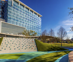 George Ristow’s take for OffCite on the recently unveiledÂ
George Ristow’s take for OffCite on the recently unveiled 
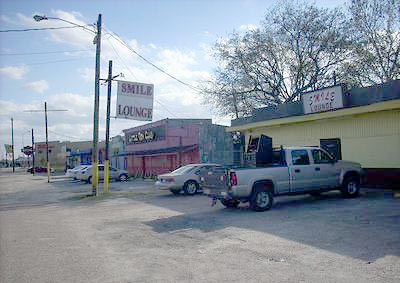
 Wild, Foraging Lower Westheimer... "Pin It")
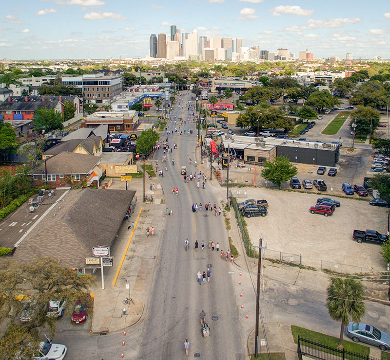
 What’s changed in the last 5 or so years along stretches of

