![]()
- 27 Beacon Hill [HAR]
![]()
7 DAYS OF HARVEY BEFORE THE BRAZOS RIVER REACHES ITS SUGAR LAND PEAK 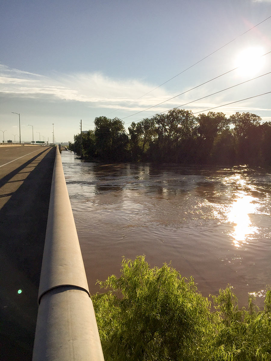 It wasn’t until early this morning that the Brazos River in Sugar Land and Richmond reached its highest level since area flooding triggered by Hurricane Harvey began. And it was a new record, reached at 5:15 am: 55.19 ft., according to the National Weather Service. The previous record, 54.7 ft. — surpassed Thursday at 1:30 am — was set by a flood last year on
 Tax Day June 2nd. The photo here shows the river during a rare moment of sunshine a day earlier than that — from Hwy. 59 where Greatwood, Riverpark, Telfair, and Sugar Land Memorial Park meet. [Houston Chronicle] Photo: Grace Carlson
RESIDENTS NEAR SMART FINANCIAL CENTRE: DON’T WANNA LIVE WITH ‘EM, MAYBE CAN’T LIVE WITHOUT ‘EM  Mike Snyder reports from a dead empty plaza at the new Smart Financial Centre in Sugar Land for the Chronicle this week — utilizing the deserted backdrop for some quiet contemplation and speculation regarding the development’s likely ability to draw long-term business. So-called “destination center” projects like Smart Centre and Town Square are “a big part of [Sugar Land’s] long-term financial strategy to broaden our economic base and keep our property taxes low,” city business director Jennifer Mays tells Snyder — but Snyder and others suggest that a lack of nearby residential development may make it harder for Smart Centre to take off the way Town Square has. Snyder also notes that 900 new apartments were originally planned near Smart Centre, but were nixed on account of objections from “residents concerned that renters would increase traffic, crowd schools and damage their suburban lifestyle.” [Houston Chronicle; previously on Swamplot] Photo: Smart Financial Centre

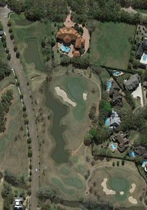 The 7-bedroom house at 5124 Palm Royale Blvd. isn’t the only one of the street’s “10,000-plus-square-foot Mediterranean extravaganzas” (as archi-historian Steven Fox put it to Lisa Gray on a Sugar Land driving tour a few years back) to cuddle up against a couple of the golf fairways winding through the neighborhood. (The 12,400-sq.-ft. house may well be one of the homes most directly in the line of incoming golf balls, however.) Inside, the 1995 house is fully coated with intricate calligraphy, carvings, and geometric patterns; the massive star-shaped chandelier above dangles through a star-shaped hole in the second floor, coming to rest above the indoor courtyard-style fountain.
To get to it, you’ll need to dodge the pride of lions ringing the other fountain out front:
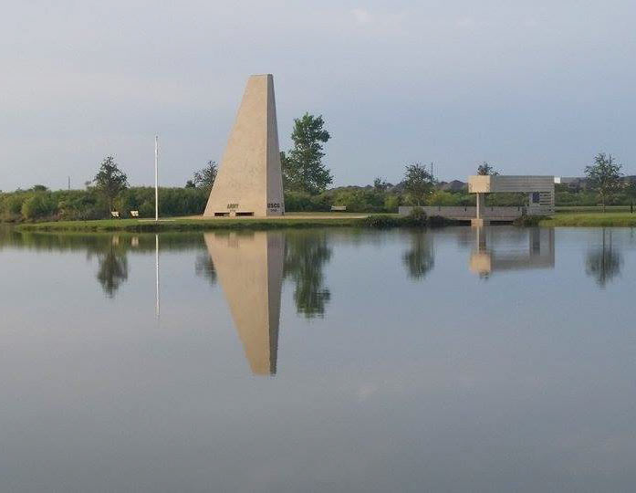
A fresh shot shows the veteran’s memorial at Sugar Land Memorial Park last weekend, which has been relatively high and dry since its brief closure following all that June flooding along the Brazos. The park is right alongside the river channel (southeast of the 59 crossing, where University and Commonwealth boulevards meet), and is designed to protect and serve the surrounding neighborhoods by storing excess floodwater in a pinch. The memorial is also designed to showcase tilt-up concrete construction methods (and was the focus of the Tilt Up Concrete Association’s annual tilt-up-related do-gooding project in 2013). Here’s an aerial view from early June from the Sugar Land Parks & Recreation folks, showing exactly why this year’s Memorial Day event at the park was cancelled (and why the neighboring Pawm Springs Dog Park, in the foreground, was closed):
