06/22/18 12:30pm

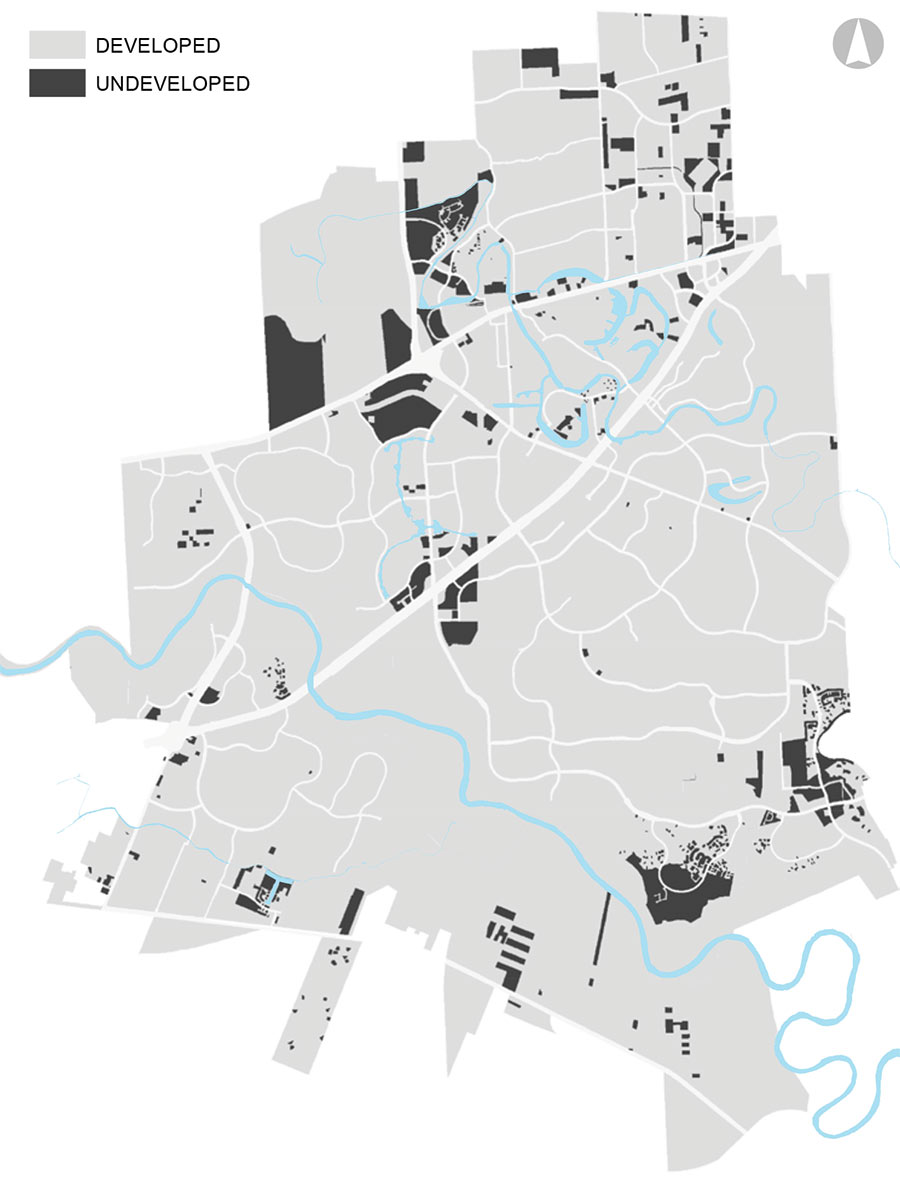
Here’s a nugget from the latest draft of Sugar Land’s 2018 land use plan: the map above, showing the 7% of acreage that still hasn’t been developed within the 32.2-sq.-mi. town and its roughly 20 sq.-mi. of extraterritorial jurisdiction. The thickest road running diagonally through the gray matter is the Southwest Fwy.; it’s intersected and then paralleled by Hwy. 90 to the north. Conspicuously blackened: the area on the top left edge indicating a tract west of Sugar Land Regional Airport and adjacent to the Chelsea Harbour subdivision off 90. There’s another vacancy along the Brazos River, way far south near FM 2759. And a few gaps show up between the hodgepodge of industrial buildings in the northeast corner of town.

A more detailed map below color codes what all that land — built and unbuilt — was used for as of 2016:

CONTINUE READING THIS STORY

Black Holes
05/01/18 2:30pm

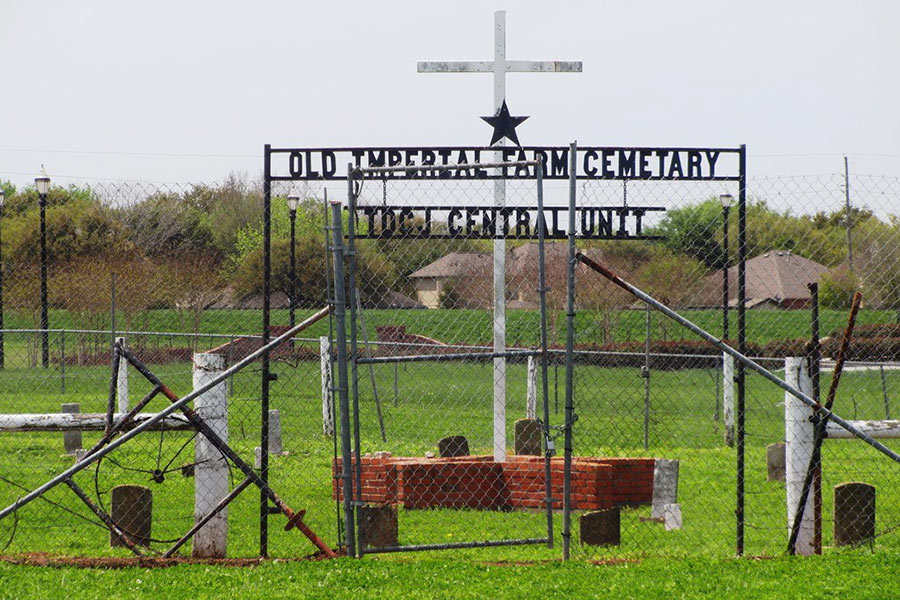
SUGAR LAND’S CONVICTS-FOR-LEASE PAST UNEARTHS ITSELF OFF UNIVERSITY BLVD. Crews at work on the new Sugar Land school building — dubbed The James Reese Career and Technical Center — at the corner of Chatham Ave. and University Blvd. made unexpected human contact in the middle of last month, Fort Bend ISD spokesperson Veronica Sopher tells Click2Houston’s Syan Rhodes: “We were back-filling into a trench when we found some remains, or what we thought could be remains.” The caretaker of a graveyard less than a mile away — which sits on the former Imperial State Prison Farm — wasn’t surprised. Having overseen the Old Imperial Farm Cemetary (pictured above with the same errant spelling) for nearly 20 years — reports the Chronicle’s Brooke A. Lewis — “[Reginald] Moore believes it’s just part of a larger graveyard that includes the remains of those who were part of the convict leasing system,” a statewide program through which Texas allowed mostly black prisoners to be contracted out for free labor shortly after slavery was outlawed. Fearing damage to the then-undiscovered grave sites, Moore “relentlessly pushed city and school officials to study the open area near the cemetery and urged them not to build nearby,” but construction began anyway last November. It’s now being held up in the area where the inadvertent exhumations took place. [Houston Chronicle; more] Photo: Historic Houston
04/26/18 3:30pm

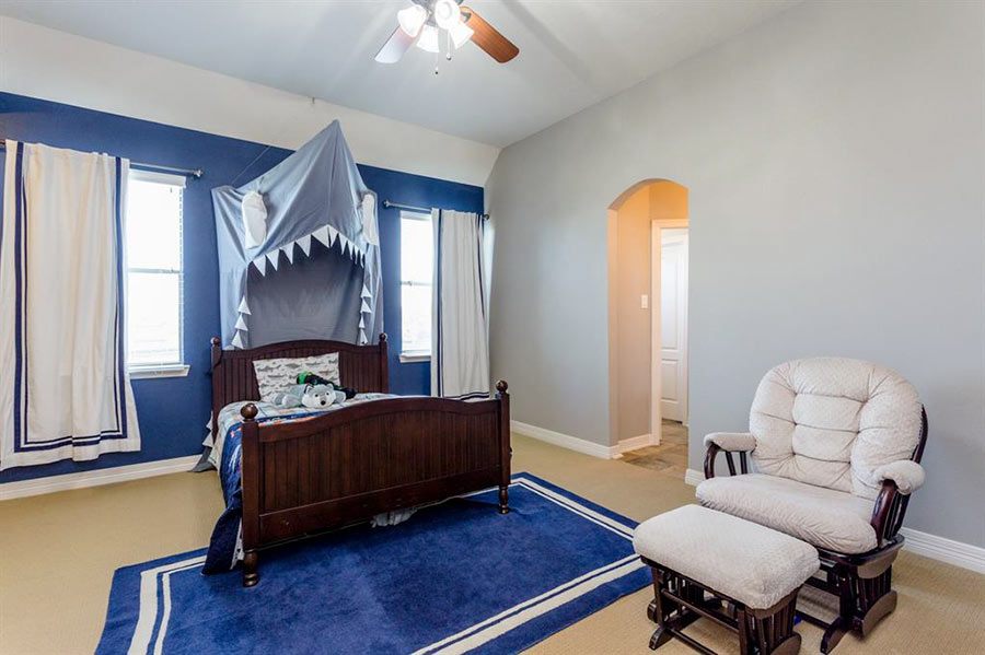
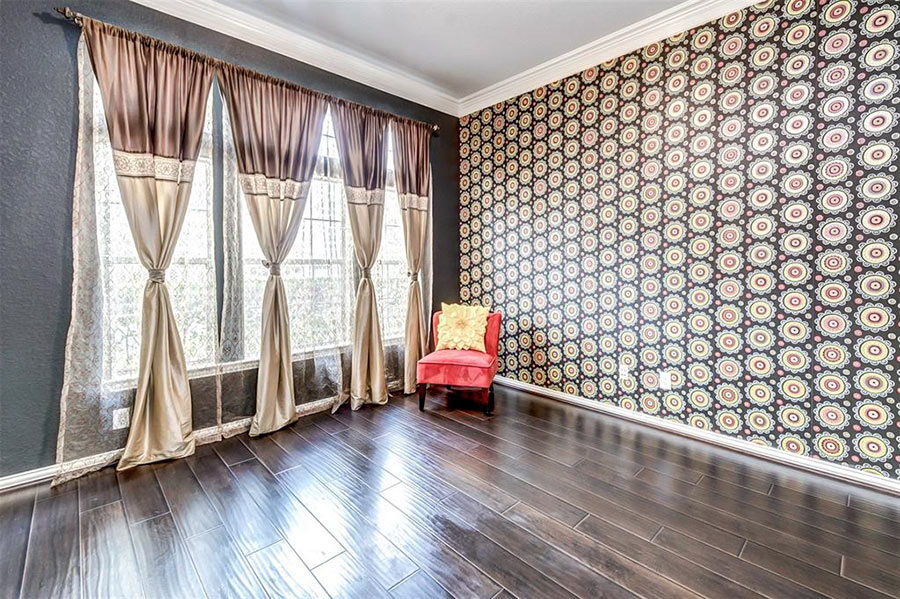
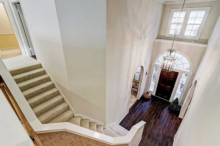
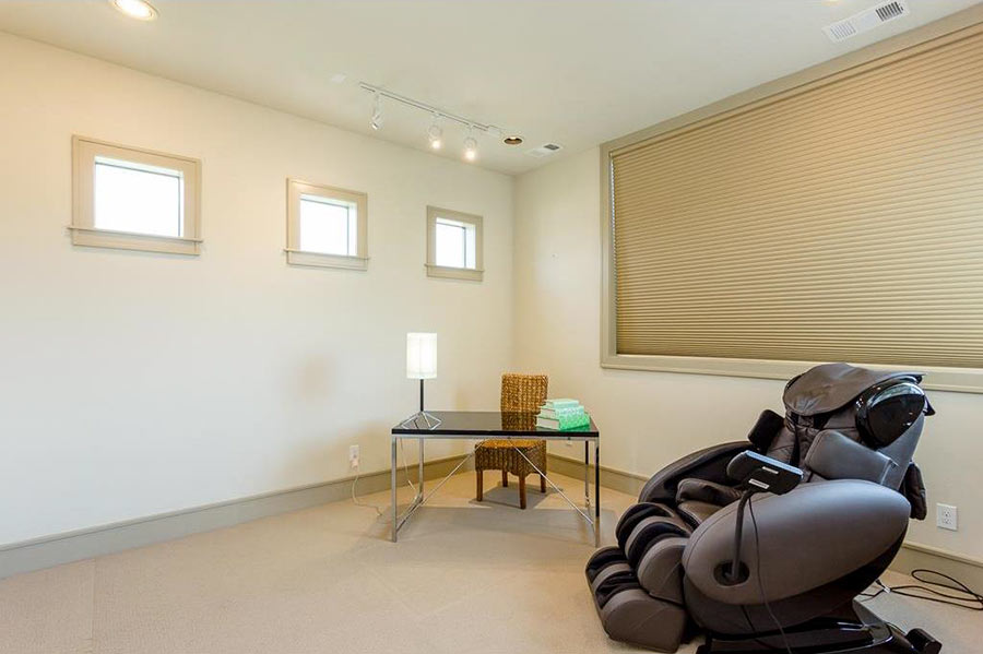
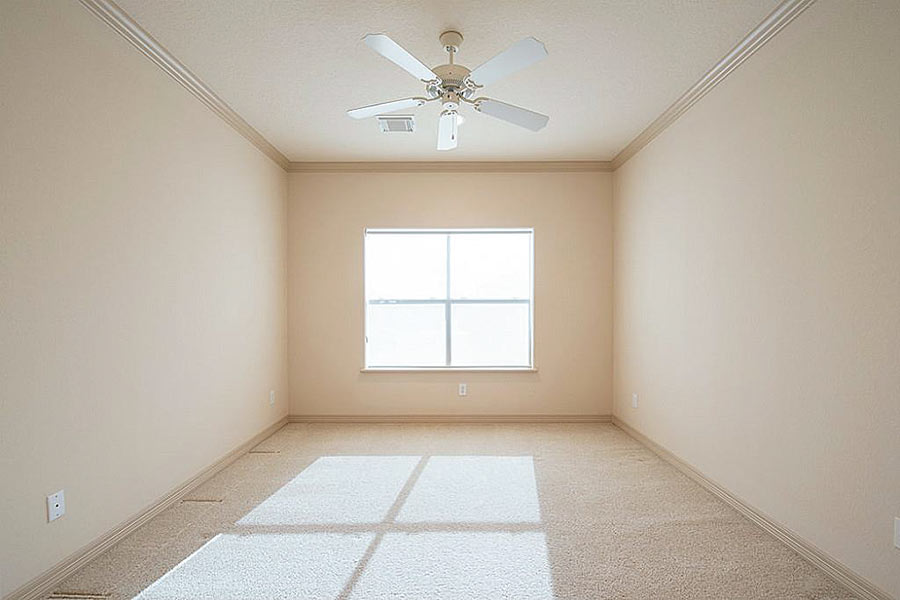
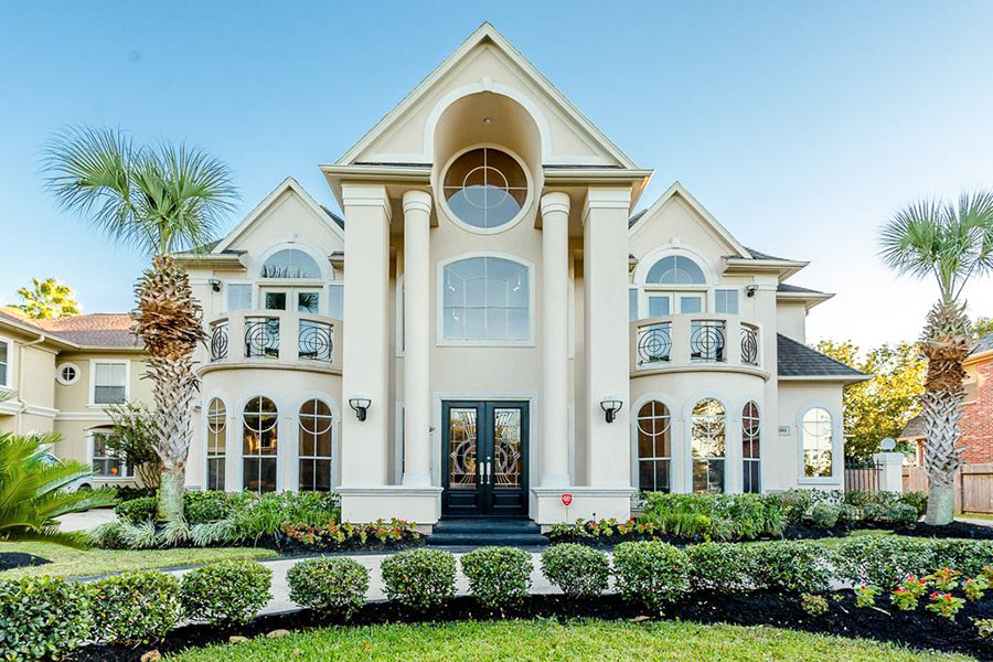
Once you get in, 5501 Regency Dr. provides 2 options for how to ascend. The 5,120-sq.-ft., 5-bedroom house hit the market yesterday with an asking price of $1,098,000. Across the street from it is the far west cove of one of the numerous ponds that water the surrounding neighborhood, dubbed Waters of Avalon.

The only thing hidden from the front doorway is the baby grand:

CONTINUE READING THIS STORY

Waters of Avalon
04/10/18 4:30pm

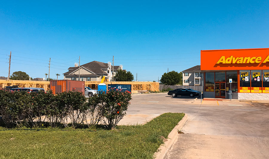
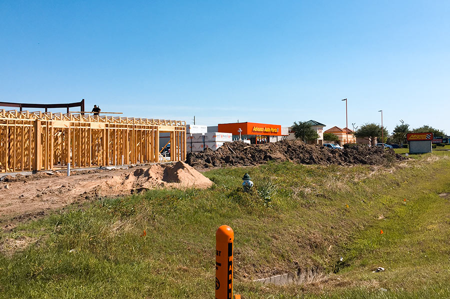
The frame is up for the first floor of the hotel that’s under construction just north of the Royale Woodbridge Plaza shopping center at the corner of S. Hwy. 6 and W. Airport Blvd. The 1.27-acre former field where the building is now semi-standing directly neighbors Advance Auto Parts’ sole Sugar Land location (not to be confused with that of AutoZone, situated diagonally across the street).

Guests with rooms furthest away from the auto shop will have a view of the drainage ditch that runs along the other side of the property:

CONTINUE READING THIS STORY

Sugar Land Hospitality
09/01/17 7:00pm

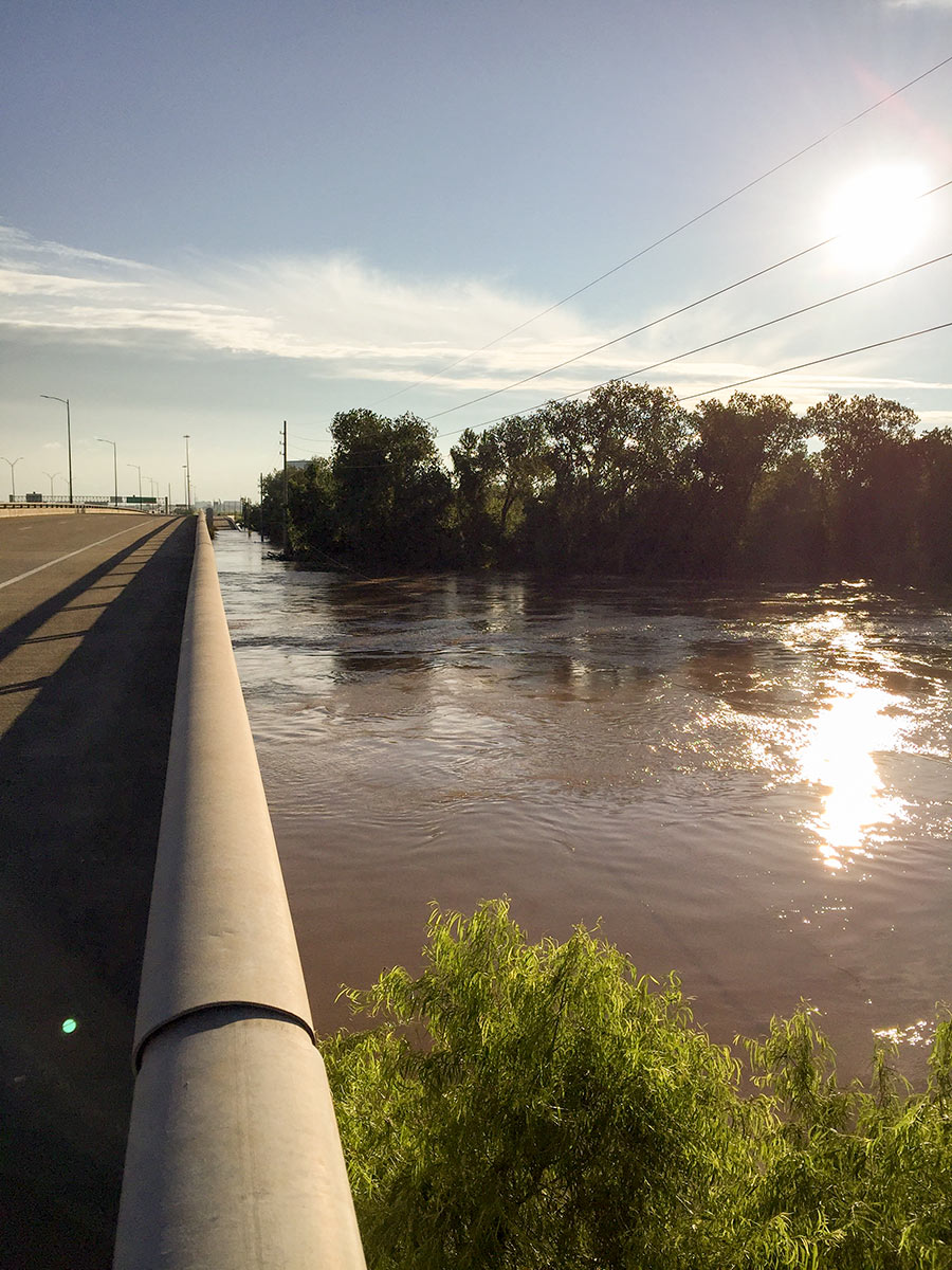
7 DAYS OF HARVEY BEFORE THE BRAZOS RIVER REACHES ITS SUGAR LAND PEAK It wasn’t until early this morning that the Brazos River in Sugar Land and Richmond reached its highest level since area flooding triggered by Hurricane Harvey began. And it was a new record, reached at 5:15 am: 55.19 ft., according to the National Weather Service. The previous record, 54.7 ft. — surpassed Thursday at 1:30 am — was set by a flood last year on Tax Day June 2nd. The photo here shows the river during a rare moment of sunshine a day earlier than that — from Hwy. 59 where Greatwood, Riverpark, Telfair, and Sugar Land Memorial Park meet. [Houston Chronicle] Photo: Grace Carlson