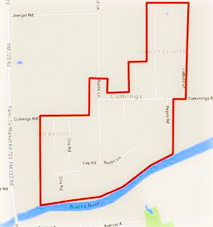
 Residents of the Rio Brazos area near Cumings Rd. north of Rosharon are being advised as of this afternoon to boil their tap water until further notice, while the Fort Bend County Fresh Water Supply District 2 sorts out possible problems stemming from a flood-related loss of water pressure in the network. (The map included here has been added to the Fort Bend County emergency office’s Facebook page following a brief online outpouring of confusion as to what neighborhoods the warning was actually targeting.)
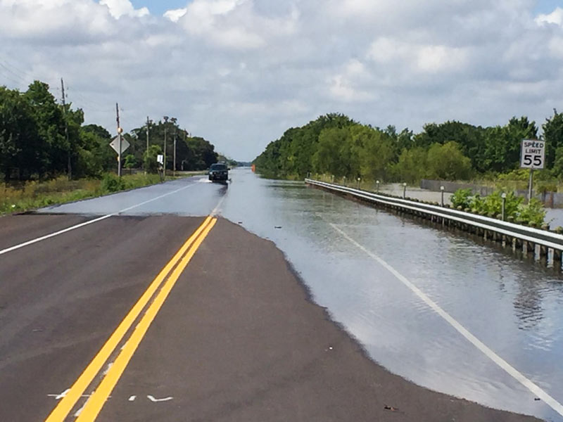
Meanwhile, TXDOT is still listing dozens of miles of roadways as covered by to high water as of this morning, with more closures expected as Brazos floodwaters drain southwest toward Angleton and Freeport. Here’s Brazoria County’s latest worst case scenario potential floodmap, with the county’s mandatory evacuation zones now stretching across more than 15 miles from roughly Brazos Bend State Park to the outskirts of Angleton:


