WHERE YESTERDAY’S SEWAGE OVERFLOWS FLOWED 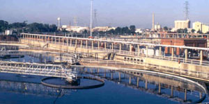 Yesterday’s floodwater caused diluted sewage releases from the 69th St. Wastewater Treatment Plant, located near the crossing of 69th St. over Buffalo Bayou (just upstream from the new Buffalo Bend Nature Park and the Port of Houston Turning Basin). Houston Public Media notes the city’s rundown on where and how much: “The estimated volume of released wastewater as of 6 p.m. Wednesday was approximately 500,000 gallons at Halls Bayou at US 59 at Parker Rd.; approximately 160,000 gallons at White Oak Bayou Near Interstate 45 N. at Wrightwood St.; and approximately 500,000 gallons at Buffalo Bayou near the University of Houston Downtown, officials said.” The city also says anybody using their own private water wells in those areas should get them checked out (and boil water in the meanwhile). The 69th St. plant is the city’s largest wastewater facility, as well as a production site of Hou-Actinite fertilizer. [Houston Public Media; previously on Swamplot] Photo of 69th St. Wastewater Treatment Plant: Webber
Tag: Magnolia Park
WAIT, DID THE 2008 RECESSION UP THE CHANCES OF A FUTURE HOUSTON CHEMICAL CATASTROPHE? 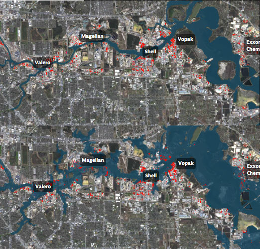 Roy Scranton imagines “a wave of water sweeping toxic waste into playgrounds, shops and houses” in Magnolia Park in his op-ed this morning, written after touring the Ship Channel and speaking with the local A&M and Rice research teams pushing for variations on a series of region-scale coastal barriers to hunker down behind whenever the next gigantic hurricane hits the Houston region, in hopes of avoiding deadly flooding and catastrophic chemical spills. But the researchers tell Scranton that pushing for federal and state funding for a response is a slow endeavor; Jim Blackburn (a main player on the Rice team) tells Scranton that he’s “heard more than one person say our plan is to wait until the next hurricane comes, then depend on guilt money from Washington to fix the problem.” Scranton writes that the best chance for that guilt money so far might have been in 2008, when Hurricane Ike landed just 30 miles northeast of the zone that modelers say could have caused thousands of deaths and irreparable ecological devastation to the area, on September 13th — 2 days before the Lehman Brothers filed for bankruptcy, pulling global attention and national funds to other issues as markets began to crash. [NY Times; previously on Swamplot] Model maps of potential storm surge flooding along the ship channel, with chemical storage marked in red: Texas Tribune
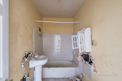
- 7617 Ave. I [HAR]
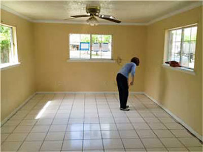
- 7838 Baltimore St. [HAR]
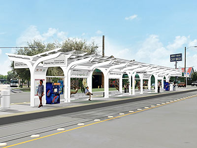
In honor of “nearly” reaching what it describes as the halfway point in constructing the new East End light-rail line, Metro is releasing this rendering showing what it’ll look like when riders reach the track’s end. It’s a view of the station at the Magnolia Park Transit Center on Harrisburg at 70th St., the line’s easternmost reach. For the most part, the basic structure of each station will be identical steel constructions with glass canopies — much as they are on the existing Main St. line.

