08/21/17 8:30am

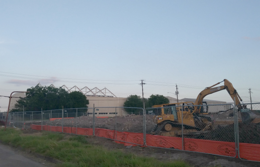
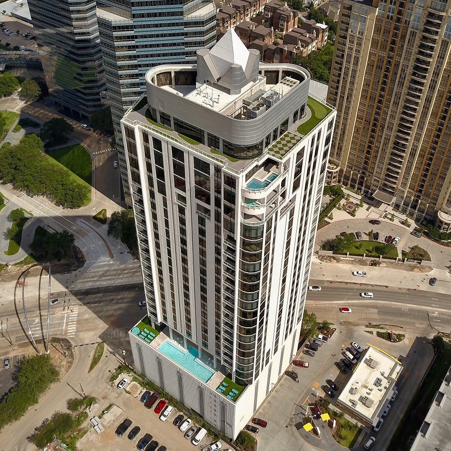
Photo of the Astoria and adjacent McDonald’s on Post Oak Blvd.: Russell Hancock via Swamplot Flickr Pool

Headlines
08/18/17 4:15pm

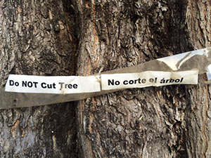
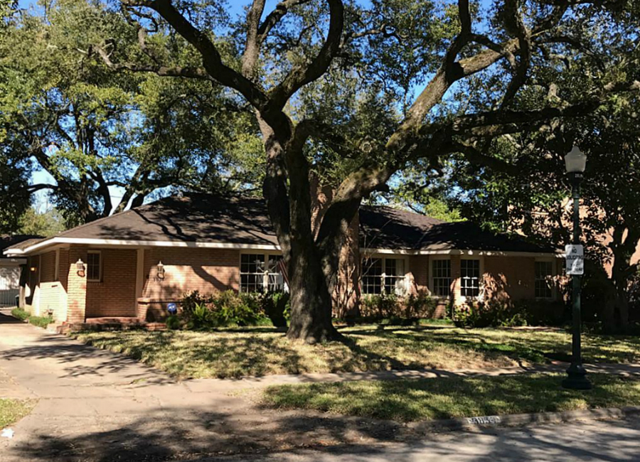
RESTRICTIONS ON MUNICIPAL TREE ORDINANCES CUT DOWN, SIGNED BY GOVERNOR The special session of the Texas Legislature ended without passing a law — which Governor Abbott had wantedbanning cities from regulating owners’ rights to cut down trees on their property. But the Lege didn’t exactly leave the issue alone, either: HB7, signed into law earlier this week by Governor Abbott and scheduled to go into effect on December 1, prevents municipalities (that haven’t already done so) from charging homeowners a fee for trees cut down on their property that are smaller than 10 in. — and requires cities that levy any mitigation fee for cutting down larger trees to also allow a credit for planting 2-in.-diameter replacements. The credits would be required to range from 40 percent to 100 percent of the fee itself; if the property is an owner-occupied residence, the credit would have to equal the mitigation fee. [Houston Chronicle ($); bill text; previously on Swamplot] Photo: Swamplot inbox
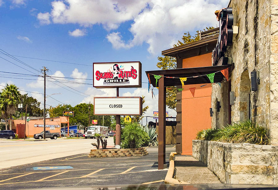
08/18/17 2:15pm

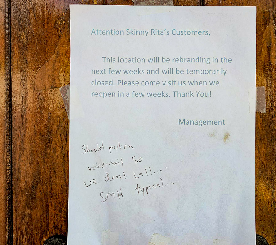
The sign at the Skinny Rita’s Grille at 4002 N. Main St. in Brooke Smith now states that the Mexican restaurant inside has closed, but a note on the door from “Management” is a little less definitive: “This location will be rebranding in the next few weeks and will be temporarily closed,” reads the undated notice — already annotated by a handwritten visitor complaint requesting the information be added to the company’s outgoing phone message. “Please come visit us when we reopen in a few weeks.” The restaurant followed in the footsteps of a sequence of differently branded Mexican restaurants in the same location when it opened at the site, which is bounded by Walton and Melwood streets, in 2014. A Montrose Skinny Rita’s Cantina closed down at 607 W. Gray St. earlier this year, after less than a year of operation.

Photos: Margo

Relabeling
08/18/17 12:30pm

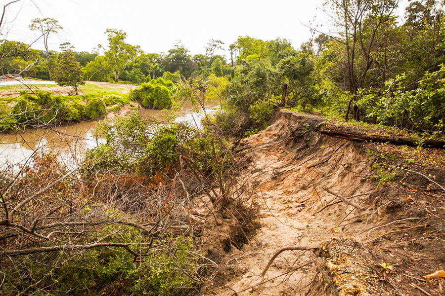
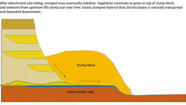
The folks fighting a longstanding battle to prevent the reconfiguration of a section of Buffalo Bayou fronting the southeast corner of Memorial Park and the River Oaks Country Club have posted a remarkable series of images showing how a section of the bayou’s bank at the Hogg Bird Sanctuary responded on its own over the course of 2 years to a soil collapse suffered during the 2015 Memorial Day flood. The geologists behind Save Buffalo Bayou claim that the promoters of the Harris County Flood Control District’s proposed $12 million Memorial Park Demonstration Project they’re trying to stop have mistaken a natural bayou-bank process called vertical slumping (or sloughing) for erosion, and that attempting to stabilize the bayou banks to fix the supposed erosion will leave the area “a wasteland of denuded and weakened banks.”

But you don’t have to buy or even follow the riverine logic the organization steps through in a lengthy article posted to its website earlier this week to appreciate one of the examples of waterway-bank adaptation exhibited there. The first image (at top) shows the immediate aftermath of the Memorial Day storm or 2 years ago on the high bluff facing the bayou at the Hogg Bird Sanctuary in Memorial Park, which stands at the downstream end of the proposed project area. According to the organization, an HCFCD consultant claims that this is one of 4 spots within the bayou area that suffers from severe lateral erosion. But to Save Buffalo Bayou, this isn’t erosion; it’s just a slump, which is what bayous do naturally, and which on their own create the distinctive bluffs on the bayou’s banks. There’s no way to fix a slump, the organization’s geologists say — if left alone it’ll restore itself.

Here’s their photo evidence. The second photo, also from June 2015, shows the slumping — and downed trees:

CONTINUE READING THIS STORY

A Bayou Demonstration Project
08/18/17 8:30am

Photo of Heights Mercantile: Marc Longoria via Swamplot Flickr Pool

Headlines
08/17/17 4:45pm

HOW THE NEW ARCHITECTURE CENTER HOUSTON WILL BATTEN DOWN THE HATCHES WHEN HIGH WATER COMES What’s going to happen to the new exhibition, meeting, and office spaces at the Architecture Center Houston — set to reopen next month in its new location in the ground floor and former boiler room of the 1906 B.A. Riesner Building at 900 Commerce St., next to the Bayou Lofts and across from the Spaghetti Warehouse Downtown — in the very likely event that floodwaters rise from nearby Buffalo Bayou? Kyle Humphries of Murphy Mears Architects, the firm chosen to lead the reconfiguration of the space after a competition last year, tells the Architect’s Newspaper’s Jason Sayer that the designers imagined the interior as a bathtub, and accordingly wrapped a quarter-inch-thick plate made of aluminum around the interior on 2 sides: “’Our storefront system that faces Commerce Street is sealed and uses structural steel panels up to 3.5 feet long all along that facade,’ described Humphries. Furthermore, custom fills and seals on the doors (the profiles of which were manufactured in Switzerland) were prescribed with a custom-designed drop-in flood panel that can be operated by one person standing outside.” [The Architect’s Newspaper] Video walkthrough: Murphy Mears Architects

08/17/17 2:00pm

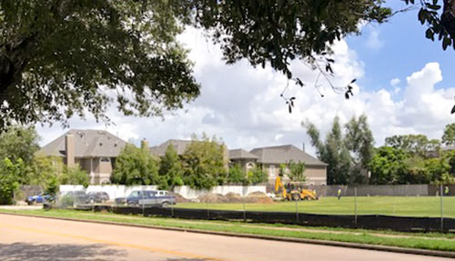
Buckhead Investment Partners tells Swamplot that the work crew, excavator, and large drainage pipes spotted on location yesterday and today at the east end of the site of the residential building known as the Ashby Highrise at 1717 Bissonnet St. constitutes nothing more than “on-going site work.” Multiple permits to construct the proposed 21-story Boulevard Oaks tower have been issued over the past decade — the most recent ones a little less than a year ago. And construction crews have been active on the site before. But Buckhead reports to Swamplot that there is “nothing else meaningful to report at this time.”

CONTINUE READING THIS STORY

Just Digging It
08/17/17 12:15pm

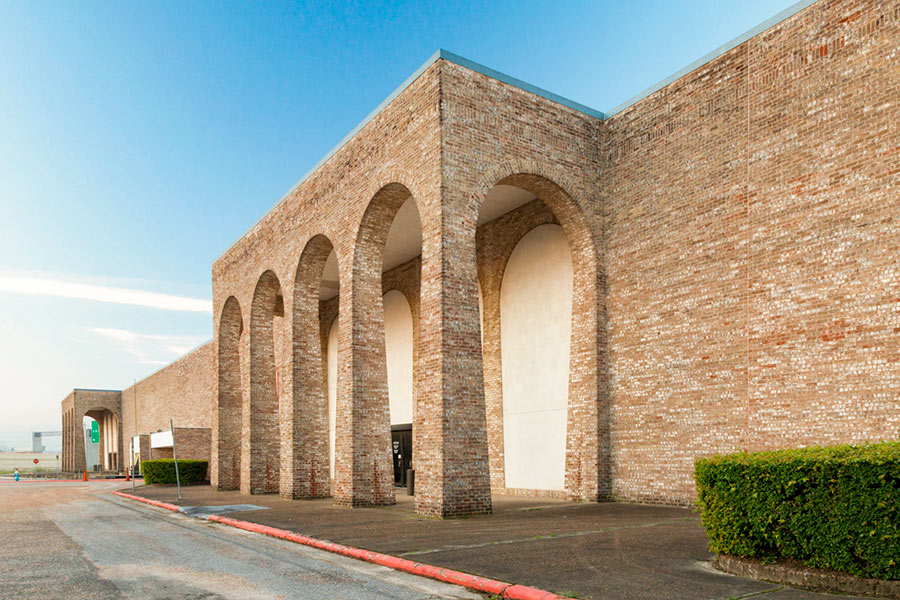
THE RIDE TO THE BULLET TRAIN AT NORTHWEST MALL One piece of the agreement announced by Mayor Turner this morning with Texas Central Partners, the company behind a planned bullet train between here and Dallas: a promise that the city and the company will work together on transit options to and from the train’s Houston station. “In the memorandum,” Dug Begley reports, “Texas Central notes the likely end of their Houston-to-Dallas line will be south of U.S. 290, west of Loop 610 and north of Interstate 10. The exact site has been long suspected as the current location of Northwest Mall.” All but a handful of stores inside the mall shut down earlier this year. [Houston Chronicle ($); previously on Swamplot] Photo of Northwest Mall: Levcor  

08/17/17 8:30am

Photo of mural at 1848 Airline Dr.: Marc Longoria via Swamplot Flickr Pool

Headlines
08/16/17 5:15pm

COMMENT OF THE DAY: BIG SIGNS FOR BIG TEXAS CORNERS “I wish they’d rethink the billboard laws in Texas. Allow more and bigger billboards. The billboards could be taxed, and the money earmarked to our State Parks — they desperately need it. Scenic routes could be designated in certain places, and billboards banned there. This would turn the buildings at the intersections of freeways into major advertising opportunities. It wouldn’t matter if the buildings lose money, the giant billboards on the roofs would make whatever profit the owners need. Or they might wind up demolishing the buildings to put billboards up in their place.” [ZAW, commenting on Comment of the Day: The Black Holes Where Freeways Intersect] Illustration: Lulu