

The transit-themed entryway Lennar Homes wants to build to its 39-lot development — dubbed Fulton Station — on the corner of Fulton and Cavalcade will get another shot at city approval when it goes before Houston’s planning commission this afternoon. Lennar’s new residential neighborhood hugs the Charisma Design Studios & Art Gallery Building, west of the southbound stop for METRO’s Red Line in the middle of Fulton St.
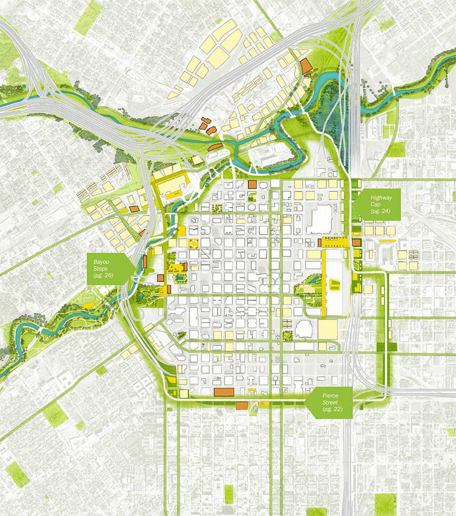
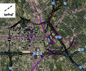
The gated entrance would go at the foot of a private park Lennar has planned just across the street from the rail platform, on the parcel highlighted red in the map below:


 “I’m going to go ahead and disagree on the value of planning. The best parts of the city (19th St, parts of Washington, parts of Midtown) were developed before the city passed Chapter 42, and would be illegal to replicate today.
What has planning gotten our fair city over the past half-century? Here’s a partial list:
1.) Density caps inside the loop (since repealed), driving multifamily development to areas farther away from downtown, increasing sprawl.
2.) 70+ ft. right-of-ways, which, along with our 25-ft setbacks, result in an absurd 120 feet between facades. Compare that to unplanned, human-scaled environments in pre-19th century cities and the result is 25% of land completely wasted, or given over to automobiles instead of people.
3.) Parking minimums, requiring up to 75% of land be given over to car storage.
4.) 25-ft. retail setbacks, which, combined with parking minimums, essentially mandate strip-mall development.
What Houston does well is where it doesn’t ‘plan.’ We don’t segregate residential, commercial and retail. We don’t limit residential density (much) (inside the loop), we don’t cap multi-family density (any more). All those great, walkable places we travel to on vacation have one thing in common: the almost complete lack of planning. And where they did do ‘planning’ it did more harm than good. The gothic quarter in Barcelona is way more charming than the Eixample, and don’t get me started on how Haussmann screwed up Paris.
Lump me in with the anti-planners on this one.” [
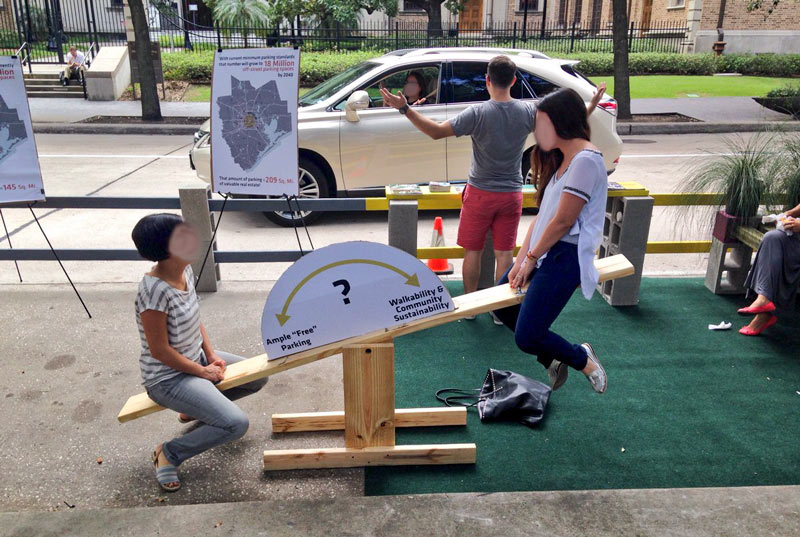 “While I understand, generally, the sentiment behind this initiative, I think in Houston it may be a little misguided. If we want a more walkable environment, with fewer buildings set back behind parking lots, we actually need more on-street parking spaces (to both accommodate business patrons arriving by car and help buffer pedestrians on the sidewalk), and fewer off-street ones.” [
 Taking together a recent rash of of
  Tory Gattis
  “A great comment and right on the money. Houston also needs to take the reins of community building instead of letting developers drive that bus. Subdivisions/neighborhoods are currently created by private developers without any thought to how they relate to adjacent communities, resulting in islands of development unconnected to each other in any meaningful way. How many times have we seen major roads come to a dead end because there’s a subdivision/office park/whatever right in the way? Houston’s lack of long-range regional planning (and no, I don’t mean zoning) is now coming home to roost, and I only hope it’s not too late to change direction. . . .” [