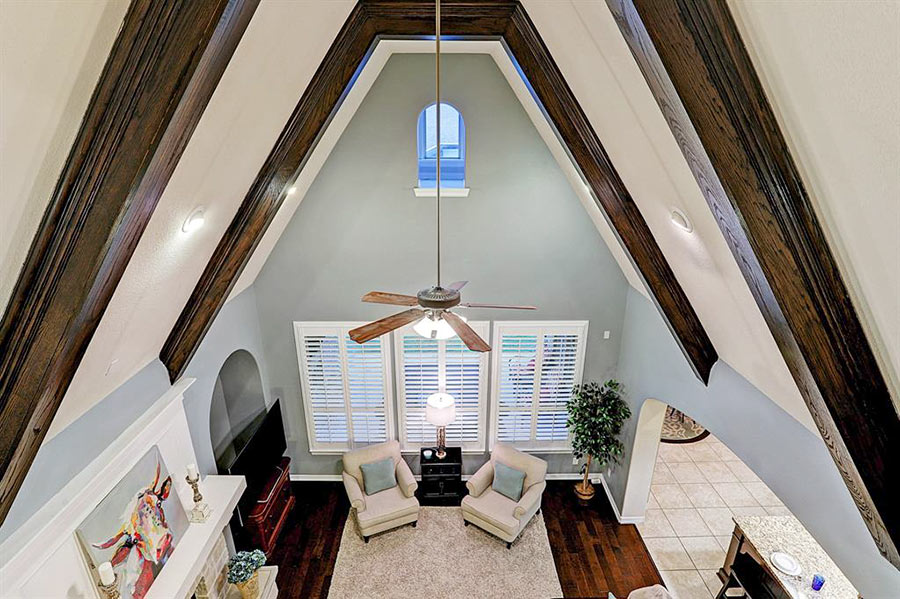
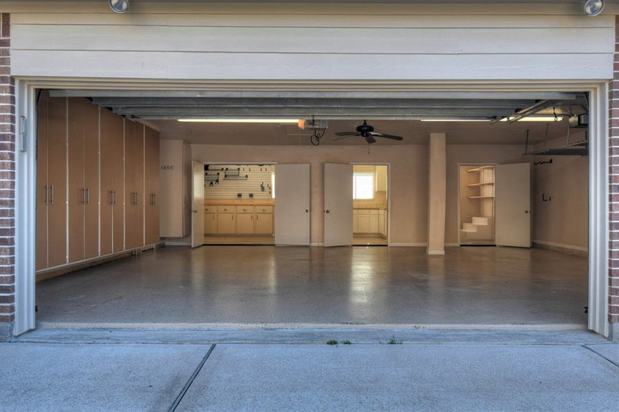
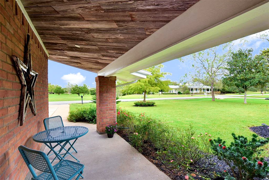
- 1137 Rymers Switch Ln. [HAR]

 Â
 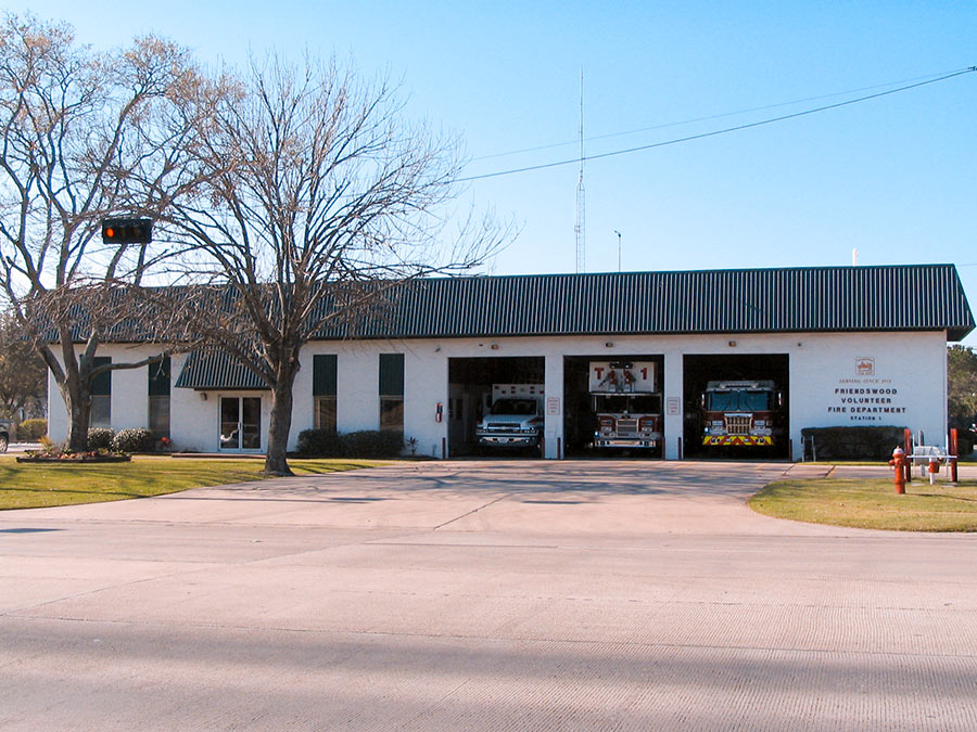
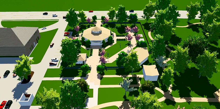
The Friends of Downtown Friendswood withdrew its plan last week to install a new wooden carousel in Stevenson Park next-door to City Hall. Since last November, the site’s been home to a concrete pad left behind when the 42-year-old Fire Station #1 pictured above was demolished and its staff relocated to a new facility at 1610 Whitaker Dr., built with funds from a 2013 bond referendum. By the time of the teardown, the carousel idea (code-named “Project C”) was already on the table, and some residents accused city council of being a little too demolition-happy, owing to their friendliness with the civic organization that proposed it, reported the Chronicle‘s Jeremy Gingrich.
Instead of getting rid of the building, some argued, why not turn its 9,000 sq.-ft. into a community center to double down on the space offered by the city’s existing 9,500-sq.-ft. Friendswood Activity Building shown below at 416 Morningside St.?
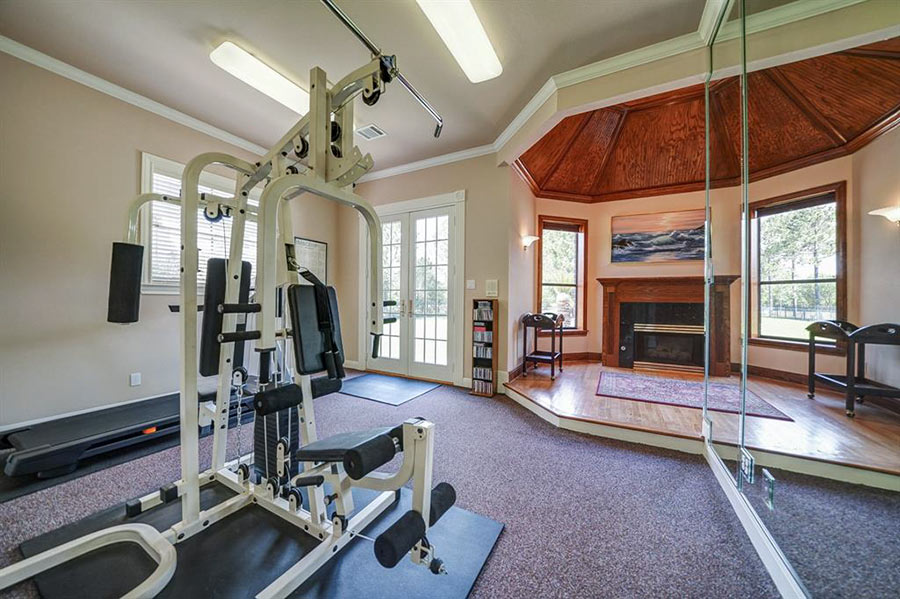
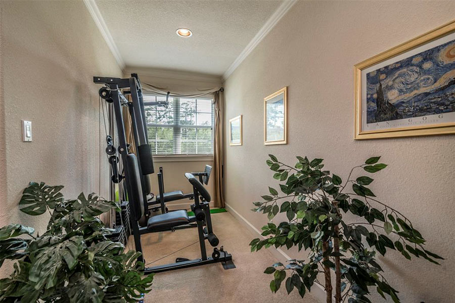
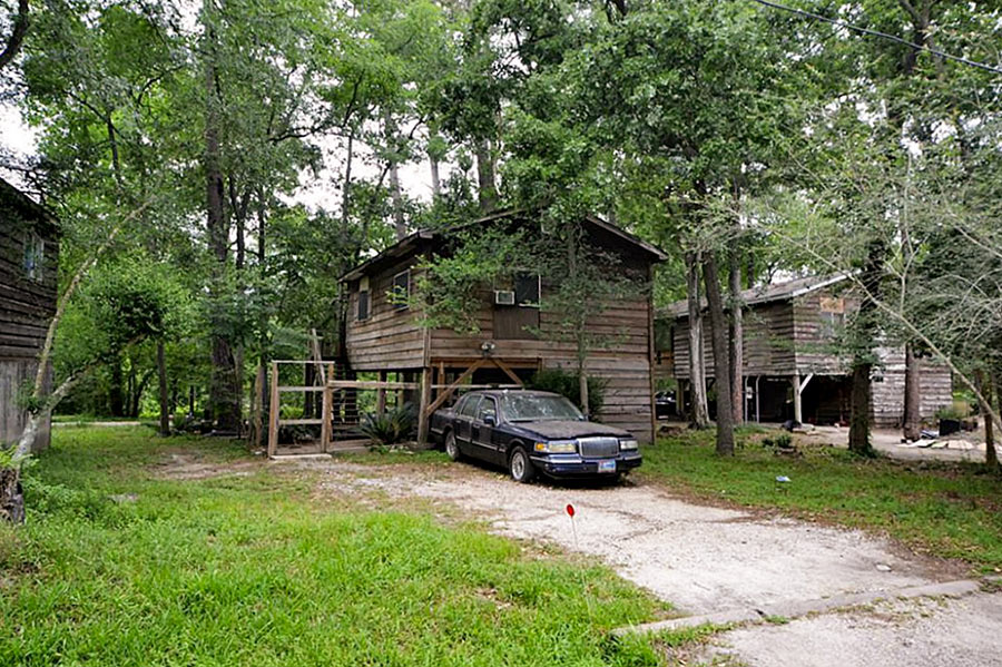
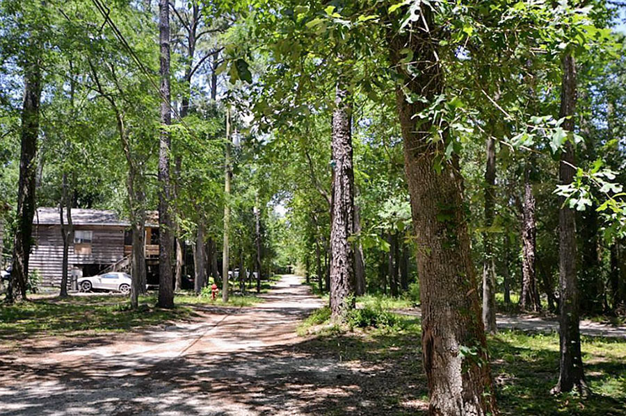
11 partly-elevated cabins off Deepwood Dr. are on the market for $69,499 to $89,499 each, or $680,000 for the whole set. The mini-neighborhood was built between 1955 and 1960, reportedly for members of the New York Fire Department who came to Friendswood (at that time, home only to a small community) for training exercises. Each house is partially, if not entirely, built on stilts.
The lowest address number, 1301, sits halfway down Deepwood, across from the Friendswood Public Works Department. From there, the complex extends southeast. 7 properties, including 1311 Deepwood, shown at top, front the road. The other 4 are accessible only by unpaved paths that branch off into the wooded area adjacent to and behind the street.
The largest, 1,300 sq. ft. at 1315 Deepwood, is one of those 4:
Captured on Sunday between bands of Harvey downpour by an enterprising drone photographer hunkering in Friendswood, the video above includes a quick pan over the Brio Superfund site south of Beamer Rd. near the intersection with Dixie Farm Rd. The former chemical facility, once at the heart of both the long-gone Southbend neighborhood and of the series of lawsuits filed by Southbend residents over contamination-related birth defects and illnesses, makes its cameo around minute 3, as the drone passes over a waterlogged Exxon Mobil station and rotates from south to east down Beamer toward the San Jacinto College South Campus.
Might floodwaters flowing across the Brio site and all those other Superfund spots dotting the local map have stirred up toxin-laced sediments and spread them around? (Texas A&M Galveston scientist Wes Highfield was worried enough about the possibility to attempt a mid-flood outing from his home to try to get some water samples.) In the video, the Brio site appears to be a little less waterlogged than some of its surroundings — including the adjacent section of Beamer Rd., shown picking up a bit of kayak traffic — but likely got washed over by around 42 in. of rain altogether in the past week.
In a follow-up drone run flown on Wednesday, the site (making an appearance about 2-and-a-half minutes in) looks like it might have dried off a bit:
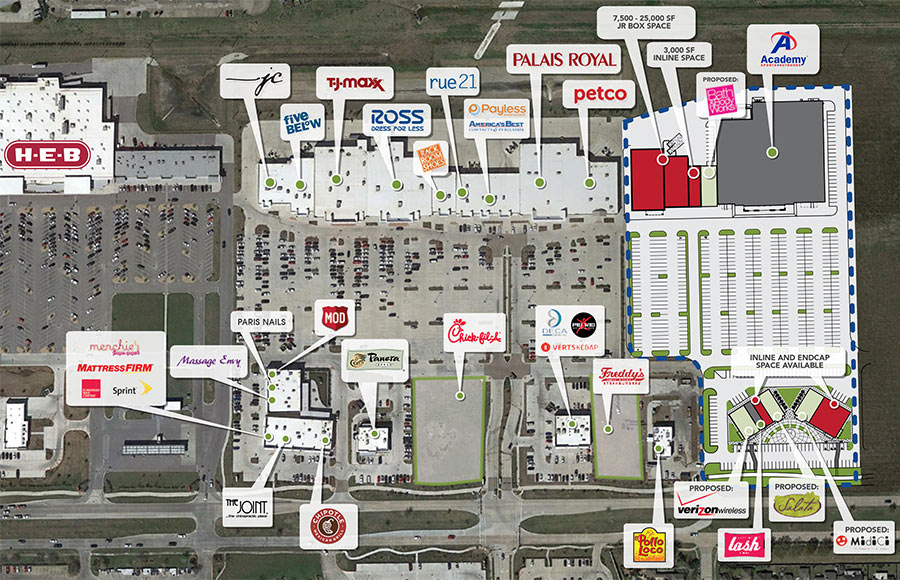
With the newest location coming to the Pearland Pkwy. pad site shown at the center of the image above in the Centre at Pearland Parkway shopping center just behind the H-E-B fronting Broadway, the density of Chick-fil-A restaurants in an axis stretching from FM 518 in Pearland to I-45 in Webster is fast approaching Texas Medical Center–level concentration, and may soon exceed it. (There are 4 Chick-fil-As in the TMC area, 3 of them conveniently located inside hospitals — though no drive-thrus.)
Less than 2 miles to the west along Broadway from the pictured location (expected to open in January) is the Chick-fil-A at FM 518 and Dixie Farm Rd.; further to the east are the spots in the Baybrook Mall and along the Gulf Fwy. at El Dorado Blvd. Between them, and possibly on the horizon, looms the planned Chick Fil A location at the intersection of FM 518 and Leisure Ln. in Friendswood. The owners of that property withdrew a rezoning application that would have allowed restaurant uses on that site after residents complained before the Friendswood City Council in April that adding the Chick-fil-A would make the city too much like Pearland. But a new rezoning request for the same property is up for consideration with the council this week, and the owners tell the Chronicle‘s Dana Guthrie that Chick-fil-A is still very interested in building a restaurant there.
Site plan detail, Centre at Pearland Parkway: Stream Retail
SOUTHEAST AND SOUTHWEST HOUSTON SEARS STORES GOING SOUTH 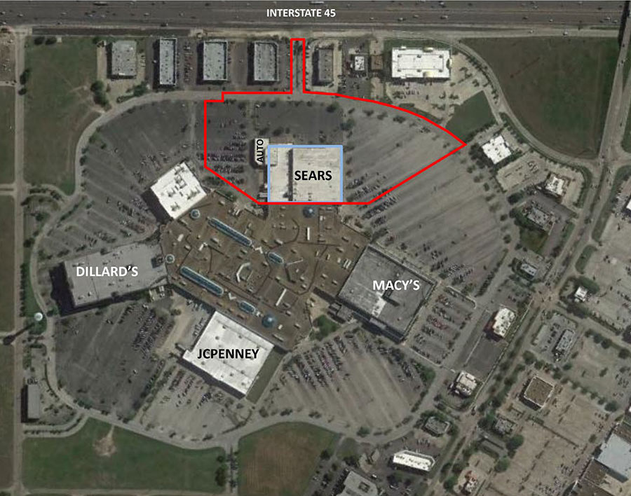 Included in the latest round of Sears store closings: the mall-anchor locations at the Baybrook Mall (off the Gulf Fwy. at Bay Area Blvd.) and the Westwood Mall (off the Southwest Fwy. at Bissonnet). Liquidation sales are scheduled to begin by the end of this month; the stores will shut down completely by the middle of September. This will bring the the number of Sears Holdings stores scheduled to close this year to 265. [USA Today; Business Insider] Aerial view of Sears at the Baybrook Mall: CBRE
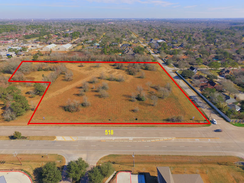
“I don’t think Friendswood needs to become East Pearland,” Eddie Carpenter told the Friendswood city council last week during a public comment session — responding to another speaker’s references to the chain-rich bustle of FM 518 and Pearland Pkwy. as an example of what Friendswood is lacking. What sparked the pair of assertions? A push to rezone the above corner lot at FM 518 and Leisure Ln., currently up for a potential switch from office use to commercial — with word being that Chik-Fil-A and Panera Breads are both interested in setting up shop on the corner. The space is just over a quarter mile down the road from Friendswood’s own relatively restaurant-franchise-dense hub on E. Parkwood Dr., near the town’s H-E-B. The lot in question has been cleared since the listing shot above was snapped, in conjunction with various acts of dirt-pushing.
Image of lot at FM 518 and Leisure Ln.: LoopNet
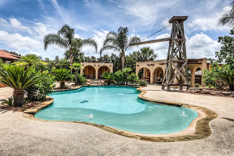

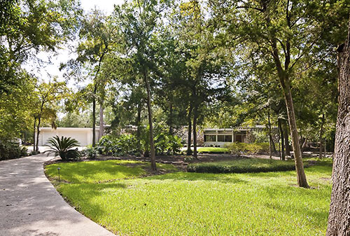
The Stone Age mashes with Mid-Century Modern in Friendswood, where an updated 1961 stunner designed by architect M. Bliss Alexander accents its crisp and clean lines with 12 tons of rock from Wimberly. Listed a week ago with a $1.19 million asking price, the home last sold in 2007, for $585K. It sits on 1.3 acres in the Perry Grove neighborhood, located southwest of Friendswood Dr. and W. Spreading Oaks Ave.
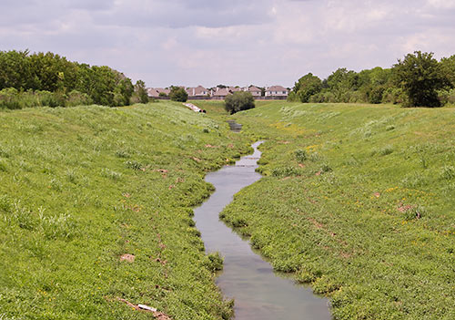
Inspired by reading René Steinke’s new and recently optioned-for-film novel Friendswood, the plot of which centers on the aftermath of the Brio Superfund mess just south of I-45 and the Beltway, Cite magazine’s Allyn West returns to the former chemical waste facility at Dixie Farm Rd. and Beamer Rd. to snap some photos and have a look around: “The first thing you pass is a landfill. And then, incongruously, you pass archetypal subdivisions with bucolic names, much like Southbend must have been. There’s a dedicated bike lane on both sides of Dixie Farm, clearly marked and freshly painted. Then turning toward the site onto Blackhawk Boulevard, you pass Ashley Pointe, a new subdivision. That morning, I saw construction workers milling about around unfinished stick frames. If Southbend still existed, Ashley Pointe would sit right next to it.”