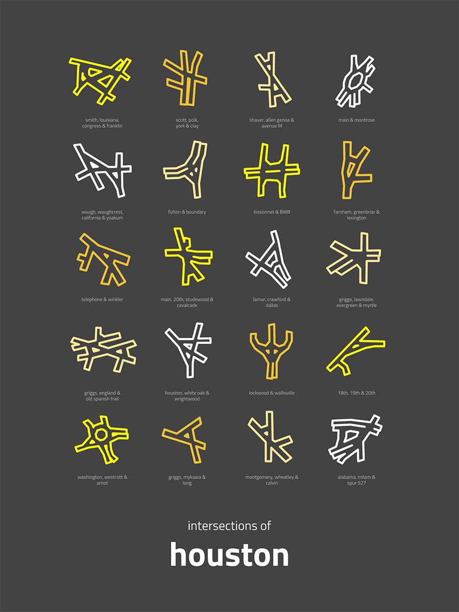
Anyone in the habit of leaving the house knows that Houston’s streets are really best appreciated from a distance. And although he’s not a native, Seattle artist Peter Gorman appears to agree. His recent work, “Intersections of Houston,†shown above, is a series of 20 mini-maps depicting some of the city’s most notably tangled roadway crossings. Some — like the nexus of Scott, Polk, York, and Clay streets (top row, second from the left) — take shape at the borders between Houston’s multiple, incongruous street grids. (The Allen brothers laid out the oldest grid parallel and perpendicular to Buffalo Bayou; later planners favored a more north-south orientation. In both cases, the resulting frameworks are some of the longest-lived legacies of the city. We’ve been stuck with them far longer than most of the buildings they contain.)
Others meander to get around park space: See Lamar, Crawford, and Dallas (third row, third from the left). And then there’s that special subset: intersections that do less to fit into their surroundings than they do to stand out as products of intrepid traffic engineering approaches. Take Lockwood Dr. and Wallisville Rd. (fourth row, third from the lift) for instance; it’s really just a claw-like take on a T-intersection.


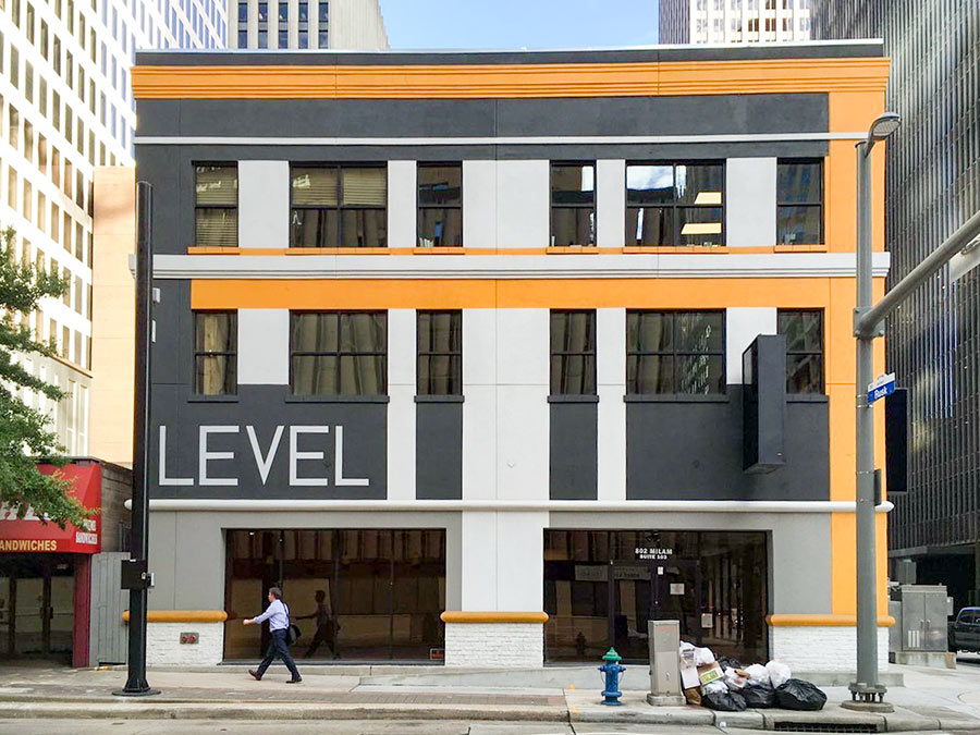 With the shuttering last week of the Subway sandwich shop at the corner of Milam and Rusk streets — catty corner from Pennzoil Place, in the ground-floor space below the Level Office at 720 Rusk St. (pictured here) — the national sandwich chain is now down to a single Downtown location that can be accessed from a sidewalk. Another streetside Subway, in the ground floor of the Americana Building 5 blocks to the south at the corner of Milam and Dallas, exited its space before demolition began on that structure
 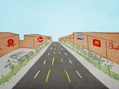 “None of these places achieve anything like the feel of a real town because they abandon all of the design elements which actually create that feeling. There are no real walkable main streets with mom and pop stores lining the sidewalks. No town squares at the heart of real (albeit small) downtowns. It’s all just strip malls and McMansions along freeways and 6-lane collector roads.
If you want a small town feel you have to start with traditional pre-WW2 urban design.” [

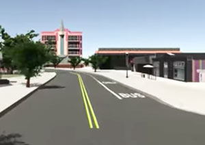
 “There’s even a more simple plan: Make the right lane 12 ft. (or more) and the left lane 10 ft. Don’t stripe new bike lanes or overly alter existing regulations. Don’t plan. Don’t get approvals. Don’t p/o motorists with the silly bike lanes that bikers fear and never use. We just need a little extra space for cars to pass us by. And: Motorists will like having buses and other heavy vehicles in the larger right-lane, too . . . you don’t even need signage.” [
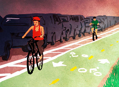 “The plan is really just a recommendation of where to put lanes. The decision of actually putting in the bike lanes in a given spot will be evaluated on a case-by-case basis, mainly as roads are rebuilt. Most of the money can come from TxDOT, TIGER, TIRZs, etc. It’s much easier to get that funding if you have a plan already in place. An example: Maybe your local CIP project involves tearing up a road and replacing it. Instead of repainting the road with the old 12-ft. wide lanes, maybe make them a reasonable 10-ft. wide and spray in a line for a bike lane. That’s a cheap addition to a project that doesn’t involve a lot of overhead that would normally come from a separate project to put in a new bike lane somewhere.” [
 Stumped byÂ
Stumped by 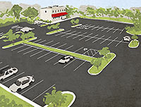 “It’s always frustrating when I hear Houston’s sprawl and prevalence of strip malls blamed on our lack of zoning. You can blame these on the setbacks and parking minimums that came along with Chapter 42, which made it illegal to build walkable neighborhoods.” [