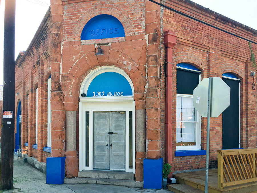
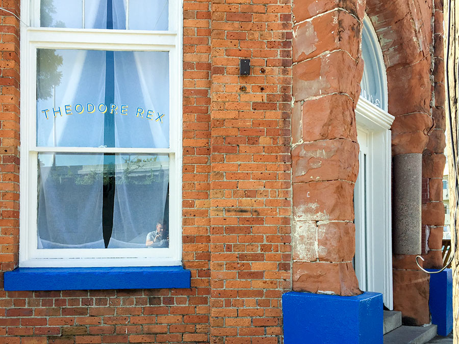
Just days before Harvey hit Houston, the newest corner restaurant at 1302 Nance St. in Downtown’s old warehouse district looked ready to debut. The photos here, taken by Swamplot reader Will Breaux shortly before the rains came and the waters swelled, show the spot formerly occupied by Oxheart sporting a new exterior paint job and window nameplate.
Inside, renovations had been taking place for months. Proprietor Justin Yu had plans to open Theodore Rex later in August. But the restaurant flooded. Now, he writes, “it might take a little more time to open.”
- Justin Yu’s Theodore Rex Sustains Flood Damage In Hurricane Harvey Flooding [Eater Houston]
- Justin Yu Could Debut Theodore Rex By the End of the Month [Eater Houston]
- Previously on Swamplot:Â Justin Yu To Close Oxheart, Spend Some Time in the Heights;Â Dharma Cafe to Ray’s Franks to Latin Bites to Oxheart
Photos:Â Will Breaux


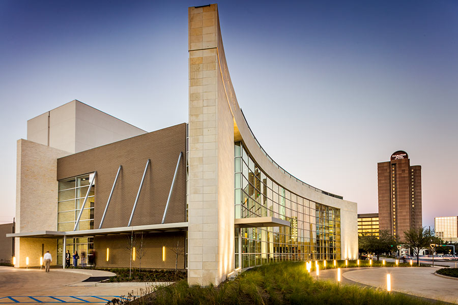 The A.D. Players‘ new 450-seat Jeannette and L.M. George Theater at 5420 Westheimer just west of the Galleria, which opened earlier this year, “has stood the storm well,” its operators report today on Facebook. But not so much the very first set of shows in the resident theater company’s new season: Because of Hurricane Harvey’s devastation,
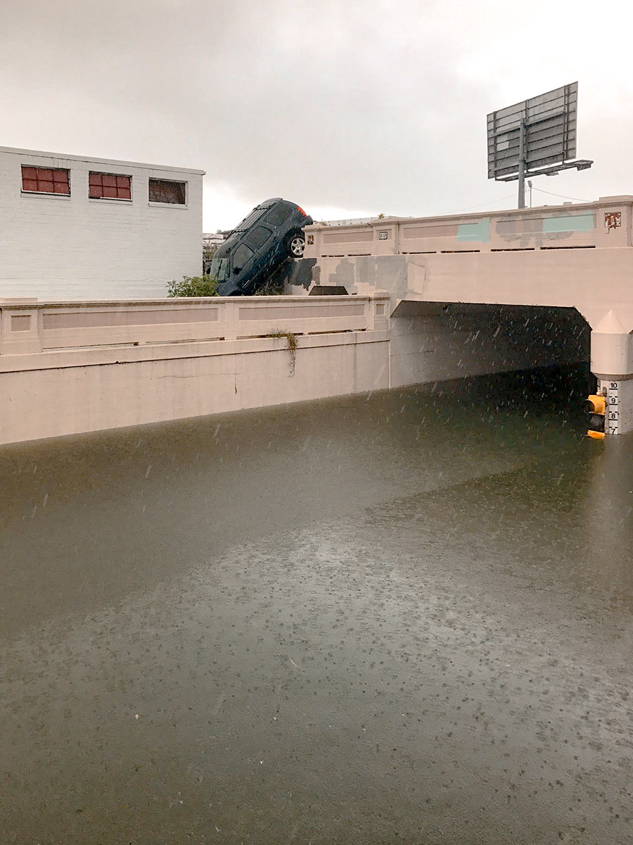
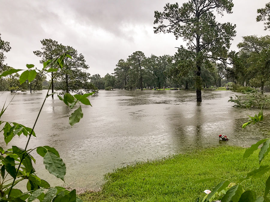
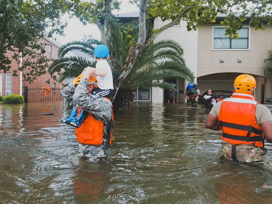 Got a story to share? Or just want to let folks on Swamplot — who might only know you by your commenting handle — know how you’ve been weathering the rising waters? No, the rains aren’t done yet, but if today or in the coming days you’d like a space to report on your experience or neighborhood, or just let everyone know if things are okay, please do so by adding a comment below. Photo:Â
 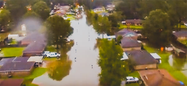 Suffered property damage from Hurricane Harvey and have access to a smartphone, computer, pen and paper, or your insurance agent? Forget about waiting for waters to recede before filing any insurance claim. You’ll want to do it now — or at least before Friday. What’s the rush? The new Texas law formerly known as House Bill 1774, passed by the Texas Legislature this session and signed by Governor Abbott in May, goes into effect on September 1. The “hailstorm lawsuit reform” measure reduces property owners’ leverage with insurance companies in weather-related claims — by making it more difficult for homeowners to sue agents successfully, increasing the obstacles to filing and carrying through with lawsuits over insurance coverage, and limiting the penalties insurance companies could face if they lose a lawsuit against you.
 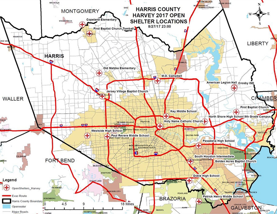 A few places you can hunt for shelters open now, whether you’re hunting for family or friends, looking for a volunteer opportunity, or have suddenly discovered your area is now under an evacuation order (as parts of Conroe and Missouri City found themselves this morning, following orders for Bay City and parts of Ft. Bend County and Rosenberg yesterday):
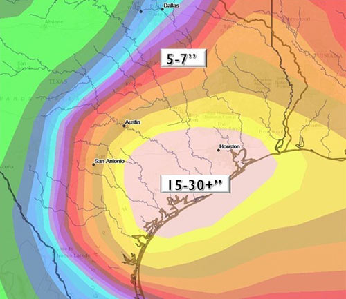
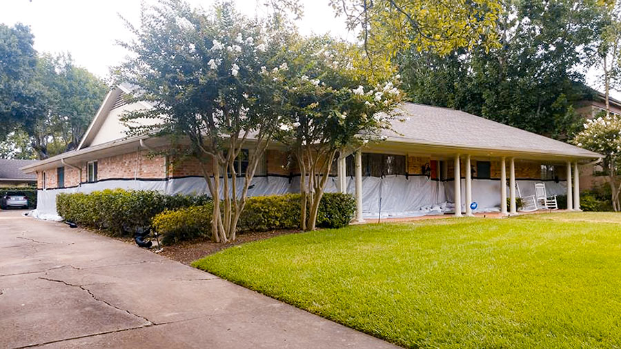 What kind of person would pay close to $5,000 to have 18,000 pounds of sandbags delivered and installed in a low stack in front of a 5-ft.-high waterproofing barrier surrounding her home? The owner of a Meyerland single-story 4-bedroom (pictured above) 1 block south of Brays Bayou that flooded “for the first time” in the Memorial Day deluge of 2015 (according to a real estate listing of that year) and then twice more in the past year or so. “
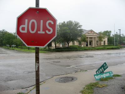 Houston’s first hurricane of the smartphone-carry era is almost upon us. Plus, at least a few of you will have drones at the ready this time (once the winds subside, of course). It all adds up to a grand possibility: Houston’s best-documented storm aftermath ever. Whichever direction you end up hunkering this long weekend, stay safe! But when the hazards recede and you venture out to see what’s up in or around your neighborhood, snap some pics or vids of notable sights and