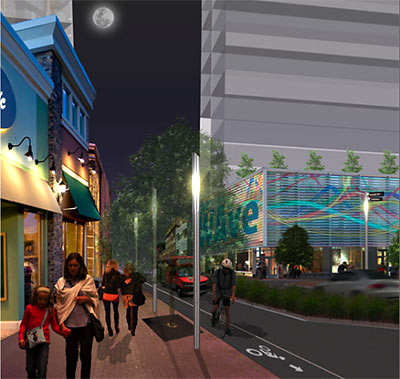
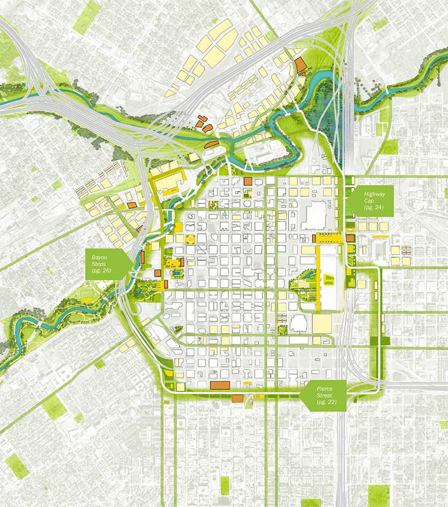
More new features are imagined for the center of Houston than just the new Green Loop highlighted in the just-released Plan Downtown proposal. There’s also a mysterious new Downtown island. Where did it come from?
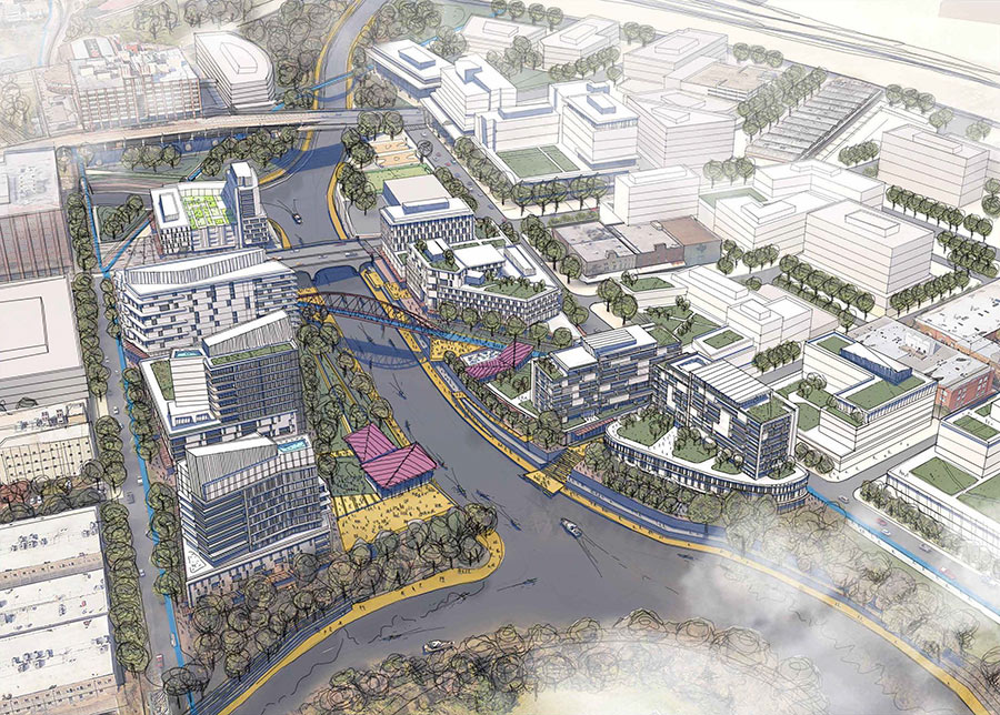
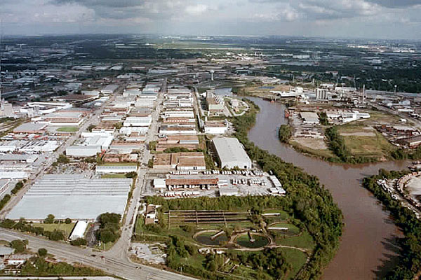
It’s the result of digging the long-whispered North Canal Channel Bypass, a re-linking of White Oak and Buffalo Bayous north of Downtown. Existing bends and narrow banks along the 2 bayous just east of Main St. restrict the flow of stormwater during flooding events. According to reports, engineering studies have estimated that cutting a straighter diversion channel to bypass the oxbow could reduce flooding Downtown by 3.5 ft.
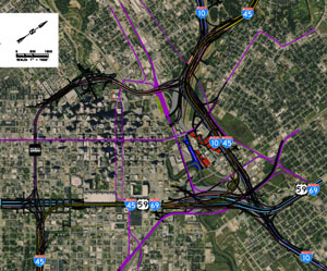
But digging a new canal while maintaining the existing path of the bayou would create an island out of the area just north of Commerce St. An imagined map of the area in Plan Downtown’s report (rotated so North is aimed down and to the right) shows what car and pedestrian bridges might link it to the mainland:


 “I’m going to go ahead and disagree on the value of planning. The best parts of the city (19th St, parts of Washington, parts of Midtown) were developed before the city passed Chapter 42, and would be illegal to replicate today.
What has planning gotten our fair city over the past half-century? Here’s a partial list:
1.) Density caps inside the loop (since repealed), driving multifamily development to areas farther away from downtown, increasing sprawl.
2.) 70+ ft. right-of-ways, which, along with our 25-ft setbacks, result in an absurd 120 feet between facades. Compare that to unplanned, human-scaled environments in pre-19th century cities and the result is 25% of land completely wasted, or given over to automobiles instead of people.
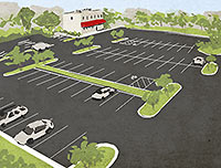
3.) Parking minimums, requiring up to 75% of land be given over to car storage.
4.) 25-ft. retail setbacks, which, combined with parking minimums, essentially mandate strip-mall development.
What Houston does well is where it doesn’t ‘plan.’ We don’t segregate residential, commercial and retail. We don’t limit residential density (much) (inside the loop), we don’t cap multi-family density (any more). All those great, walkable places we travel to on vacation have one thing in common: the almost complete lack of planning. And where they did do ‘planning’ it did more harm than good. The gothic quarter in Barcelona is way more charming than the Eixample, and don’t get me started on how Haussmann screwed up Paris.
Lump me in with the anti-planners on this one.” [
 The landscape architecture firm that
  “Blame our city’s efforts at ‘planning’ in lieu of zoning. In the early 70’s, due to insufficient wastewater infrastructure, the city enacted a ban on apartment buildings of more than 4 units inside the Loop (driving much of apartment development to Uptown and Meyerland) and enforced a 5000-sq.-ft. minimum lot size. This gave rise to the Montrose 4-plex (of which there are
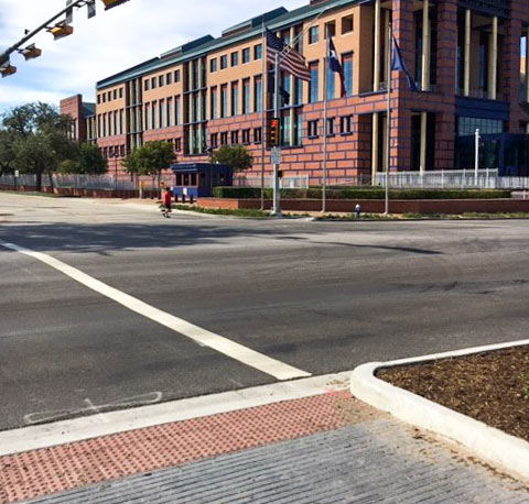
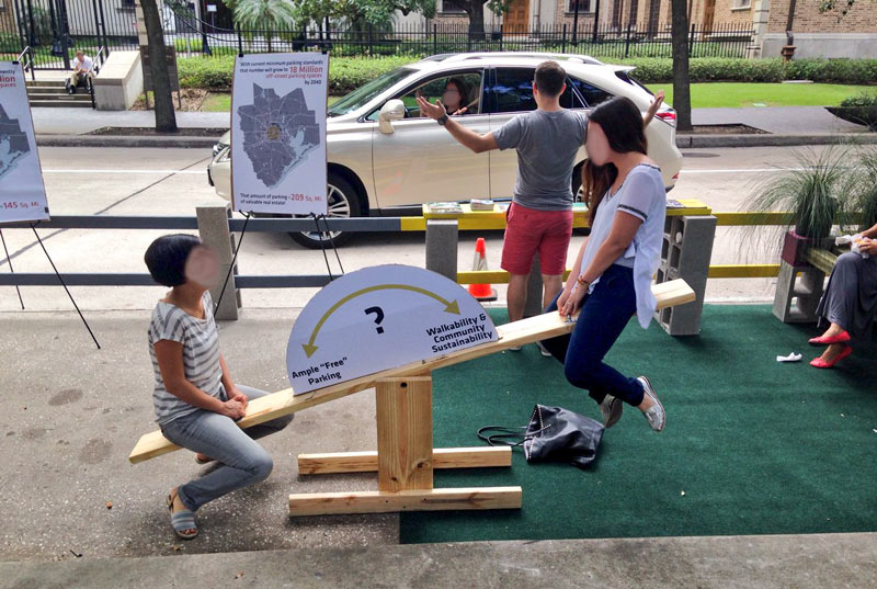 “While I understand, generally, the sentiment behind this initiative, I think in Houston it may be a little misguided. If we want a more walkable environment, with fewer buildings set back behind parking lots, we actually need more on-street parking spaces (to both accommodate business patrons arriving by car and help buffer pedestrians on the sidewalk), and fewer off-street ones.” [
 Taking together a recent rash of of
 Tory Gattis
  “A great comment and right on the money. Houston also needs to take the reins of community building instead of letting developers drive that bus. Subdivisions/neighborhoods are currently created by private developers without any thought to how they relate to adjacent communities, resulting in islands of development unconnected to each other in any meaningful way. How many times have we seen major roads come to a dead end because there’s a subdivision/office park/whatever right in the way? Houston’s lack of long-range regional planning (and no, I don’t mean zoning) is now coming home to roost, and I only hope it’s not too late to change direction. . . .” [
 “Maybe we’re the only folks that would consider watching such a show, but it would be interesting if one of the networks would create an Extreme Makeover: Cityscape Edition. Imagine if Peter Park were given a TV show size budget for each episode to improve the urban blueprint of a small area such as this. Think of how such a show could change our nation’s perception and understanding of our cities.” [