COMMENT OF THE DAY: WHY THE WATER IN YOUR NATURALLY FILTERED BAYOU-SIDE SWIMMING HOLE IS GOING TO BE BROWN 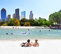 “I’ll bite. Here’s a very simple engineering analysis.
Problems with stream-fed swimming pools in Houston are going to be three-fold:
1) Silt (in engineer-speak, Total-Suspended-Solids or TSS). TSS is treated with sedimentation basins. That can be a large pool (that people don’t swim in) adjacent to the real pool. In water/wastewater treatment plants, a coagulant like alum is usually added to sedimentation basins to make TSS precipitate out quicker. If you’re going to do this with no chemicals, you’ve got to be willing to accept either VERY long treatment times, or only partially successful results. The tiny diameter of the clay particles that make up the TSS in our bayous just flat out won’t come out of suspension without a coagulant, so the water WILL be brown. It’s not necessarily a deal breaker — the water in Galveston’s brown too.
2) Bacteria (in engineer-speak, total coliform count). See here. Usually these are E. Coli, algae, and some protests. ALL streams/lakes/oceans in the entire world have this, even the cleanest and clearest. Realistically, to get an insurance policy to operate, the water’s going to have to be disinfected to some degree. That means chlorination (chemicals), ozonation (chemicals), or UV disinfection. More on UV in a minute.
3) Dissolved oxygen content. You don’t want the water to turn anaerobic. If there’s enough carbon-containing compounds dissolved in the water, the bacteria naturally in the water will eat it rapidly, causing the bacteria to use up all the oxygen that’s already dissolved in the water. This leads to any/all fish in the water suddenly dying off, as well as noxious smells and other really terrible stuff. You can make sure the dissolved oxygen doesn’t drop by filtering out carbon containing compounds (takes chemicals), or using aerators. A dual-way to solve the #2 and #3 issues is by passing the water over a very shallow (less than 6-in. deep) bed of rocks at a fast speed. Think rapids. This lets the water simultaneously re-oxygenate and also absorb huge amounts of UV. This might be the sort of silver bullet that makes this possible in Houston.
So: This is going to be expensive, but it’s probably do-able. However, the water is still going to be brown. Sorry.” [Ornlu, commenting on Bayou Swimming Hole Promoters Jump To Kickstarter To Jumpstart Project] Illustration: Houston Needs a Swimming Hole


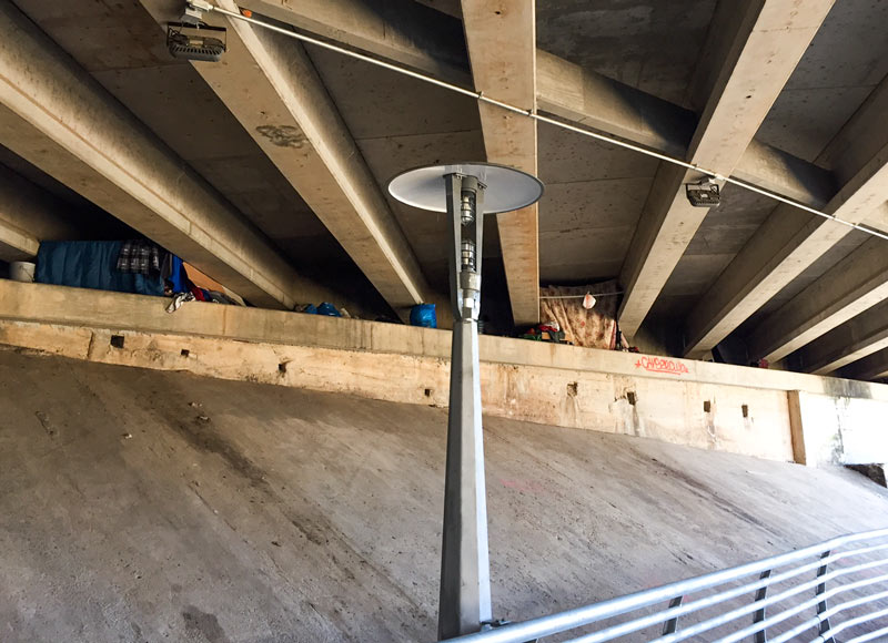

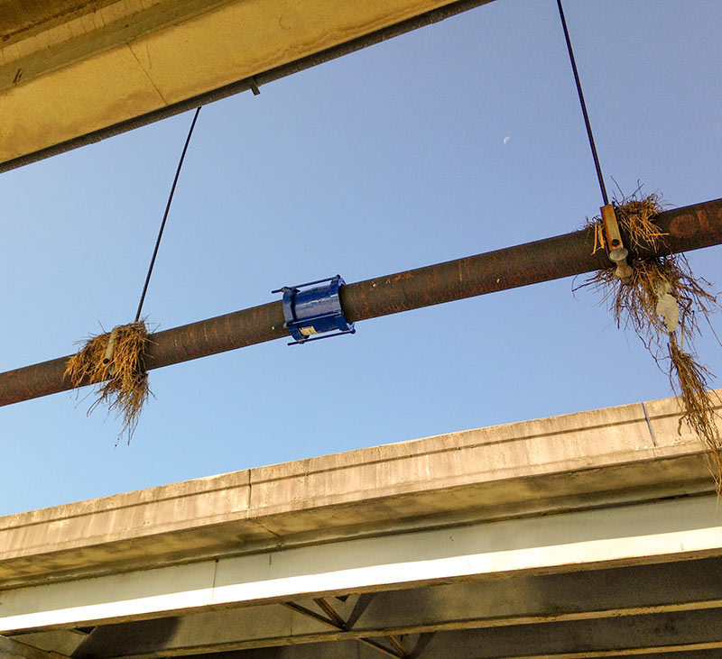 That pipe break spotted underneath an I-45 South overpass
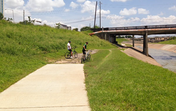
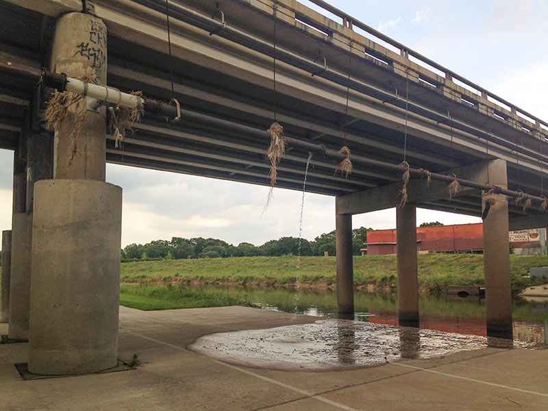
 “My neighborhood flooded in Allison in 2001, and then again on Monday night. I can’t tell you how many ‘so much for the 100-year flood plain‘ comments I heard walking up and down the street.
What it really means is that it is a flood (or more properly a storm, or my favorite, ‘rain event’) that has a 1% chance of happening every year. So what that really means is that if you live in the ‘100 year flood plain’ you have a 26% chance of flooding during your 30 year note. And for many of these areas the 100-year storm on which these maps are based have 100 years or less of accurate rainfall data.
A better rule of thumb is to remember: (1) if you live near a bayou and it rains A LOT, you will probably flood at some point. (2) if it’s raining A LOT and the road you are on dips below the grade of the adjacent roads, it’s probably going to flood and (3) if it’s raining A LOT where you are in Houston, you can count on it flooding.” [
 “I’ll bite. Here’s a very simple engineering analysis.
Problems with stream-fed swimming pools in Houston are going to be three-fold:
1) Silt (in engineer-speak, Total-Suspended-Solids or TSS). TSS is treated with
 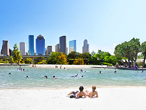 Just how feasible would it be to build a 3-acre self-cleaning swimming hole somewhere near the center of Houston, so you could take your own bathing-suits-and-skyscrapers pics like the one shown here — without resorting to Photoshop? If enough people donate to the
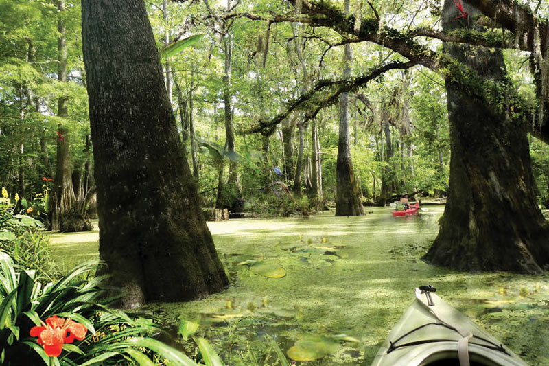
  “The definition of a ‘spring’ can vary a lot, and is used loosely here.
In Harris County, where the topography is relatively flat, most of our ‘ponds’ and ‘lakes’ are either borrow pits (excavated to raise the grade elsewhere) or dammed-up gullies/ravines along existing bayous. In this case, it is the latter — a gully of Buffalo Bayou that was dammed up, then developed into a neighborhood.
A ‘spring’ is generally a point where the top groundwater table meets the surface. In our area, when we receive a lot of rain, the groundwater table can actually reach the surface. So a spring can range from a trickle of water to a puddle standing on the surface. When I dug the post holes in my backyard for my cedar fence, I hit groundwater at 2 feet deep because of recent heavy rain. In dryer periods, the water table drops, and springs continue to occur along steep cuts in the topography (either along a bayou that has eroded downward, or a man-made excavation). This is not what you find in the Hill Country, where large gaping holes in limestone spew thousands of gallons per hour, sometimes creating rivers out of nothing.
So effectively, any hole in Houston greater than 2 feet deep at some point will become ‘spring-fed.’ During the bad drought of the past few years, most likely the groundwater table dropped and stopped feeding this former gully of the bayou, and the ‘lake’ was most likely topped off by (1) automatic sprinkler runoff and (2) the small amount of storm water runoff they received, as the lake also serves as the neighborhood drainage ditch.” [