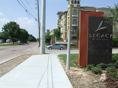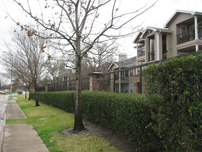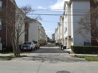
If you’re curious what the upper reaches of Montrose Blvd. look like from the viewpoint of an actual pedestrian, you’ll want to see blogger Charles Kuffner’s recent annotated photo walking tour of the area. Kuffner, who lived on Van Buren St. in the nineties, describes more recent developments on and around Montrose and Studemont — from West Gray north to Washington:
I did this partly to document what it looks like now – if you used to live there but haven’t seen it in awhile, you’ll be amazed – and partly to point out what I think can be done to make the eventual finished product better. . . .
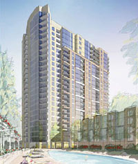
My thesis is simple. This is already an incredibly densely developed corridor, and it’s going to get more so as the new high rise is built [see Swamplot’s story here] and several parcels of now-empty land get sold and turned into something else. It’s already fairly pedestrian-friendly, but that needs to be improved. And for all the housing in that mile-long stretch of road, there’s not enough to do.
Kuffner’s guide is a Flickr photo set. You’ll get the most out of it if you view it as a slideshow with the captions turned on (on the link, click on Options in the lower right corner, then make sure Always Show Title and Description is checked).
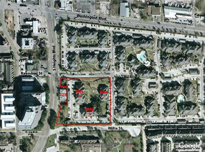
After the jump: A few more photos from Kuffner’s tour, plus an ID on those new condos behind Pronto!
CONTINUE READING THIS STORY


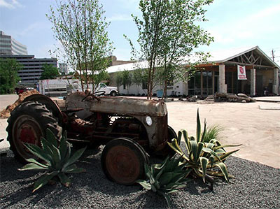
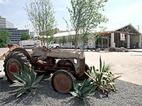 “Ford 9N. 1939 model I believe.” [