The Galveston District of the U.S. Army Corps of Engineers has made public a set of interactive maps — normally used by emergency personnel — that show which areas along the length of Buffalo Bayou are predicted to remain under water or emerge from it as officials continue to release water from the Addicks and Barker reservoirs upstream. Individual interactive map panels cover each day from September 5th through the 16th, but as of this date all rely on data developed on Tuesday, when the maps were created.
The embedded version above mimics the view from a mobile browser; you can zoom in to view the projected water line on any street. To switch days, click on one side or the other of the panel at the bottom of the frame — or choose the date directly from the menu that appears after you click on the icon in the top left corner.
To view the map in its own browser window, click here.
- Addicks and Barker Projected Inundation Levels [USACE Galveston]
- Know How High the River Flows [Save Buffalo Bayou]


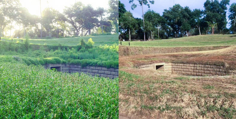
 The landscape architecture firm that


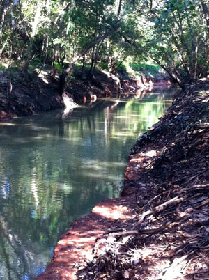 The stretch of Buffalo Bayou running between the
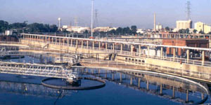 Yesterday’s floodwater caused diluted sewage releases from the 69th St. Wastewater Treatment Plant, located near the crossing of 69th St. over Buffalo Bayou (just upstream from the new


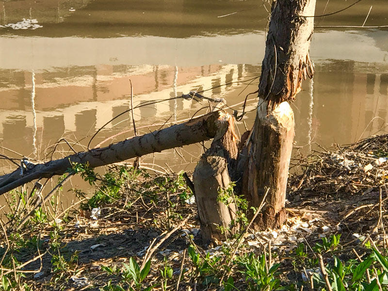
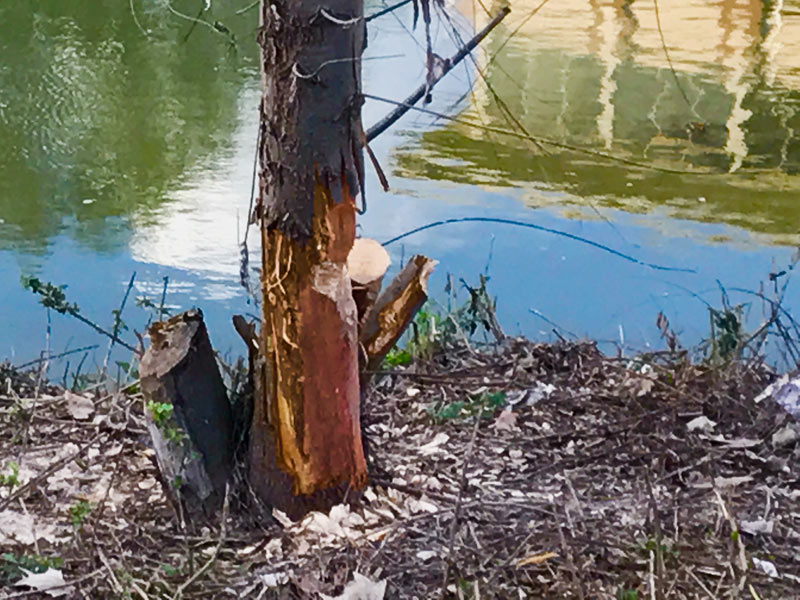
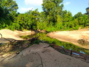 The waterway enthusiasts at Save Buffalo Bayou just issued their report on their recent tours of the waterway, with an eye toward how the scene has changed in the wake of the Tax Day flooding and the extended high flows from the try-not-to-make-things-worse paced drainage of the


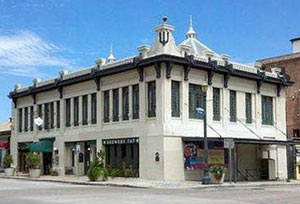
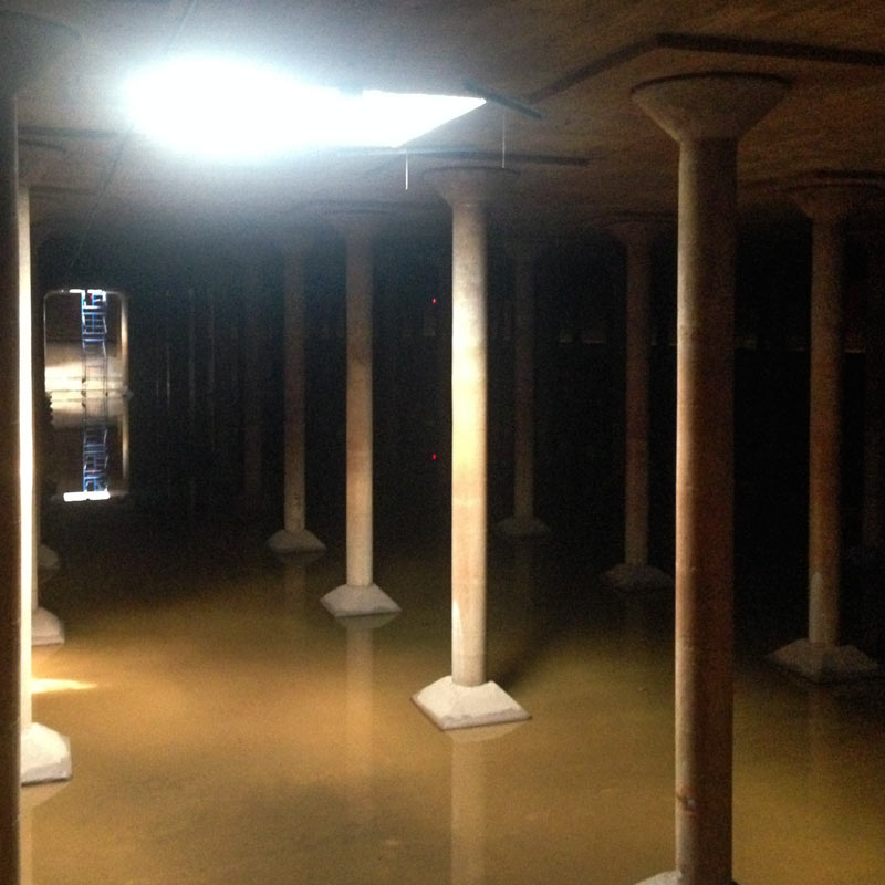
 The former