A web app put together by a 23-year-old German programmer lets you figure out how far you can travel on public transportation within a specific time period from any point in Houston — and 60 other cities worldwide. Give Mapnificent an address and a time limit (say 15 minutes) and it’ll mark on a Google map what areas of town are within your reach. Tell the app if you’re lugging around a bike or the maximum distance you’d be willing to walk to a stop or station and the resulting shapes will change accordingly. As Stefan Wehrmeyer’s video above demonstrates, you can also use Mapnificent to figure out areas where you and your car-shunning friends could meet up within 20 minutes — as well as all the coffee-shop, bar, nail-salon, or Apple Store hangouts available to you. More generally useful: Mapnificent can generate a heatmap for any location, showing what neighborhoods around any particular address are quicker or slower to reach by bus or train. (Note: If you don’t have Firefox, Chrome, Safari, Opera, or a car, you’re out of luck. The app doesn’t work on Internet Explorer.)
Video: Stefan Wehrmeyer

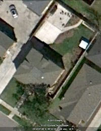 And the Brays Bayou-side Google Earth image updates are in: “This week, I was checking things out on GE and low and behold, my latest flower bed addition was clearly visible from the sky. I know this image is very recent, because I installed the bed over the Christmas holidays – before that it was struggling St. Augustine grass.
