
Sure it’s dug 35 ft. into the earth now, but who’s to say sometime after an additional 3 decades or so of mulling it over we couldn’t insert a steel hull under the thing — so that when the waters of the rising Gulf came for Houston, the Astrodome, stuffed with valuables and maybe a species specimen or two, couldn’t just up and spirit itself away? Of course in this scenario the whole Reliant Park area has already reverted to swamp, and raised-seawall Galveston’s been entirely underwater for a number of spring break cycles. It’s 2050, and after an extra water surge from Hurricane Rick — Rick? — overcomes the submerged island’s new dike, Houston has just a little bit of time left to get the Dome up on moorings, so the gently but steadily rising waters can lift it and carry it off to sea.
“One of the best things about this proposal,” writes the distinguished Reliant Stadium-loathing jury, not missing a beat, “is that it gets the dome away from its neighbor.” And so: second prize for “The Houston Ark,” by San Antonio architects Brantley Hightower (of HiWorks) and Erica Goranson (of Lake Flato Architects), in the strangely timed whatever-shall-become-of-the-Astrodome design competition sponsored by The Architect’s Newspaper and the zippy folks at YKK AP, whose winners were announced earlier this month.
What would this cargo-laden Astrodome carry?
CONTINUE READING THIS STORY
The Houston Ark
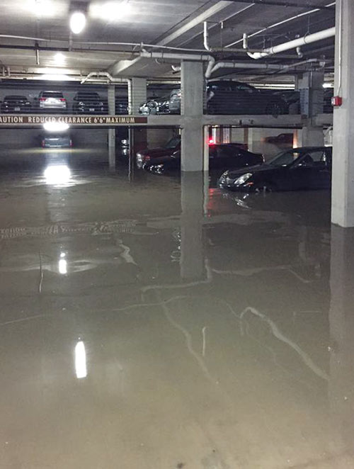
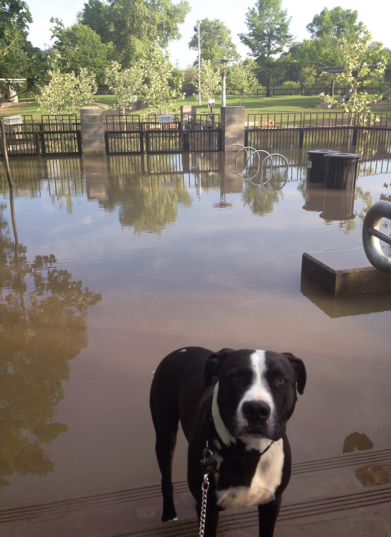
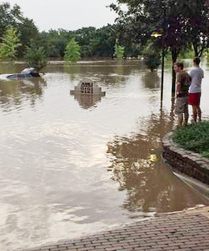 A resident of the bayou-side North Montrose apartments at 2121 Allen Pkwy. now known as AMLI 2121 (and formerly as the Bel Air; see the pictured monument sign) has cataloged a few of the nicer cars that were likely totaled yesterday as they took on water in the lower level of the garage of the complex. Included: a Lexus IS250, a Nissan 370z, and an Audi A4.


 “This train is needed and do-able, and I bet there are federal funds all up in it . . . However, shouldn’t Houston be moved to higher ground first — before making the long-term commitment?” [
 “The definition of a ‘spring’ can vary a lot, and is used loosely here.
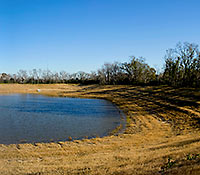
In Harris County, where the topography is relatively flat, most of our ‘ponds’ and ‘lakes’ are either borrow pits (excavated to raise the grade elsewhere) or dammed-up gullies/ravines along existing bayous. In this case, it is the latter — a gully of Buffalo Bayou that was dammed up, then developed into a neighborhood.
A ‘spring’ is generally a point where the top groundwater table meets the surface. In our area, when we receive a lot of rain, the groundwater table can actually reach the surface. So a spring can range from a trickle of water to a puddle standing on the surface. When I dug the post holes in my backyard for my cedar fence, I hit groundwater at 2 feet deep because of recent heavy rain. In dryer periods, the water table drops, and springs continue to occur along steep cuts in the topography (either along a bayou that has eroded downward, or a man-made excavation). This is not what you find in the Hill Country, where large gaping holes in limestone spew thousands of gallons per hour, sometimes creating rivers out of nothing.
So effectively, any hole in Houston greater than 2 feet deep at some point will become ‘spring-fed.’ During the bad drought of the past few years, most likely the groundwater table dropped and stopped feeding this former gully of the bayou, and the ‘lake’ was most likely topped off by (1) automatic sprinkler runoff and (2) the small amount of storm water runoff they received, as the lake also serves as the neighborhood drainage ditch.” [
 “At 13 seconds in, those houses across the water at the top of the frame are at the end of my street, South Burnett Drive, in the Lakewood subdivision. The street rises gradually as you travel away from the water, but the low end of the street lost over 20 houses during Hurricane Ike. Some owners have rebuilt on pilings, some have rebuilt at grade, and others have abandoned the property. (My own house is further up the street, at about 31 feet elevation.) The end of the flood debris field from Ike was about three lots south of my house. So, while the name ‘Swamplot’ is amusing, to some of us it is no joke.” [
 “A subway WILL work in Houston, albeit at a significantly higher cost. I’m a civil engineer who builds tunnels, nationwide. They’re not even significantly more expensive in Houston than elsewhere. Tunnels in LA, NY, Chicago, Montreal, London etc all have to deal with bedrock — which is very expensive to tunnel through. Instead, Houston uses open-cut excavation and massive soil amendments + ground water pumping to tunnel. For example — the depressed portions of US-59 from Shepherd to Montrose (or the depressed portion of Beltway 8 from Boheme to I-10) are essentially a tunnel with no roof because they’re lower than the bayou and the ground water table; it took expensive soil amendments and pumps to build that, the same as a subway. Our commuter rail tunnel projects in LA are bidding for between $18M-$20M per mile of track, while the at-grade portions are only about $4M per mile. We consistently find that tunnels cost about 4x-5x as much as at-grade track. Meanwhile, elevated track costs roughly $25M a mile (6x at-grade costs). . . .” [

 Simply filling in the 9-acre, 35-ft.-deep hole in the ground where the Astrodome now sits would eat up more than $10 million of the estimated $28 million it would cost to demolish the publicly owned structure, according to county engineers. (Another $8 million of that total has already been approved, for removal of asbestos, ticket booths, turnstiles, grass berms, and ramps, plus all the seats and interior items; that demo work is
  “I’ve been riding the trail along the Bayou for 6 years and I’d say the flood debris problem has been greatly reduced of late. That might just be a result of the drought, but certainly the city has been quicker to send crews with fire hoses to wash the trail after floods.
Some part of me misses the mess, though . . . I knew where the debris would tend to accumulate after a period of high water and developed affectionate nicknames for each patch.
Why, I’d whistle as I passed through dysentery ditch, and marvel at cholera canyon. But MRSA meadows, now that was some goop, I tell ya . . .” [
 Protecting the Ship Channel during an Ike-like (or worse) storm surge has led some to propose a